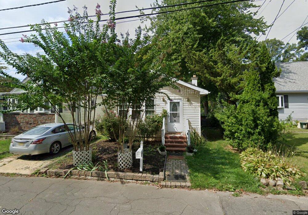
16 Hawthorne Ave Ewing, NJ 08638
Braeburn Heights NeighborhoodEstimated Value: $108,000 - $209,000
1
Bed
1
Bath
560
Sq Ft
$275/Sq Ft
Est. Value
About This Home
This home is located at 16 Hawthorne Ave, Ewing, NJ 08638 and is currently estimated at $154,172, approximately $275 per square foot. 16 Hawthorne Ave is a home located in Mercer County with nearby schools including Ewing High School, Paul Robeson Charter School For The Humanities, and Trenton Stem-To-Civics Charter School.
Ownership History
Date
Name
Owned For
Owner Type
Purchase Details
Closed on
Dec 3, 2009
Sold by
Ricigliano David M and Ricigliano Michael J
Bought by
Piech Krzysztof and Piech Barbara
Current Estimated Value
Purchase Details
Closed on
Oct 16, 2009
Sold by
Dell Richard and Russo Katherine D
Bought by
Ricigliano David M and Ricigliano Michael J
Purchase Details
Closed on
Apr 29, 2002
Sold by
Smith Michael Herbert
Bought by
Dell Richard and Dell Teri
Home Financials for this Owner
Home Financials are based on the most recent Mortgage that was taken out on this home.
Original Mortgage
$43,200
Interest Rate
7.15%
Purchase Details
Closed on
Feb 21, 1990
Sold by
Harter Thomas
Bought by
Herbert-Smith Michael and Herbert-Smith Luann
Create a Home Valuation Report for This Property
The Home Valuation Report is an in-depth analysis detailing your home's value as well as a comparison with similar homes in the area
Home Values in the Area
Average Home Value in this Area
Purchase History
| Date | Buyer | Sale Price | Title Company |
|---|---|---|---|
| Piech Krzysztof | $31,500 | Mercer Title Svcs Agency Inc | |
| Ricigliano David M | $25,000 | Mercer Title Svcs Agency Inc | |
| Dell Richard | $54,000 | -- | |
| Herbert-Smith Michael | $59,000 | -- |
Source: Public Records
Mortgage History
| Date | Status | Borrower | Loan Amount |
|---|---|---|---|
| Previous Owner | Dell Richard | $43,200 |
Source: Public Records
Tax History
| Year | Tax Paid | Tax Assessment Tax Assessment Total Assessment is a certain percentage of the fair market value that is determined by local assessors to be the total taxable value of land and additions on the property. | Land | Improvement |
|---|---|---|---|---|
| 2025 | $2,918 | $74,200 | $41,300 | $32,900 |
| 2024 | $2,743 | $74,200 | $41,300 | $32,900 |
Source: Public Records
Map
Nearby Homes
- 50 Groveland Ave
- 91 Groveland Ave
- 43 Iowana Ave
- 124 Hawthorne Ave
- 137 Ardsley Ave
- 17 Hillman Ave
- 37 Central Ave
- 28 Brattle Ave
- 120 Sussex St
- 200 Upland Ave
- 1600 13th St
- 161 Louisiana Ave
- 16 Bittersweet Rd
- 24 Glen Stewart Dr
- 140 Crescent Ave
- 40 Arden Ave
- 41 Poland St
- 643 Concord Cir
- 7 Mabel St
- 9 Weston Rd
- 18 Hawthorne Ave
- 14 Hawthorne Ave
- 20 Hawthorne Ave
- 10 Hawthorne Ave
- 87 Woodland Ave
- 26 Hawthorne Ave
- 11 Hawthorne Ave
- 17 Hawthorne Ave
- 8 Hawthorne Ave
- 9 Hawthorne Ave
- 89 Woodland Ave
- 23 Hawthorne Ave
- 5 Hawthorne Ave
- 30 Hawthorne Ave
- 67 Woodland Ave
- 95 Woodland Ave
- 18 Ardsley Ave
- 22 Ardsley Ave
- 12 Ardsley Ave
- 40 Groveland Ave
Your Personal Tour Guide
Ask me questions while you tour the home.