16 Hawthorne St Bristol, CT 06010
Forestville NeighborhoodEstimated Value: $243,000 - $275,172
2
Beds
1
Bath
954
Sq Ft
$273/Sq Ft
Est. Value
About This Home
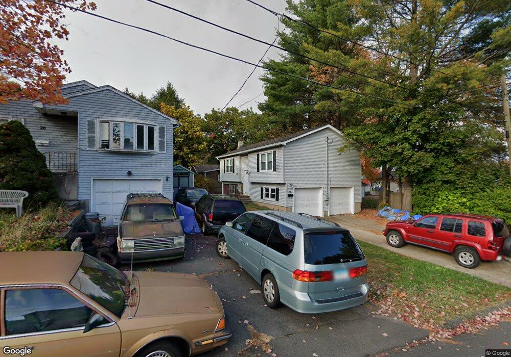
This home is located at 16 Hawthorne St, Bristol, CT 06010 and is currently estimated at $260,293, approximately $272 per square foot. 16 Hawthorne St is a home located in Hartford County with nearby schools including Bristol Central High School, St Matthew School, and St. Joseph School.
Ownership History
Date
Name
Owned For
Owner Type
Purchase Details
Closed on
Feb 16, 2023
Sold by
Bensics Sara V
Bought by
Bensics Frank
Current Estimated Value
Purchase Details
Closed on
Dec 3, 1990
Sold by
Mills David
Bought by
Fleming Gary H
Create a Home Valuation Report for This Property
The Home Valuation Report is an in-depth analysis detailing your home's value as well as a comparison with similar homes in the area
Home Values in the Area
Average Home Value in this Area
Purchase History
| Date | Buyer | Sale Price | Title Company |
|---|---|---|---|
| Bensics Frank | $190,000 | None Available | |
| Fleming Gary H | $127,000 | -- |
Source: Public Records
Mortgage History
| Date | Status | Borrower | Loan Amount |
|---|---|---|---|
| Previous Owner | Fleming Gary H | $34,000 | |
| Previous Owner | Fleming Gary H | $28,000 | |
| Previous Owner | Fleming Gary H | $101,500 | |
| Previous Owner | Fleming Gary H | $34,300 |
Source: Public Records
Tax History Compared to Growth
Tax History
| Year | Tax Paid | Tax Assessment Tax Assessment Total Assessment is a certain percentage of the fair market value that is determined by local assessors to be the total taxable value of land and additions on the property. | Land | Improvement |
|---|---|---|---|---|
| 2025 | $4,588 | $135,940 | $28,700 | $107,240 |
| 2024 | $4,325 | $135,800 | $28,700 | $107,100 |
| 2023 | $4,122 | $135,800 | $28,700 | $107,100 |
| 2022 | $3,675 | $95,830 | $20,930 | $74,900 |
| 2021 | $3,675 | $95,830 | $20,930 | $74,900 |
| 2020 | $3,675 | $95,830 | $20,930 | $74,900 |
| 2019 | $3,646 | $95,830 | $20,930 | $74,900 |
| 2018 | $3,534 | $95,830 | $20,930 | $74,900 |
| 2017 | $3,180 | $88,270 | $28,490 | $59,780 |
| 2016 | $3,180 | $88,270 | $28,490 | $59,780 |
| 2015 | $3,055 | $88,270 | $28,490 | $59,780 |
| 2014 | $3,055 | $88,270 | $28,490 | $59,780 |
Source: Public Records
Map
Nearby Homes
- 196 Frederick St
- 103 Benham St
- 482 Broad St Unit TRLR 14
- 482 Broad St Unit 3
- 16 Mechanic St
- 371 Emmett St Unit 6
- 370 Emmett St Unit 5-5
- 370 Emmett St Unit 5-2
- 370 Emmett St Unit 3-2
- 370 Emmett St Unit 5-1
- 370 Emmett St Unit 5-4
- 63 Kenney St
- 36 Surrey Dr
- 424 Emmett St Unit K
- 426 Emmett St Unit N
- 426 Emmett St Unit L
- 430 Emmett St Unit L
- 683 Pine St
- 334 W Washington St
- 114 Lake Ave