16 High Pasture Ln York, ME 03909
Ogunquit NeighborhoodEstimated Value: $2,877,000 - $3,401,000
5
Beds
4
Baths
4,609
Sq Ft
$695/Sq Ft
Est. Value
About This Home
This home is located at 16 High Pasture Ln, York, ME 03909 and is currently estimated at $3,204,118, approximately $695 per square foot. 16 High Pasture Ln is a home located in York County with nearby schools including Coastal Ridge Elementary School, Village Elementary School, and York Middle School.
Ownership History
Date
Name
Owned For
Owner Type
Purchase Details
Closed on
Sep 18, 2024
Sold by
Feeney Francis D and Feeney Arina
Bought by
Delaney Joseph P and Delaney Lynne
Current Estimated Value
Create a Home Valuation Report for This Property
The Home Valuation Report is an in-depth analysis detailing your home's value as well as a comparison with similar homes in the area
Home Values in the Area
Average Home Value in this Area
Purchase History
| Date | Buyer | Sale Price | Title Company |
|---|---|---|---|
| Delaney Joseph P | $3,090,000 | None Available | |
| Delaney Joseph P | $3,090,000 | None Available | |
| Delaney Joseph P | $3,090,000 | None Available | |
| Delaney Joseph P | $3,090,000 | None Available |
Source: Public Records
Tax History Compared to Growth
Tax History
| Year | Tax Paid | Tax Assessment Tax Assessment Total Assessment is a certain percentage of the fair market value that is determined by local assessors to be the total taxable value of land and additions on the property. | Land | Improvement |
|---|---|---|---|---|
| 2024 | $23,973 | $2,853,900 | $1,177,800 | $1,676,100 |
| 2023 | $20,979 | $2,482,700 | $806,600 | $1,676,100 |
| 2022 | $20,104 | $2,351,300 | $805,300 | $1,546,000 |
| 2021 | $23,699 | $2,381,800 | $1,135,600 | $1,246,200 |
| 2020 | $24,218 | $2,181,800 | $1,135,600 | $1,046,200 |
| 2019 | $23,370 | $2,096,000 | $1,049,800 | $1,046,200 |
| 2018 | $11,742 | $2,072,300 | $1,023,400 | $1,048,900 |
| 2017 | $23,937 | $2,186,000 | $1,036,600 | $1,149,400 |
| 2016 | $24,202 | $2,170,600 | $1,007,900 | $1,162,700 |
| 2015 | $23,678 | $2,152,500 | $976,600 | $1,175,900 |
| 2014 | $23,032 | $2,152,500 | $976,600 | $1,175,900 |
| 2013 | $22,550 | $2,162,000 | $959,600 | $1,202,400 |
Source: Public Records
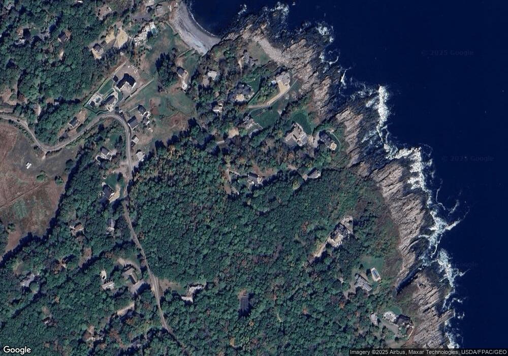
Map
Nearby Homes
- 62 Pine Hill Rd S Unit 105
- 62 Pine Hill Rd S
- 45 Woodbury Ln Unit 8
- 41 Circuit Rd
- 117 Perkins Cove Rd
- 113 Perkins Cove Rd
- 413 Shore Rd
- 90 Bald Head Cliff Rd
- 31 Perkins Cove Rd
- 350 Pine Hill Rd
- 113 Bald Head Cliff Rd
- 15 Cooley Ln
- 327 Pine Hill Rd
- 33 Rocky Ln
- 55 Israel Head Rd Unit 105
- 200 Shore Rd
- 35 Main St Unit 8
- 89 Main St
- 1 Ruby Rd
- 8 Jack Rabbit Ridge
- 16 High Pasture Ln
- 22 High Pasture Ln
- 14 Sandy Point Rd
- 7 Jack' South Cove Rd
- 22 High Pasture Ln
- 11 Sandy Point Rd
- 49 High Pasture Ln
- 15 Sandy Point Rd
- 10 Baldwin Ln
- 20 Sandy Point Rd
- 11 Brazer Point
- 741 Shore Rd
- 2 Baldwin Ln
- 16 Brazer Point
- 749 Shore Rd
- 45 High Pasture Ln
- 7 Jacks Cove Rd
- 7 Jacks Cove Ln
- 7 Jack's Cove Ln
- 7 Jacks Cove Ln