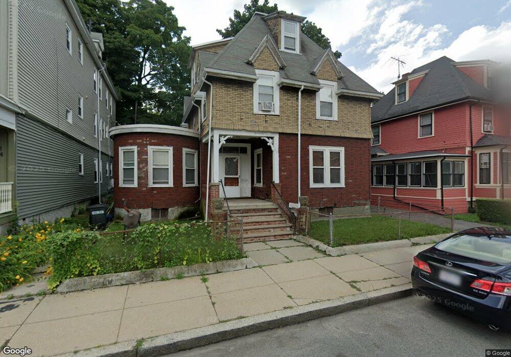
16 Howland St Dorchester, MA 02121
Washington Park NeighborhoodEstimated Value: $682,000 - $930,000
2
Beds
2
Baths
800
Sq Ft
$1,011/Sq Ft
Est. Value
About This Home
This home is located at 16 Howland St, Dorchester, MA 02121 and is currently estimated at $808,982, approximately $1,011 per square foot. 16 Howland St is a home located in Suffolk County with nearby schools including Bridge Boston Charter School and Mother Caroline Academy & Education Center.
Ownership History
Date
Name
Owned For
Owner Type
Purchase Details
Closed on
Dec 29, 2004
Sold by
Robinson Ruthie L and Robinson Charles J
Bought by
Robinson Charlie J
Current Estimated Value
Home Financials for this Owner
Home Financials are based on the most recent Mortgage that was taken out on this home.
Original Mortgage
$360,000
Outstanding Balance
$181,518
Interest Rate
5.73%
Mortgage Type
Purchase Money Mortgage
Estimated Equity
$627,464
Create a Home Valuation Report for This Property
The Home Valuation Report is an in-depth analysis detailing your home's value as well as a comparison with similar homes in the area
Home Values in the Area
Average Home Value in this Area
Purchase History
| Date | Buyer | Sale Price | Title Company |
|---|---|---|---|
| Robinson Charlie J | $450,000 | -- |
Source: Public Records
Mortgage History
| Date | Status | Borrower | Loan Amount |
|---|---|---|---|
| Open | Robinson Charlie J | $360,000 | |
| Previous Owner | Robinson Charlie J | $175,000 |
Source: Public Records
Tax History Compared to Growth
Tax History
| Year | Tax Paid | Tax Assessment Tax Assessment Total Assessment is a certain percentage of the fair market value that is determined by local assessors to be the total taxable value of land and additions on the property. | Land | Improvement |
|---|---|---|---|---|
| 2025 | $7,298 | $630,200 | $284,100 | $346,100 |
| 2024 | $6,462 | $592,800 | $241,000 | $351,800 |
| 2023 | $5,951 | $554,100 | $225,300 | $328,800 |
| 2022 | $5,480 | $503,700 | $204,800 | $298,900 |
| 2021 | $5,023 | $470,800 | $191,400 | $279,400 |
| 2020 | $4,361 | $413,000 | $187,800 | $225,200 |
| 2019 | $4,068 | $386,000 | $139,500 | $246,500 |
| 2018 | $3,746 | $357,400 | $139,500 | $217,900 |
| 2017 | $3,639 | $343,600 | $139,500 | $204,100 |
| 2016 | $3,375 | $306,800 | $139,500 | $167,300 |
| 2015 | $2,825 | $233,300 | $91,900 | $141,400 |
| 2014 | $2,496 | $198,400 | $91,900 | $106,500 |
Source: Public Records
Map
Nearby Homes
- 7 Waumbeck St Unit 3
- 164 Ruthven St Unit 1
- 495 Warren St
- 4 Wyoming St Unit 2
- 28 Wabon St
- 476 Warren St
- 2 Otisfield St
- 32 Hartwell St
- 40 Devon St Unit 3
- 214 Humboldt Ave
- 352 Blue Hill Ave Unit 8
- 340 Blue Hill Ave
- 5 Glenburne St
- 8 Weldon St
- 12 Weldon St
- 52 Intervale St
- 63 Normandy St
- 78 Hutchings St Unit 1
- 75 Ruthven St
- 157-165 Stanwood St
- 16 Howland St Unit 2
- 16 Howland St
- 16 Howland St Unit 1
- 14 Howland St
- 18 Howland St
- 12 Howland St
- 20 Howland St
- 17 Howland St
- 15 Howland St
- 31 Crawford St
- 31 Crawford St Unit 3
- 31 Crawford St
- 31 Crawford St Unit 2
- 29 Crawford St
- 11 Howland St
- 19 Howland St
- 33 Crawford St
- 22 Howland St
- 10 Howland St
- 36 Elm Hill Ave