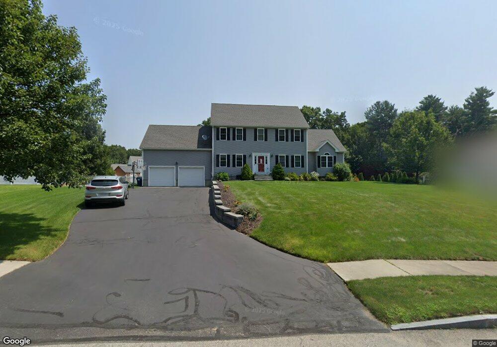
16 Jared Dr Sutton, MA 01590
Estimated Value: $731,000 - $1,126,000
4
Beds
3
Baths
2,448
Sq Ft
$368/Sq Ft
Est. Value
About This Home
This home is located at 16 Jared Dr, Sutton, MA 01590 and is currently estimated at $901,610, approximately $368 per square foot. 16 Jared Dr is a home located in Worcester County with nearby schools including Sutton Elementary School, Sutton Middle School, and Sutton High School.
Ownership History
Date
Name
Owned For
Owner Type
Purchase Details
Closed on
Aug 12, 2010
Sold by
Jlt Dev Llc
Bought by
Litchfield Corey J and Litchfield Gillian D
Current Estimated Value
Home Financials for this Owner
Home Financials are based on the most recent Mortgage that was taken out on this home.
Original Mortgage
$260,000
Outstanding Balance
$172,666
Interest Rate
4.63%
Mortgage Type
Purchase Money Mortgage
Estimated Equity
$728,944
Create a Home Valuation Report for This Property
The Home Valuation Report is an in-depth analysis detailing your home's value as well as a comparison with similar homes in the area
Home Values in the Area
Average Home Value in this Area
Purchase History
| Date | Buyer | Sale Price | Title Company |
|---|---|---|---|
| Litchfield Corey J | $409,400 | -- |
Source: Public Records
Mortgage History
| Date | Status | Borrower | Loan Amount |
|---|---|---|---|
| Open | Litchfield Corey J | $260,000 |
Source: Public Records
Tax History
| Year | Tax Paid | Tax Assessment Tax Assessment Total Assessment is a certain percentage of the fair market value that is determined by local assessors to be the total taxable value of land and additions on the property. | Land | Improvement |
|---|---|---|---|---|
| 2025 | $8,755 | $728,400 | $156,600 | $571,800 |
| 2024 | $8,768 | $691,500 | $135,000 | $556,500 |
| 2023 | $8,230 | $594,200 | $118,000 | $476,200 |
| 2022 | $8,381 | $552,100 | $119,400 | $432,700 |
| 2021 | $3,053 | $509,100 | $119,400 | $389,700 |
| 2020 | $8,855 | $509,100 | $119,400 | $389,700 |
| 2019 | $7,809 | $472,700 | $115,200 | $357,500 |
| 2018 | $8,288 | $451,100 | $115,200 | $335,900 |
| 2017 | $7,356 | $445,800 | $101,300 | $344,500 |
| 2016 | $7,196 | $431,400 | $101,300 | $330,100 |
| 2015 | $6,907 | $414,100 | $101,300 | $312,800 |
| 2014 | $6,367 | $377,200 | $104,500 | $272,700 |
Source: Public Records
Map
Nearby Homes
- 201 Prescott Rd
- 923 Main St
- 37 Bayliss Way
- 22 Bayliss Way
- 14 C St
- 2 D St
- 16 Hough Rd
- 34 Crescent St Unit 34
- 8 Hough Rd
- 28 Johnson Rd
- 158 Purgatory Rd
- 33 Nautical Way Unit 107
- 30-32 Spring St
- 26 Compass Point Dr Unit 26
- 36 Compass Point Dr Unit 36
- 128 Linwood Ave
- 81 Rebecca Rd
- 79 Country Club Dr
- 208-210 Church St
- 86 Kingsnorth St
Your Personal Tour Guide
Ask me questions while you tour the home.