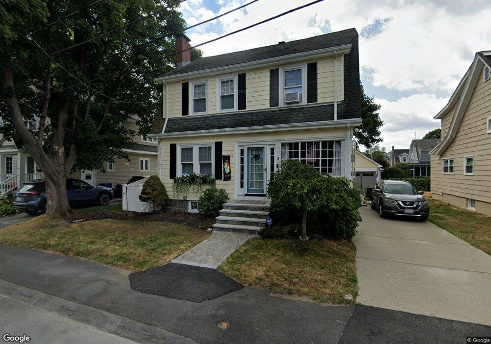
16 Johnson St Milton, MA 02186
Estimated Value: $715,000 - $947,000
3
Beds
1
Bath
1,330
Sq Ft
$593/Sq Ft
Est. Value
About This Home
This home is located at 16 Johnson St, Milton, MA 02186 and is currently estimated at $789,344, approximately $593 per square foot. 16 Johnson St is a home located in Norfolk County with nearby schools including Milton High School, St. Agatha School, and Adams Montessori School.
Ownership History
Date
Name
Owned For
Owner Type
Purchase Details
Closed on
Sep 11, 1998
Sold by
Riley Robert L
Bought by
Hunt William J and Hunt Margaret M
Current Estimated Value
Create a Home Valuation Report for This Property
The Home Valuation Report is an in-depth analysis detailing your home's value as well as a comparison with similar homes in the area
Purchase History
| Date | Buyer | Sale Price | Title Company |
|---|---|---|---|
| Hunt William J | $170,000 | -- |
Source: Public Records
Mortgage History
| Date | Status | Borrower | Loan Amount |
|---|---|---|---|
| Open | Hunt William J | $225,000 | |
| Closed | Hunt William J | $60,700 |
Source: Public Records
Tax History
| Year | Tax Paid | Tax Assessment Tax Assessment Total Assessment is a certain percentage of the fair market value that is determined by local assessors to be the total taxable value of land and additions on the property. | Land | Improvement |
|---|---|---|---|---|
| 2025 | $8,321 | $750,300 | $457,500 | $292,800 |
| 2024 | $8,019 | $734,300 | $435,800 | $298,500 |
| 2023 | $7,591 | $665,900 | $387,500 | $278,400 |
| 2022 | $7,533 | $604,100 | $387,500 | $216,600 |
| 2021 | $7,495 | $570,800 | $364,600 | $206,200 |
| 2020 | $6,775 | $516,400 | $314,400 | $202,000 |
| 2019 | $6,610 | $501,500 | $305,300 | $196,200 |
| 2018 | $6,273 | $454,200 | $261,400 | $192,800 |
| 2017 | $5,867 | $432,700 | $249,000 | $183,700 |
| 2016 | $5,787 | $428,700 | $249,000 | $179,700 |
| 2015 | $5,646 | $405,000 | $229,300 | $175,700 |
Source: Public Records
Map
Nearby Homes
- 123 Piermont St
- 406 Beale St
- 0 Franklin St
- 41 Wallace Rd
- 440 Granite Ave Unit 201
- 10 White St
- 154 N Central Ave
- 52 Hamilton Ave
- 43 Hilma St
- 52 California Ave
- 98 Safford St
- 397 Adams St
- 400 Adams St Unit A
- 141 Gardiner Rd
- 10 Weston Ave Unit 322
- 39 Fayette St Unit 403
- 46 Century Ln
- 72 Oakland Ave
- 17 Holmes St Unit 2
- 17 Holmes St Unit 3
Your Personal Tour Guide
Ask me questions while you tour the home.