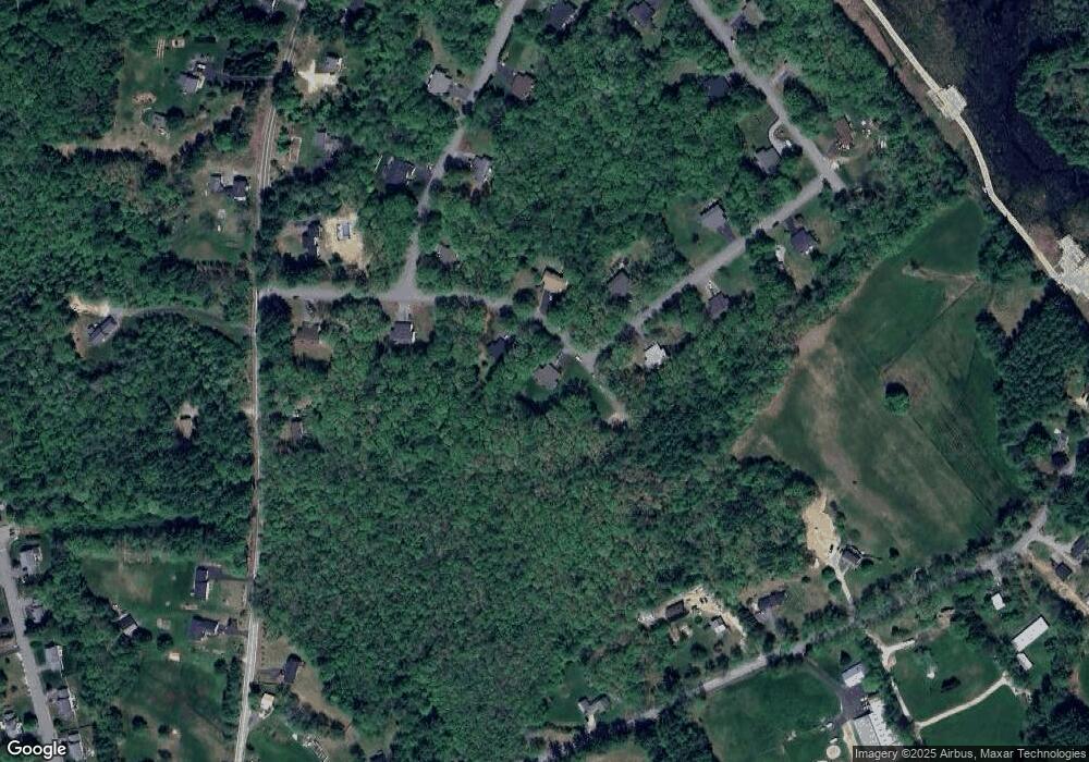
16 Judith Dr Concord, NH 03301
East Concord NeighborhoodEstimated Value: $352,000 - $393,000
2
Beds
2
Baths
1,352
Sq Ft
$276/Sq Ft
Est. Value
About This Home
This home is located at 16 Judith Dr, Concord, NH 03301 and is currently estimated at $373,802, approximately $276 per square foot. 16 Judith Dr is a home located in Merrimack County with nearby schools including Broken Ground School, Rundlett Middle School, and Concord High School.
Ownership History
Date
Name
Owned For
Owner Type
Purchase Details
Closed on
Nov 16, 2020
Sold by
Roy Bonnie and Roy Paul P
Bought by
Labranche Dylan
Current Estimated Value
Home Financials for this Owner
Home Financials are based on the most recent Mortgage that was taken out on this home.
Original Mortgage
$189,000
Outstanding Balance
$168,183
Interest Rate
2.8%
Mortgage Type
New Conventional
Estimated Equity
$205,619
Purchase Details
Closed on
Nov 22, 2002
Sold by
Desfosses Charles H
Bought by
Roy Paul P and Roy Bonnie R
Home Financials for this Owner
Home Financials are based on the most recent Mortgage that was taken out on this home.
Original Mortgage
$123,500
Interest Rate
6.07%
Mortgage Type
Purchase Money Mortgage
Create a Home Valuation Report for This Property
The Home Valuation Report is an in-depth analysis detailing your home's value as well as a comparison with similar homes in the area
Home Values in the Area
Average Home Value in this Area
Purchase History
| Date | Buyer | Sale Price | Title Company |
|---|---|---|---|
| Labranche Dylan | $210,000 | None Available | |
| Labranche Dylan | $210,000 | None Available | |
| Labranche Dylan | $210,000 | None Available | |
| Roy Paul P | $130,000 | -- | |
| Roy Paul P | $130,000 | -- |
Source: Public Records
Mortgage History
| Date | Status | Borrower | Loan Amount |
|---|---|---|---|
| Open | Labranche Dylan | $189,000 | |
| Closed | Labranche Dylan | $189,000 | |
| Previous Owner | Roy Paul P | $123,500 |
Source: Public Records
Tax History Compared to Growth
Tax History
| Year | Tax Paid | Tax Assessment Tax Assessment Total Assessment is a certain percentage of the fair market value that is determined by local assessors to be the total taxable value of land and additions on the property. | Land | Improvement |
|---|---|---|---|---|
| 2024 | $6,579 | $237,600 | $0 | $237,600 |
| 2023 | $6,382 | $237,600 | $0 | $237,600 |
| 2022 | $6,151 | $237,600 | $0 | $237,600 |
| 2021 | $5,969 | $237,600 | $0 | $237,600 |
| 2020 | $5,967 | $223,000 | $0 | $223,000 |
| 2019 | $5,937 | $213,700 | $0 | $213,700 |
| 2018 | $5,542 | $196,600 | $0 | $196,600 |
| 2017 | $5,247 | $185,800 | $0 | $185,800 |
| 2016 | $5,069 | $183,200 | $0 | $183,200 |
| 2015 | $4,774 | $174,600 | $0 | $174,600 |
| 2014 | $4,681 | $174,600 | $0 | $174,600 |
| 2013 | -- | $177,700 | $0 | $177,700 |
| 2012 | -- | $182,800 | $0 | $182,800 |
Source: Public Records
Map
Nearby Homes
- 6 Irving Dr
- 2 Shaker Rd
- 61 Mountain Rd
- 11 Eastman St
- 79 Oakmont Dr
- 32 E Side Dr
- 294 Portsmouth St
- 8 NE Village Rd
- 370 Shaker Rd
- 12 E Side Dr Unit 4-13
- 35 Callaway Dr Unit 2
- 35 Callaway Dr Unit 6
- 22 Piscataqua Rd
- 17 Burns Ave Unit 2
- 282-284 N State St
- 15 Hothole Pond Rd
- 3 Palm St
- 19 Grappone Dr
- 59 Branch Turnpike
- 20 Prospect St