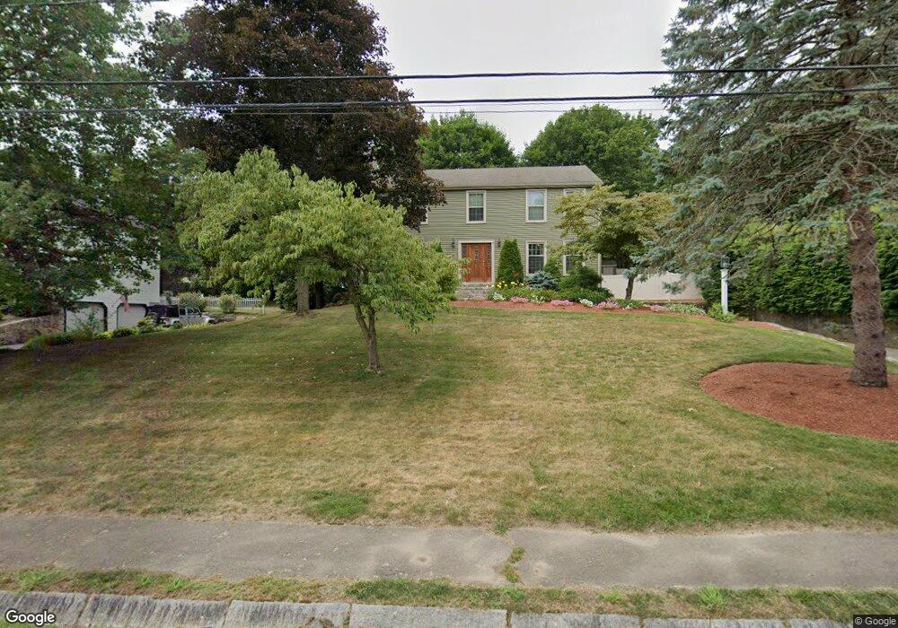
16 Lantern Ln Milford, MA 01757
Estimated Value: $636,899 - $743,000
4
Beds
3
Baths
2,117
Sq Ft
$324/Sq Ft
Est. Value
About This Home
This home is located at 16 Lantern Ln, Milford, MA 01757 and is currently estimated at $686,725, approximately $324 per square foot. 16 Lantern Ln is a home located in Worcester County with nearby schools including Milford High School and Bethany Christian Academy.
Ownership History
Date
Name
Owned For
Owner Type
Purchase Details
Closed on
Sep 16, 2003
Sold by
Keating Michael
Bought by
Moore Eric and Moore Michelle L
Current Estimated Value
Home Financials for this Owner
Home Financials are based on the most recent Mortgage that was taken out on this home.
Original Mortgage
$327,250
Interest Rate
6.22%
Mortgage Type
Purchase Money Mortgage
Purchase Details
Closed on
Apr 23, 1996
Sold by
Sannicandro Silvio and Sannicandro Maryanne
Bought by
Keating Michael and Keating Angela
Home Financials for this Owner
Home Financials are based on the most recent Mortgage that was taken out on this home.
Original Mortgage
$150,000
Interest Rate
7.34%
Mortgage Type
Purchase Money Mortgage
Create a Home Valuation Report for This Property
The Home Valuation Report is an in-depth analysis detailing your home's value as well as a comparison with similar homes in the area
Home Values in the Area
Average Home Value in this Area
Purchase History
We collect this data history from publicly available records. To have your information removed, we recommend requesting removal directly through your county’s website.
| Date | Buyer | Sale Price | Title Company |
|---|---|---|---|
| Moore Eric | $385,000 | -- | |
| Moore Eric | $385,000 | -- | |
| Keating Michael | $205,000 | -- | |
| Keating Michael | $205,000 | -- | |
| Keating Michael | $205,000 | -- |
Source: Public Records
Mortgage History
We collect this data history from publicly available records. To have your information removed, we recommend requesting removal directly through your county’s website.
| Date | Status | Borrower | Loan Amount |
|---|---|---|---|
| Open | Keating Michael | $250,000 | |
| Closed | Moore Eric | $327,250 | |
| Previous Owner | Keating Michael | $150,000 |
Source: Public Records
Tax History
| Year | Tax Paid | Tax Assessment Tax Assessment Total Assessment is a certain percentage of the fair market value that is determined by local assessors to be the total taxable value of land and additions on the property. | Land | Improvement |
|---|---|---|---|---|
| 2025 | $7,080 | $553,100 | $185,300 | $367,800 |
| 2024 | $7,006 | $527,200 | $177,900 | $349,300 |
| 2023 | $6,601 | $456,800 | $153,800 | $303,000 |
| 2022 | $6,198 | $402,700 | $140,900 | $261,800 |
| 2021 | $5,900 | $369,200 | $140,900 | $228,300 |
| 2020 | $5,813 | $364,200 | $140,900 | $223,300 |
| 2019 | $5,637 | $340,800 | $140,900 | $199,900 |
| 2018 | $5,582 | $337,100 | $137,200 | $199,900 |
| 2017 | $5,383 | $320,600 | $137,200 | $183,400 |
| 2016 | $5,300 | $308,500 | $137,200 | $171,300 |
| 2015 | $5,175 | $294,900 | $129,700 | $165,200 |
Source: Public Records
Map
Nearby Homes
- 20 Larson Rd
- 4 Clearview Dr
- 6 Dennis Rd
- 85 Purchase St
- 9 Packard Rd
- 46 W Fountain St
- 3 Shadowbrook Ln Unit 3
- 77-79 Congress St
- 8 Shadowbrook Ln Unit 41
- 23 Shadowbrook Ln Unit 18
- 39 Iadarola Ave
- 21 Taft St
- 21 Woodridge Rd
- 126 W Spruce St
- 6 Gibbons
- 9 Granite St
- 23 Country Club Ln Unit A
- 20 Cedarview Cir
- 12 Dartmouth Dr
- 13 Spring St
Your Personal Tour Guide
Ask me questions while you tour the home.