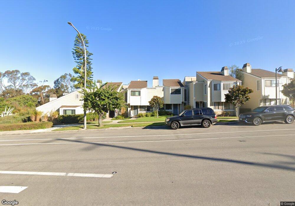
16 Latitude Ct Unit 19 Newport Beach, CA 92663
Westside Costa Mesa NeighborhoodEstimated Value: $846,589 - $899,000
3
Beds
3
Baths
1,129
Sq Ft
$781/Sq Ft
Est. Value
About This Home
This home is located at 16 Latitude Ct Unit 19, Newport Beach, CA 92663 and is currently estimated at $881,897, approximately $781 per square foot. 16 Latitude Ct Unit 19 is a home located in Orange County with nearby schools including Victoria Elementary School, Charles W. Tewinkle Middle School, and Estancia High School.
Ownership History
Date
Name
Owned For
Owner Type
Purchase Details
Closed on
Dec 4, 2025
Sold by
Mccormick Maureen S
Bought by
Maureen Mccormick Revocable Trust and Mccormick
Current Estimated Value
Purchase Details
Closed on
Dec 5, 2001
Sold by
Matheis Paul D and Matheis Carol
Bought by
Mccormick Maureen S
Home Financials for this Owner
Home Financials are based on the most recent Mortgage that was taken out on this home.
Original Mortgage
$186,500
Interest Rate
6.39%
Purchase Details
Closed on
Sep 25, 1998
Sold by
John Heaton and John Angela
Bought by
Matheis Paul D and Matheis Carol
Home Financials for this Owner
Home Financials are based on the most recent Mortgage that was taken out on this home.
Original Mortgage
$109,900
Interest Rate
6.6%
Purchase Details
Closed on
Sep 23, 1994
Sold by
Resolution Trust Corp
Bought by
Federal Home Loan Mortgage Corporation
Home Financials for this Owner
Home Financials are based on the most recent Mortgage that was taken out on this home.
Original Mortgage
$128,200
Interest Rate
8.58%
Mortgage Type
FHA
Purchase Details
Closed on
Sep 7, 1994
Sold by
Heaton Marjorie
Bought by
Heaton William T
Home Financials for this Owner
Home Financials are based on the most recent Mortgage that was taken out on this home.
Original Mortgage
$128,200
Interest Rate
8.58%
Mortgage Type
FHA
Purchase Details
Closed on
Sep 6, 1994
Sold by
Federal Home Loan Mortgage Corporation
Bought by
Heaton John A and Heaton Angela M
Home Financials for this Owner
Home Financials are based on the most recent Mortgage that was taken out on this home.
Original Mortgage
$128,200
Interest Rate
8.58%
Mortgage Type
FHA
Purchase Details
Closed on
Jun 16, 1994
Sold by
Lender Service Bureau
Bought by
Resolution Trust Corp
Create a Home Valuation Report for This Property
The Home Valuation Report is an in-depth analysis detailing your home's value as well as a comparison with similar homes in the area
Home Values in the Area
Average Home Value in this Area
Purchase History
| Date | Buyer | Sale Price | Title Company |
|---|---|---|---|
| Maureen Mccormick Revocable Trust | -- | None Listed On Document | |
| Mccormick Maureen S | $235,000 | Fidelity National Title Ins | |
| Matheis Paul D | $157,000 | Fidelity National Title Ins | |
| Federal Home Loan Mortgage Corporation | -- | Gateway Title Company | |
| Heaton William T | -- | Gateway Title Company | |
| Heaton John A | $132,500 | Gateway Title Company | |
| Resolution Trust Corp | $125,067 | -- |
Source: Public Records
Mortgage History
| Date | Status | Borrower | Loan Amount |
|---|---|---|---|
| Previous Owner | Mccormick Maureen S | $186,500 | |
| Previous Owner | Matheis Paul D | $109,900 | |
| Previous Owner | Heaton John A | $128,200 |
Source: Public Records
Tax History Compared to Growth
Tax History
| Year | Tax Paid | Tax Assessment Tax Assessment Total Assessment is a certain percentage of the fair market value that is determined by local assessors to be the total taxable value of land and additions on the property. | Land | Improvement |
|---|---|---|---|---|
| 2025 | $4,068 | $347,157 | $251,932 | $95,225 |
| 2024 | $4,068 | $340,350 | $246,992 | $93,358 |
| 2023 | $4,089 | $333,677 | $242,149 | $91,528 |
| 2022 | $3,938 | $327,135 | $237,401 | $89,734 |
| 2021 | $3,661 | $320,721 | $232,746 | $87,975 |
| 2020 | $3,624 | $317,433 | $230,360 | $87,073 |
| 2019 | $3,554 | $311,209 | $225,843 | $85,366 |
| 2018 | $3,484 | $305,107 | $221,414 | $83,693 |
| 2017 | $3,423 | $299,125 | $217,073 | $82,052 |
| 2016 | $3,348 | $293,260 | $212,816 | $80,444 |
| 2015 | $3,313 | $288,855 | $209,619 | $79,236 |
| 2014 | $3,235 | $283,197 | $205,513 | $77,684 |
Source: Public Records
Map
Nearby Homes
- 5 Sand Dollar Ct Unit 16
- 1845 Monrovia Ave Unit 9
- 1845 Monrovia Ave Unit 24
- 1845 Monrovia Ave Unit 47
- 2023 Republic Ave
- 1789 Nantucket Place
- 1750 Whittier Ave Unit 27
- 1750 Whittier Ave Unit 63
- 960 Union Ave
- 1170 Gleneagles Terrace
- 1269 Westreef
- 903 W 17th St Unit 96
- 903 W 17th St Unit 26
- 903 W 17th St Unit 24
- 1925 Wallace Ave
- 1022 Bridgewater Way
- 2230 Canyon Dr
- 2245 State Ave
- 1711 1719 Pomona Ave
- 810 Congress St
- 21 Seamist Ct Unit 27
- 11 Seamist Ct
- 21 Latitude Ct Unit 15
- 7 Sundance Dr Unit 40
- 4 Sandflower Ct Unit 51
- 12 Latitude Ct Unit 21
- 11 Seamist Ct Unit 31
- 14 Sandflower Ct Unit 46
- 1 Sundance Dr Unit 37
- 1 Seamist Ct Unit 36
- 19 Seamist Ct Unit 28
- 7 Seamist Ct Unit 33
- 8 Sandflower Ct Unit 49
- 12 Latitude Ct
- 20 Latitude Ct Unit 17
- 11 Sundance Dr Unit 42
- 4 Sandflower Ct
- 3 Latitude Ct Unit 7
- 17 Seamist Ct Unit 29
- 7 Sundance Dr