16 Maple Dr Middleton, NH 03887
Estimated Value: $312,848 - $467,000
3
Beds
1
Bath
967
Sq Ft
$382/Sq Ft
Est. Value
About This Home
This home is located at 16 Maple Dr, Middleton, NH 03887 and is currently estimated at $369,212, approximately $381 per square foot. 16 Maple Dr is a home located in Strafford County with nearby schools including Valley View Community School, Henry Wilson Memorial School, and Farmington Senior High School.
Ownership History
Date
Name
Owned For
Owner Type
Purchase Details
Closed on
Jul 3, 2000
Sold by
Morris Paul R
Bought by
Bartlett John and Bartlett Christine
Current Estimated Value
Home Financials for this Owner
Home Financials are based on the most recent Mortgage that was taken out on this home.
Original Mortgage
$41,600
Outstanding Balance
$14,403
Interest Rate
8.59%
Estimated Equity
$354,809
Create a Home Valuation Report for This Property
The Home Valuation Report is an in-depth analysis detailing your home's value as well as a comparison with similar homes in the area
Home Values in the Area
Average Home Value in this Area
Purchase History
| Date | Buyer | Sale Price | Title Company |
|---|---|---|---|
| Bartlett John | $52,000 | -- |
Source: Public Records
Mortgage History
| Date | Status | Borrower | Loan Amount |
|---|---|---|---|
| Open | Bartlett John | $41,600 |
Source: Public Records
Tax History
| Year | Tax Paid | Tax Assessment Tax Assessment Total Assessment is a certain percentage of the fair market value that is determined by local assessors to be the total taxable value of land and additions on the property. | Land | Improvement |
|---|---|---|---|---|
| 2025 | $4,041 | $255,900 | $156,700 | $99,200 |
| 2024 | $3,977 | $255,900 | $156,700 | $99,200 |
| 2023 | $3,849 | $255,900 | $156,700 | $99,200 |
| 2022 | $3,386 | $129,800 | $60,100 | $69,700 |
| 2021 | $3,564 | $129,800 | $60,100 | $69,700 |
| 2020 | $3,669 | $129,800 | $60,100 | $69,700 |
| 2019 | $3,411 | $129,800 | $60,100 | $69,700 |
| 2018 | $3,633 | $129,800 | $60,100 | $69,700 |
| 2017 | $3,129 | $116,100 | $56,300 | $59,800 |
| 2016 | $4,198 | $116,100 | $56,300 | $59,800 |
| 2015 | $3,326 | $116,100 | $56,300 | $59,800 |
| 2014 | $2,923 | $116,100 | $56,300 | $59,800 |
| 2013 | $2,740 | $116,100 | $56,300 | $59,800 |
Source: Public Records
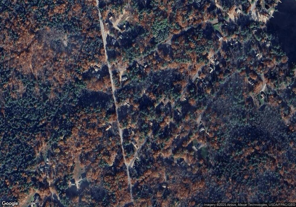
Map
Nearby Homes
- 31 Lake Shore Dr
- 42 Lakeshore Dr
- Lot 330 Nicola Rd
- 130 Nicola Rd
- 115 Lakeshore Dr
- 29 Birch Rd
- 31 Pine Rd
- 288 Pinkham Rd
- 123 Pinkham Rd
- 0 Pinkham Rd Unit Map 8 Lot 6-4
- 57 Pinkham Rd
- 0 Fox Rd Unit 5010590
- 50 Kings Hwy
- 10 New Durham Rd
- 164 18 3 Mason Rd
- 90 Old Bay Rd
- 171 Old Bay Rd
- 164 Mason Rd
- 92 Milton Rd
- 46-2 & 47 New Hampshire 153
- 23 Lakeshore Dr
- Lot 26 Maple Rd
- 17 Lakeshore Dr
- 25 Lakeshore Dr
- 0 Lot 246 Maple Rd
- 0 Sunrise Dr
- 26 Lakeshore Dr
- 3 Maple Rd
- 127 Silver St
- 18 Lakeshore Dr
- 249 Lake Shore Dr
- 4 Sunrise Dr
- 0&0L Silver St
- 14 Sunrise Dr
- 4 Sunrise Dr
- Lot 249 Lake Shore Dr
- 29 Nicola Rd
- 16 Lakeshore Dr
- 11 Lakeshore Dr
- 18 Sunrise Dr
Your Personal Tour Guide
Ask me questions while you tour the home.