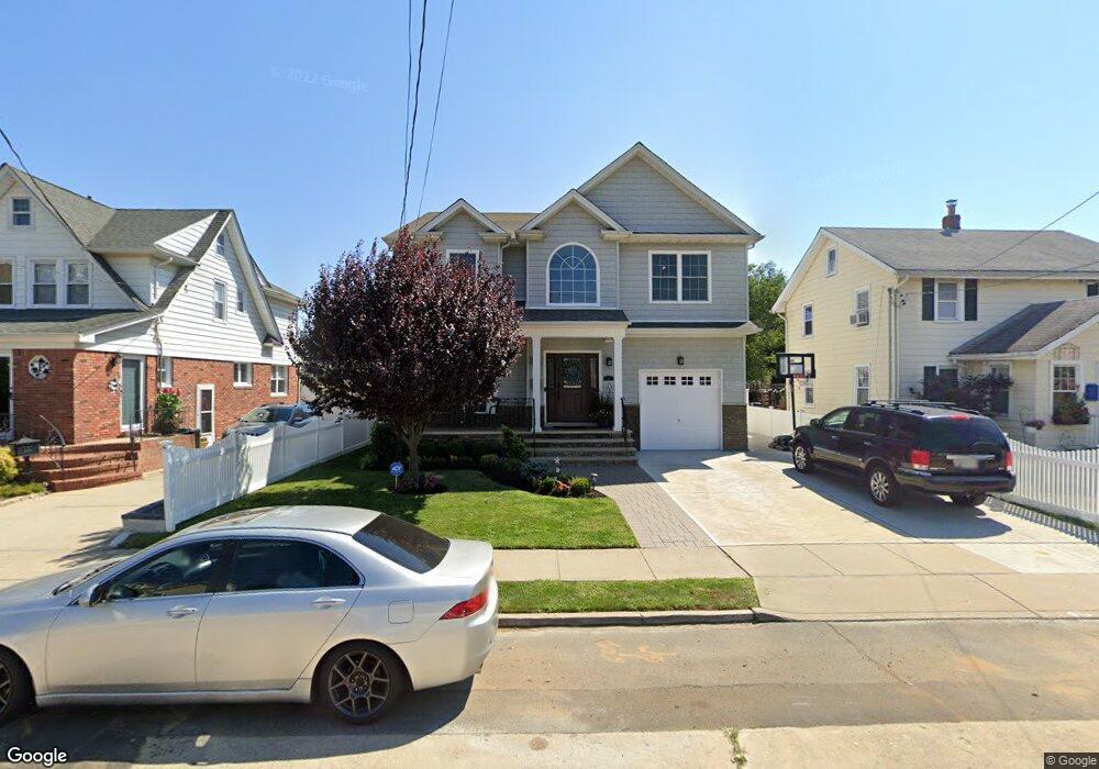
16 Marshall Ave Lynbrook, NY 11563
Estimated Value: $1,051,000 - $1,118,041
4
Beds
3
Baths
2,894
Sq Ft
$375/Sq Ft
Est. Value
About This Home
This home is located at 16 Marshall Ave, Lynbrook, NY 11563 and is currently estimated at $1,084,521, approximately $374 per square foot. 16 Marshall Ave is a home located in Nassau County with nearby schools including Lynbrook Senior High School, Our Lady Of Peace School, and Holy Name of Mary School.
Ownership History
Date
Name
Owned For
Owner Type
Purchase Details
Closed on
Apr 25, 2011
Sold by
Slam Real Estate Llc
Bought by
Inserra Michael and Inserra Cheryl
Current Estimated Value
Home Financials for this Owner
Home Financials are based on the most recent Mortgage that was taken out on this home.
Original Mortgage
$400,000
Outstanding Balance
$276,994
Interest Rate
4.88%
Mortgage Type
Purchase Money Mortgage
Estimated Equity
$807,527
Purchase Details
Closed on
Nov 24, 2009
Sold by
Cunningham Joseph G and Cunningham Catherine T
Bought by
Slam Real Estate Llc
Create a Home Valuation Report for This Property
The Home Valuation Report is an in-depth analysis detailing your home's value as well as a comparison with similar homes in the area
Home Values in the Area
Average Home Value in this Area
Purchase History
| Date | Buyer | Sale Price | Title Company |
|---|---|---|---|
| Inserra Michael | $615,000 | -- | |
| Slam Real Estate Llc | $179,000 | -- |
Source: Public Records
Mortgage History
| Date | Status | Borrower | Loan Amount |
|---|---|---|---|
| Open | Inserra Michael | $400,000 |
Source: Public Records
Tax History Compared to Growth
Tax History
| Year | Tax Paid | Tax Assessment Tax Assessment Total Assessment is a certain percentage of the fair market value that is determined by local assessors to be the total taxable value of land and additions on the property. | Land | Improvement |
|---|---|---|---|---|
| 2025 | $14,872 | $690 | $184 | $506 |
| 2024 | $1,387 | $677 | $181 | $496 |
| 2023 | $11,932 | $702 | $188 | $514 |
| 2022 | $11,932 | $715 | $191 | $524 |
| 2021 | $15,911 | $755 | $186 | $569 |
| 2020 | $11,058 | $861 | $470 | $391 |
| 2019 | $11,810 | $922 | $471 | $451 |
| 2018 | $11,695 | $984 | $0 | $0 |
| 2017 | $10,276 | $1,045 | $475 | $570 |
| 2016 | $11,786 | $1,107 | $453 | $654 |
| 2015 | $1,734 | $1,168 | $428 | $740 |
| 2014 | $1,734 | $1,168 | $428 | $740 |
| 2013 | $1,676 | $1,230 | $451 | $779 |
Source: Public Records
Map
Nearby Homes
- 33 Marshall Ave
- 11 Wood St
- 25 Concord St
- 21 Clark Ave
- 67 Burtis St
- 47 Wood St
- 59 Wood St
- 504 Merrick Rd Unit 2k
- 504 Merrick Rd Unit 4J
- 504 Merrick Rd Unit 4A
- 504 Merrick Rd Unit 4E
- 192 Sherman St
- 241 Hendrickson Ave
- 15 Leach St
- 61 Harvard Ave
- 10 Leach St
- 95 Foster Ave
- 230 E New York Ave
- 43 Nieman Ave
- 12 Roxy Place
- 18 Marshall Ave
- 10 Marshall Ave
- 22 Marshall Ave
- 21 Wilson Ave
- 6 Marshall Ave
- 25 Wilson Ave
- 17 Wilson Ave
- 29 Wilson Ave
- 15 Wilson Ave
- 296 Sherman St
- 19 Marshall Ave
- 11 Marshall Ave
- 15 Marshall Ave
- 11 Wilson Ave
- 11 Wilson Ave Unit 4359
- 33 Wilson Ave
- 601 Merrick Rd
- 21 Marshall Ave
- 23 Marshall Ave
- 22 Wilson Ave