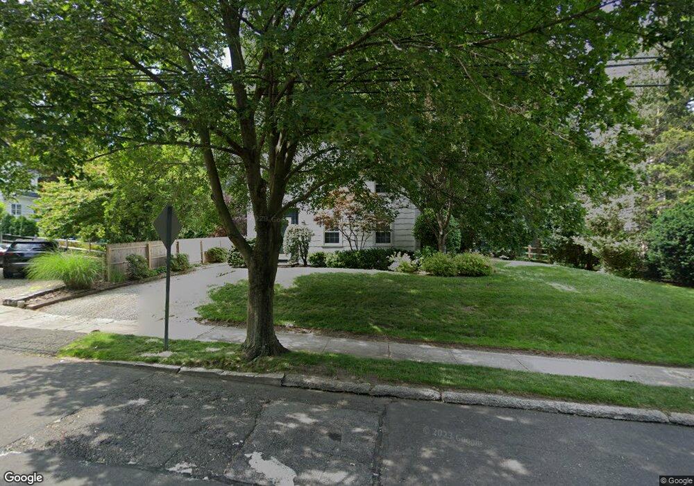
16 Merrill Rd Norwalk, CT 06851
Wolfpit NeighborhoodEstimated Value: $703,000 - $849,000
3
Beds
2
Baths
2,016
Sq Ft
$385/Sq Ft
Est. Value
About This Home
This home is located at 16 Merrill Rd, Norwalk, CT 06851 and is currently estimated at $775,198, approximately $384 per square foot. 16 Merrill Rd is a home located in Fairfield County with nearby schools including Tracey School, West Rocks Middle School, and Norwalk High School.
Ownership History
Date
Name
Owned For
Owner Type
Purchase Details
Closed on
Feb 28, 1992
Sold by
Szpila Walter
Bought by
Smith Kevin and Ball Catherine
Current Estimated Value
Home Financials for this Owner
Home Financials are based on the most recent Mortgage that was taken out on this home.
Original Mortgage
$187,500
Interest Rate
8.38%
Mortgage Type
Purchase Money Mortgage
Purchase Details
Closed on
Jul 10, 1987
Sold by
Horton Pearl
Bought by
Szpila Susan
Create a Home Valuation Report for This Property
The Home Valuation Report is an in-depth analysis detailing your home's value as well as a comparison with similar homes in the area
Home Values in the Area
Average Home Value in this Area
Purchase History
| Date | Buyer | Sale Price | Title Company |
|---|---|---|---|
| Smith Kevin | $237,500 | -- | |
| Szpila Susan | $254,000 | -- |
Source: Public Records
Mortgage History
| Date | Status | Borrower | Loan Amount |
|---|---|---|---|
| Open | Szpila Susan | $121,270 | |
| Closed | Szpila Susan | $132,114 | |
| Closed | Szpila Susan | $190,000 | |
| Closed | Szpila Susan | $187,500 |
Source: Public Records
Tax History Compared to Growth
Tax History
| Year | Tax Paid | Tax Assessment Tax Assessment Total Assessment is a certain percentage of the fair market value that is determined by local assessors to be the total taxable value of land and additions on the property. | Land | Improvement |
|---|---|---|---|---|
| 2025 | $9,368 | $391,230 | $181,660 | $209,570 |
| 2024 | $9,230 | $391,230 | $181,660 | $209,570 |
| 2023 | $7,331 | $291,350 | $147,320 | $144,030 |
| 2022 | $7,194 | $291,350 | $147,320 | $144,030 |
| 2021 | $7,007 | $291,350 | $147,320 | $144,030 |
| 2020 | $7,003 | $291,350 | $147,320 | $144,030 |
| 2019 | $6,807 | $291,350 | $147,320 | $144,030 |
| 2018 | $7,255 | $272,110 | $167,580 | $104,530 |
| 2017 | $7,006 | $272,110 | $167,580 | $104,530 |
| 2016 | $6,939 | $272,110 | $167,580 | $104,530 |
| 2015 | $6,920 | $272,110 | $167,580 | $104,530 |
| 2014 | $6,830 | $272,110 | $167,580 | $104,530 |
Source: Public Records
Map
Nearby Homes
- 12 Merrill Rd
- 15 Dry Hill Rd
- 24 Sawmill Rd
- 44 Ambler Dr
- 14 E Rocks Rd
- 71 Saddle Rd
- 49 Barbara Dr
- 2 Clearview Ave
- 9 Park St Unit 217
- 65 Wolfpit Ave Unit 5C
- 42 County St
- 1 Blue Mountain Ridge
- 11 Mark Dr
- 360 Westport Ave Unit 1
- 16 Katy Ln
- 29 Saddle Rd
- 31 High St Unit 4-2B
- 77 Walter Ave
- 341 Strawberry Hill Ave
- 33 Assisi Way