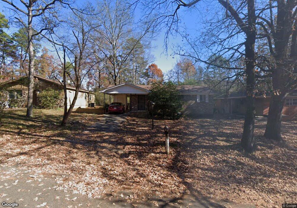
16 Michael Dr Little Rock, AR 72204
John Barrow NeighborhoodEstimated Value: $74,000 - $109,000
3
Beds
1
Bath
925
Sq Ft
$101/Sq Ft
Est. Value
About This Home
This home is located at 16 Michael Dr, Little Rock, AR 72204 and is currently estimated at $93,662, approximately $101 per square foot. 16 Michael Dr is a home located in Pulaski County with nearby schools including Brady Elementary School, J.A. Fair K8 Preparatory School, and Henderson Middle School.
Ownership History
Date
Name
Owned For
Owner Type
Purchase Details
Closed on
Mar 23, 2010
Sold by
Strong Lee E and Strong Anneice E
Bought by
Okoli Franklin T
Current Estimated Value
Home Financials for this Owner
Home Financials are based on the most recent Mortgage that was taken out on this home.
Original Mortgage
$44,159
Interest Rate
4.37%
Mortgage Type
FHA
Purchase Details
Closed on
Aug 17, 1999
Sold by
Bardin Jackie L and Bardin Rita
Bought by
Strong Lee E and Strong Anniece E
Home Financials for this Owner
Home Financials are based on the most recent Mortgage that was taken out on this home.
Original Mortgage
$23,238
Interest Rate
7.68%
Mortgage Type
Purchase Money Mortgage
Create a Home Valuation Report for This Property
The Home Valuation Report is an in-depth analysis detailing your home's value as well as a comparison with similar homes in the area
Home Values in the Area
Average Home Value in this Area
Purchase History
| Date | Buyer | Sale Price | Title Company |
|---|---|---|---|
| Okoli Franklin T | $45,000 | American Abstract & Title Co | |
| Strong Lee E | $29,000 | First National Title Company |
Source: Public Records
Mortgage History
| Date | Status | Borrower | Loan Amount |
|---|---|---|---|
| Closed | Okoli Franklin T | $44,159 | |
| Previous Owner | Strong Lee E | $23,238 |
Source: Public Records
Tax History Compared to Growth
Tax History
| Year | Tax Paid | Tax Assessment Tax Assessment Total Assessment is a certain percentage of the fair market value that is determined by local assessors to be the total taxable value of land and additions on the property. | Land | Improvement |
|---|---|---|---|---|
| 2025 | $704 | $13,626 | $2,800 | $10,826 |
| 2024 | $645 | $13,626 | $2,800 | $10,826 |
| 2023 | $645 | $13,626 | $2,800 | $10,826 |
| 2022 | $615 | $13,626 | $2,800 | $10,826 |
| 2021 | $590 | $8,370 | $900 | $7,470 |
| 2020 | $211 | $8,370 | $900 | $7,470 |
| 2019 | $211 | $8,370 | $900 | $7,470 |
| 2018 | $236 | $8,370 | $900 | $7,470 |
| 2017 | $236 | $8,370 | $900 | $7,470 |
| 2016 | $432 | $11,170 | $2,700 | $8,470 |
| 2015 | $783 | $11,170 | $2,700 | $8,470 |
| 2014 | $783 | $10,785 | $2,700 | $8,085 |
Source: Public Records
Map
Nearby Homes
- Lot 9 Kanis Oaks Dr
- Lot 8 Kanis Oaks Dr
- 0000 Kanis Pines Dr
- Lot 42R Kanis Pines Dr
- Lot 39R Kanis Pines Dr
- 7921 Kanis Oaks Dr
- 8001 Kanis Pines Dr
- 1622 Village Lake Dr
- 1710 Village Lake Dr
- 1625 Village Lake Dr
- 8815 Cloverhill Rd
- 1800 Labette Manor Dr
- 12600 Kanis Rd
- 1813 Lynette Dr
- 1900 Labette Manor Dr
- 8300 W 23rd St
- 409 Sunnymeade Dr
- 705 Legato Dr
- 7800 Choctaw Rd
- 8806 Mayflower Rd