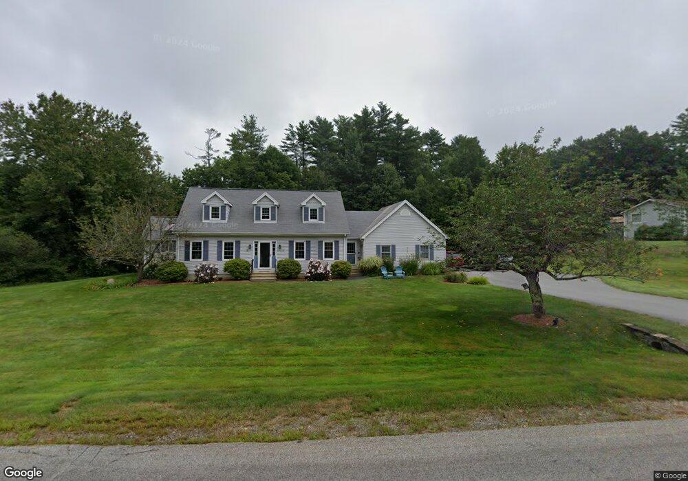
16 Moulton Ave Greenland, NH 03840
Estimated Value: $768,431 - $795,000
3
Beds
3
Baths
1,664
Sq Ft
$469/Sq Ft
Est. Value
About This Home
This home is located at 16 Moulton Ave, Greenland, NH 03840 and is currently estimated at $781,108, approximately $469 per square foot. 16 Moulton Ave is a home located in Rockingham County with nearby schools including Greenland Central School, Rye Country Day School, and Acorn School.
Ownership History
Date
Name
Owned For
Owner Type
Purchase Details
Closed on
Jul 31, 2024
Sold by
Griffin Archibald and Griffin Gail
Bought by
Griffin Ft and Griffin
Current Estimated Value
Purchase Details
Closed on
Nov 26, 2014
Sold by
Griffin Archibald and Blasdale Gail
Bought by
Griffin Archibald and Blasdale Gail
Purchase Details
Closed on
Oct 29, 1998
Sold by
Powers Martha E
Bought by
Griffin Archibald E and Griffin Brenda J
Create a Home Valuation Report for This Property
The Home Valuation Report is an in-depth analysis detailing your home's value as well as a comparison with similar homes in the area
Home Values in the Area
Average Home Value in this Area
Purchase History
| Date | Buyer | Sale Price | Title Company |
|---|---|---|---|
| Griffin Ft | -- | None Available | |
| Griffin Ft | -- | None Available | |
| Griffin Archibald | -- | -- | |
| Griffin Archibald E | $208,000 | -- | |
| Griffin Archibald | -- | -- | |
| Griffin Archibald E | $208,000 | -- |
Source: Public Records
Mortgage History
| Date | Status | Borrower | Loan Amount |
|---|---|---|---|
| Previous Owner | Griffin Archibald E | $339,758 | |
| Previous Owner | Griffin Archibald E | $339,276 |
Source: Public Records
Tax History Compared to Growth
Tax History
| Year | Tax Paid | Tax Assessment Tax Assessment Total Assessment is a certain percentage of the fair market value that is determined by local assessors to be the total taxable value of land and additions on the property. | Land | Improvement |
|---|---|---|---|---|
| 2024 | $8,972 | $690,700 | $374,400 | $316,300 |
| 2023 | $8,475 | $690,700 | $374,400 | $316,300 |
| 2022 | $7,372 | $407,500 | $208,200 | $199,300 |
| 2021 | $7,628 | $407,500 | $208,200 | $199,300 |
| 2020 | $6,756 | $407,500 | $208,200 | $199,300 |
| 2019 | $6,681 | $407,400 | $208,200 | $199,200 |
| 2018 | $6,433 | $407,400 | $208,200 | $199,200 |
| 2017 | $5,440 | $326,900 | $153,000 | $173,900 |
| 2016 | $5,443 | $326,900 | $153,000 | $173,900 |
| 2015 | $5,528 | $326,900 | $153,000 | $173,900 |
| 2014 | $5,204 | $326,900 | $153,000 | $173,900 |
| 2013 | $5,067 | $326,900 | $153,000 | $173,900 |
Source: Public Records
Map
Nearby Homes
- 4 Brown Ave
- 12 Founders Square Unit A
- Unit 25 Summerwind Place Unit 25
- 40 Maple Dr Unit A
- Unit 1 Summerwind Place Unit 1
- Unit 3 Summerwind Place Unit 3
- Unit 6 Summerwind Place Unit 6
- Unit 15 Summerwind Place Unit 15
- Unit 31 Summerwind Place Unit 31
- 64 Boxwood Path Unit 64
- 638 Post Rd
- 21 Falls Way
- 603 Portsmouth Ave Unit 203
- 603 Portsmouth Ave Unit 202
- Unit 26 Summerwind Place Unit 26
- 326 Portsmouth Ave
- 14 Balmoral Dr
- 445 Ocean Rd Unit 4
- 26 Thompson Way Unit 22
- 31 Thompson Way