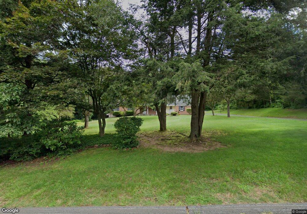
16 Oakhurst Rd Simsbury, CT 06070
Estimated Value: $579,000 - $689,000
3
Beds
2
Baths
2,689
Sq Ft
$232/Sq Ft
Est. Value
About This Home
This home is located at 16 Oakhurst Rd, Simsbury, CT 06070 and is currently estimated at $623,056, approximately $231 per square foot. 16 Oakhurst Rd is a home located in Hartford County with nearby schools including Latimer Lane School, Henry James Memorial School, and Simsbury High School.
Ownership History
Date
Name
Owned For
Owner Type
Purchase Details
Closed on
Aug 16, 2005
Sold by
Davis Allan P and Davis Annette M
Bought by
Stsauveur Mark N
Current Estimated Value
Purchase Details
Closed on
Feb 21, 2003
Sold by
Washer Thomas M and Washer Carla R
Bought by
Davis Allan P
Purchase Details
Closed on
Jan 16, 1998
Sold by
Seaton Audrey
Bought by
Washer Thomas
Create a Home Valuation Report for This Property
The Home Valuation Report is an in-depth analysis detailing your home's value as well as a comparison with similar homes in the area
Home Values in the Area
Average Home Value in this Area
Purchase History
| Date | Buyer | Sale Price | Title Company |
|---|---|---|---|
| Stsauveur Mark N | $385,000 | -- | |
| Davis Allan P | $330,000 | -- | |
| Washer Thomas | $222,500 | -- |
Source: Public Records
Mortgage History
| Date | Status | Borrower | Loan Amount |
|---|---|---|---|
| Open | Washer Thomas | $252,550 | |
| Closed | Washer Thomas | $50,000 | |
| Closed | Washer Thomas | $25,000 |
Source: Public Records
Tax History Compared to Growth
Tax History
| Year | Tax Paid | Tax Assessment Tax Assessment Total Assessment is a certain percentage of the fair market value that is determined by local assessors to be the total taxable value of land and additions on the property. | Land | Improvement |
|---|---|---|---|---|
| 2025 | $10,598 | $310,240 | $84,350 | $225,890 |
| 2024 | $10,334 | $310,240 | $84,350 | $225,890 |
| 2023 | $9,872 | $310,240 | $84,350 | $225,890 |
| 2022 | $9,585 | $248,120 | $91,310 | $156,810 |
| 2021 | $9,585 | $248,120 | $91,310 | $156,810 |
| 2020 | $9,203 | $248,120 | $91,310 | $156,810 |
| 2019 | $9,260 | $248,120 | $91,310 | $156,810 |
| 2018 | $9,327 | $248,120 | $91,310 | $156,810 |
| 2017 | $8,609 | $222,110 | $91,320 | $130,790 |
| 2016 | $8,245 | $222,110 | $91,320 | $130,790 |
| 2015 | $8,245 | $222,110 | $91,320 | $130,790 |
| 2014 | $8,249 | $222,110 | $91,320 | $130,790 |
Source: Public Records
Map
Nearby Homes
- 301 Bushy Hill Rd
- 302 Bushy Hill Rd
- 395 Bushy Hill Rd
- 51 Pine Glen Rd
- 19 Glenbrook Dr
- 8 Crane Place
- 24 Drumlin Rd
- 3 Minister Brook Dr
- 10 Sachems Trail
- 26 Red Stone Dr
- 1 Alcima Dr
- 370A W Mountain Rd
- 4 Adams Rd
- 14 Nod Brook Dr
- 121 Gracey Rd
- 36 Blue Ridge Dr
- 25 Tall Wood Hollow
- 120 Climax Rd
- 18 Meadowlark Rd
- 1 Ashton Cir
- 12 Oakhurst Rd
- 18 Oakhurst Rd
- 15 Oakhurst Rd
- 25 Woodhaven Dr
- 23 Woodhaven Dr
- 8 Oakhurst Rd
- 27 Woodhaven Dr
- 21 Woodhaven Dr
- 20 Oakhurst Rd
- 9 Oakhurst Rd
- 19 Woodhaven Dr
- 29 Woodhaven Dr
- 17 Oakhurst Rd
- 17 Woodhaven Dr
- 22 Oakhurst Rd
- 4 Oakhurst Rd
- 24 Woodhaven Dr
- 22 Woodhaven Dr
- 20 Woodhaven Dr
- 31 Woodhaven Dr