16 Parson Ln Nantucket, MA 02554
Estimated Value: $2,815,000 - $3,892,913
3
Beds
3
Baths
2,000
Sq Ft
$1,716/Sq Ft
Est. Value
About This Home
This home is located at 16 Parson Ln, Nantucket, MA 02554 and is currently estimated at $3,431,228, approximately $1,715 per square foot. 16 Parson Ln is a home with nearby schools including Nantucket Elementary School, Cyrus Peirce Middle School, and Nantucket High School.
Ownership History
Date
Name
Owned For
Owner Type
Purchase Details
Closed on
Feb 26, 2020
Sold by
Mcdonald Donald C and Dean Donna C
Bought by
Nantucket Sanctuary Llc
Current Estimated Value
Create a Home Valuation Report for This Property
The Home Valuation Report is an in-depth analysis detailing your home's value as well as a comparison with similar homes in the area
Home Values in the Area
Average Home Value in this Area
Purchase History
| Date | Buyer | Sale Price | Title Company |
|---|---|---|---|
| Nantucket Sanctuary Llc | -- | None Available | |
| Mcdonald Donald C | -- | None Available | |
| Nantucket Sanctuary Llc | -- | None Available |
Source: Public Records
Tax History
| Year | Tax Paid | Tax Assessment Tax Assessment Total Assessment is a certain percentage of the fair market value that is determined by local assessors to be the total taxable value of land and additions on the property. | Land | Improvement |
|---|---|---|---|---|
| 2025 | $7,023 | $2,141,300 | $1,300,900 | $840,400 |
| 2024 | $6,621 | $2,115,300 | $1,300,900 | $814,400 |
| 2023 | $6,045 | $1,883,300 | $1,242,400 | $640,900 |
| 2022 | $6,114 | $1,634,800 | $1,098,000 | $536,800 |
| 2021 | $5,887 | $1,621,700 | $1,098,000 | $523,700 |
| 2020 | $4,873 | $1,412,500 | $888,800 | $523,700 |
| 2019 | $4,657 | $1,386,000 | $862,300 | $523,700 |
| 2018 | $2,554 | $1,255,900 | $862,300 | $393,600 |
| 2017 | $4,129 | $1,218,000 | $824,400 | $393,600 |
| 2016 | $3,624 | $1,078,700 | $697,600 | $381,100 |
| 2015 | $3,707 | $1,026,800 | $645,700 | $381,100 |
| 2014 | $3,861 | $1,026,800 | $645,700 | $381,100 |
Source: Public Records
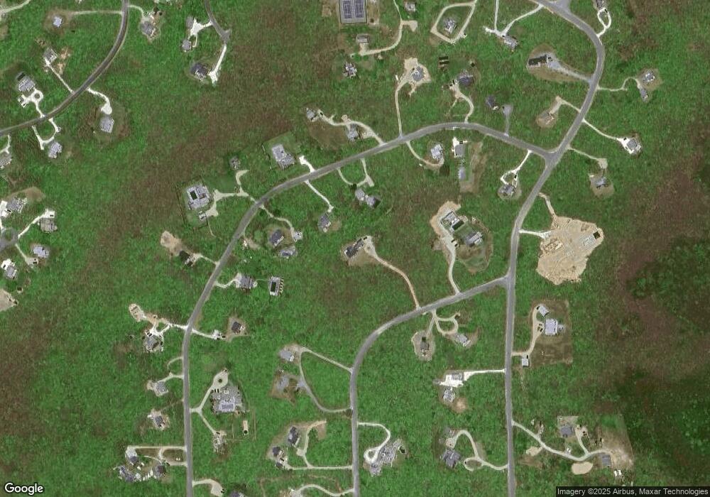
Map
Nearby Homes
- 27 Flintlock Rd
- 23 Flintlock Rd
- 28 Flintlock Rd
- 18 Parson Ln
- 21 Flintlock Rd
- 32 Flintlock Rd
- 33 Flintlock Rd
- 13 Parson Ln
- 19 Flintlock Rd
- 35 Flintlock Rd
- 39 Flintlock Rd
- 22 Flintlock Rd
- 17 Chuck Hollow Rd
- 34 Flintlock Rd
- 32 Chuck Hollow Rd
- 38 Flintlock Rd
- 36 Flintlock Rd
- 9 Parson Ln
- 34 Chuck Hollow Rd
- 18 Flintlock Rd
Your Personal Tour Guide
Ask me questions while you tour the home.