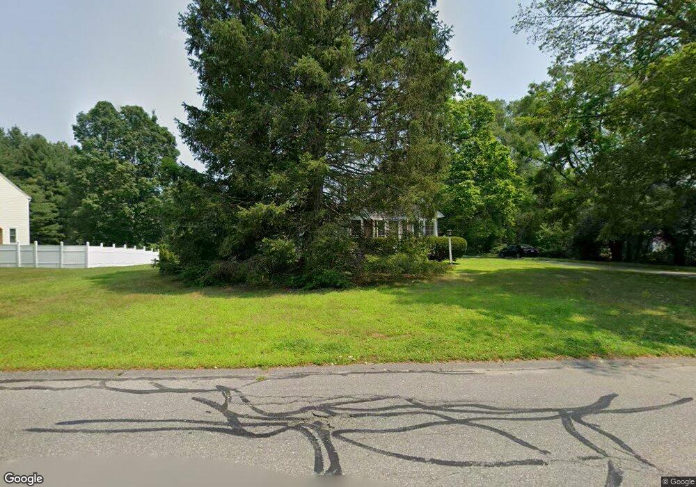
16 Porter Rd Littleton, MA 01460
Estimated Value: $543,000 - $787,000
3
Beds
3
Baths
1,229
Sq Ft
$519/Sq Ft
Est. Value
About This Home
This home is located at 16 Porter Rd, Littleton, MA 01460 and is currently estimated at $638,401, approximately $519 per square foot. 16 Porter Rd is a home located in Middlesex County with nearby schools including Shaker Lane Elementary School, Russell Street Elementary School, and Littleton Middle School.
Ownership History
Date
Name
Owned For
Owner Type
Purchase Details
Closed on
Jan 31, 1991
Sold by
Tobin Mary V and Moody Marjorie A
Bought by
Vokes Gregory N and Vokes Cynthia S
Current Estimated Value
Create a Home Valuation Report for This Property
The Home Valuation Report is an in-depth analysis detailing your home's value as well as a comparison with similar homes in the area
Purchase History
| Date | Buyer | Sale Price | Title Company |
|---|---|---|---|
| Vokes Gregory N | $125,000 | -- |
Source: Public Records
Mortgage History
| Date | Status | Borrower | Loan Amount |
|---|---|---|---|
| Open | Vokes Gregory N | $243,000 | |
| Closed | Vokes Gregory N | $91,000 | |
| Closed | Vokes Gregory N | $117,000 |
Source: Public Records
Tax History
| Year | Tax Paid | Tax Assessment Tax Assessment Total Assessment is a certain percentage of the fair market value that is determined by local assessors to be the total taxable value of land and additions on the property. | Land | Improvement |
|---|---|---|---|---|
| 2025 | $82 | $551,400 | $254,700 | $296,700 |
| 2024 | $7,966 | $536,800 | $246,100 | $290,700 |
| 2023 | $6,581 | $405,000 | $220,200 | $184,800 |
| 2022 | $6,530 | $368,700 | $211,500 | $157,200 |
| 2021 | $10,335 | $346,900 | $205,100 | $141,800 |
| 2020 | $9,919 | $337,400 | $193,400 | $144,000 |
| 2019 | $9,517 | $314,700 | $167,600 | $147,100 |
| 2018 | $5,603 | $308,900 | $167,600 | $141,300 |
| 2017 | $5,200 | $286,500 | $159,000 | $127,500 |
| 2016 | $5,033 | $284,500 | $159,000 | $125,500 |
| 2015 | $4,760 | $263,000 | $137,500 | $125,500 |
Source: Public Records
Map
Nearby Homes
- 119 Taylor St
- 11 Taylor St
- 11-15 Taylor St
- 5 Oak Ridge Rd
- 5 Kimball St
- 221 Whitcomb Ave
- 5 Patricia Way Unit 5
- 17 Chestnut Ln
- 10 Bulkeley Rd
- 7 Spruce St
- 0 Ayer Rd
- 36 Leonard Rd
- 17 Hartwell Ave
- 959 Hill Rd
- 239 Ayer Rd Unit 16
- 239 Ayer Rd Unit 60
- 239 Ayer Rd Unit 46
- 239 Ayer Rd Unit 30
- 78 Shaker Rd
- 62 Willow Rd
Your Personal Tour Guide
Ask me questions while you tour the home.