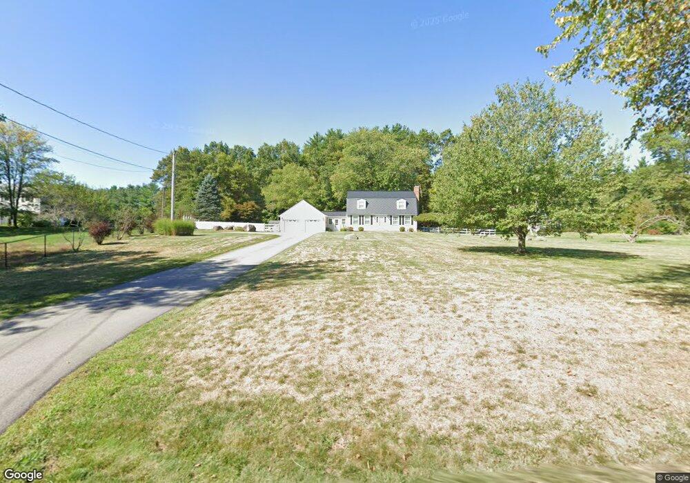
16 Ranger Rd Hollis, NH 03049
Hollis NeighborhoodEstimated Value: $652,846 - $848,000
3
Beds
2
Baths
2,040
Sq Ft
$349/Sq Ft
Est. Value
About This Home
This home is located at 16 Ranger Rd, Hollis, NH 03049 and is currently estimated at $712,962, approximately $349 per square foot. 16 Ranger Rd is a home located in Hillsborough County with nearby schools including Hollis Primary School, Hollis Upper Elementary School, and Hollis-Brookline Middle School.
Ownership History
Date
Name
Owned For
Owner Type
Purchase Details
Closed on
Nov 2, 2010
Sold by
Linton Dana S and Linton Tersia
Bought by
Smith Bradley A and Damico Jessica M
Current Estimated Value
Home Financials for this Owner
Home Financials are based on the most recent Mortgage that was taken out on this home.
Original Mortgage
$269,550
Outstanding Balance
$178,930
Interest Rate
4.39%
Mortgage Type
Purchase Money Mortgage
Estimated Equity
$534,032
Purchase Details
Closed on
Jul 24, 1997
Sold by
Barnett William O and Barnett Jean M
Bought by
Linton Dana S and Linton Tersia D
Home Financials for this Owner
Home Financials are based on the most recent Mortgage that was taken out on this home.
Original Mortgage
$130,000
Interest Rate
7.7%
Create a Home Valuation Report for This Property
The Home Valuation Report is an in-depth analysis detailing your home's value as well as a comparison with similar homes in the area
Home Values in the Area
Average Home Value in this Area
Purchase History
| Date | Buyer | Sale Price | Title Company |
|---|---|---|---|
| Smith Bradley A | $299,500 | -- | |
| Linton Dana S | $162,500 | -- |
Source: Public Records
Mortgage History
| Date | Status | Borrower | Loan Amount |
|---|---|---|---|
| Open | Linton Dana S | $269,550 | |
| Previous Owner | Linton Dana S | $130,000 |
Source: Public Records
Tax History Compared to Growth
Tax History
| Year | Tax Paid | Tax Assessment Tax Assessment Total Assessment is a certain percentage of the fair market value that is determined by local assessors to be the total taxable value of land and additions on the property. | Land | Improvement |
|---|---|---|---|---|
| 2024 | $8,915 | $502,800 | $251,800 | $251,000 |
| 2023 | $8,377 | $502,800 | $251,800 | $251,000 |
| 2022 | $11,348 | $502,800 | $251,800 | $251,000 |
| 2021 | $7,346 | $323,600 | $164,600 | $159,000 |
| 2020 | $6,984 | $323,600 | $164,600 | $159,000 |
| 2019 | $7,475 | $323,600 | $164,600 | $159,000 |
| 2018 | $6,743 | $323,600 | $164,600 | $159,000 |
| 2017 | $6,845 | $295,700 | $144,600 | $151,100 |
| 2016 | $6,928 | $295,700 | $144,600 | $151,100 |
| 2015 | $6,807 | $295,700 | $144,600 | $151,100 |
| 2014 | $6,840 | $295,700 | $144,600 | $151,100 |
| 2013 | $6,748 | $295,700 | $144,600 | $151,100 |
Source: Public Records
Map
Nearby Homes
- 334 Broad St
- 76 Bartemus Trail Unit U231
- 11 Bartemus Trail Unit 204
- 199 Pine Hill Rd
- 22 Cathedral Cir
- 3 Richmond St
- 20 Martha St
- 6 Cornwall Ln Unit 7
- 46 Scenic Dr
- 4 Nelson St
- 14 Parrish Hill Dr
- 27 Country Hill Rd Unit U90
- 5 Meghan Dr Unit U23
- 424 Broad St
- 4 Chesapeake Rd
- 5 Plainfield Ln
- 11 Rideout Rd
- 12 Spring Cove Rd Unit U103
- 40 Spring Cove Rd Unit U117
- 11 Inca Dr