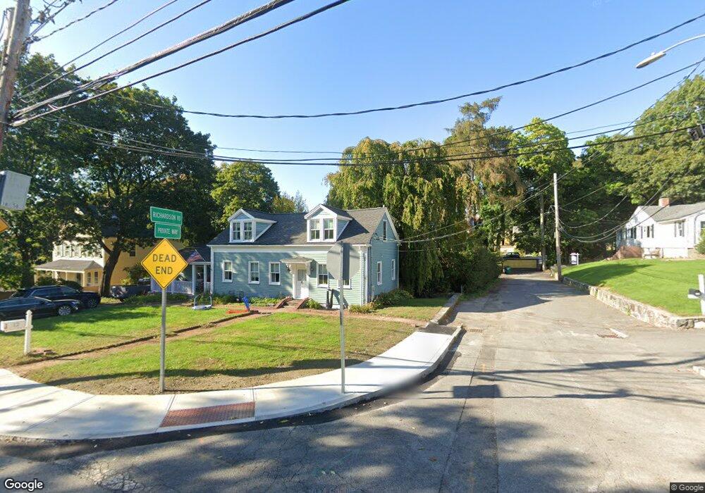
16 Richardson Rd Newton Upper Falls, MA 02464
Waban NeighborhoodEstimated Value: $905,000 - $1,062,648
2
Beds
3
Baths
1,400
Sq Ft
$703/Sq Ft
Est. Value
About This Home
This home is located at 16 Richardson Rd, Newton Upper Falls, MA 02464 and is currently estimated at $984,162, approximately $702 per square foot. 16 Richardson Rd is a home located in Middlesex County with nearby schools including Angier Elementary School, Charles E Brown Middle School, and Newton South High School.
Ownership History
Date
Name
Owned For
Owner Type
Purchase Details
Closed on
Jun 30, 1999
Sold by
Kimball Jeffrey A
Bought by
Blossom Stephen A
Current Estimated Value
Home Financials for this Owner
Home Financials are based on the most recent Mortgage that was taken out on this home.
Original Mortgage
$125,000
Outstanding Balance
$33,991
Interest Rate
7.19%
Mortgage Type
Purchase Money Mortgage
Estimated Equity
$950,171
Create a Home Valuation Report for This Property
The Home Valuation Report is an in-depth analysis detailing your home's value as well as a comparison with similar homes in the area
Home Values in the Area
Average Home Value in this Area
Purchase History
| Date | Buyer | Sale Price | Title Company |
|---|---|---|---|
| Blossom Stephen A | $205,000 | -- |
Source: Public Records
Mortgage History
| Date | Status | Borrower | Loan Amount |
|---|---|---|---|
| Open | Blossom Stephen A | $125,000 |
Source: Public Records
Tax History Compared to Growth
Tax History
| Year | Tax Paid | Tax Assessment Tax Assessment Total Assessment is a certain percentage of the fair market value that is determined by local assessors to be the total taxable value of land and additions on the property. | Land | Improvement |
|---|---|---|---|---|
| 2025 | $7,473 | $762,500 | $666,800 | $95,700 |
| 2024 | $7,225 | $740,300 | $647,400 | $92,900 |
| 2023 | $6,831 | $671,000 | $489,800 | $181,200 |
| 2022 | $6,536 | $621,300 | $453,500 | $167,800 |
| 2021 | $6,306 | $586,100 | $427,800 | $158,300 |
| 2020 | $6,119 | $586,100 | $427,800 | $158,300 |
| 2019 | $5,946 | $569,000 | $415,300 | $153,700 |
| 2018 | $5,661 | $523,200 | $376,200 | $147,000 |
| 2017 | $5,489 | $493,600 | $354,900 | $138,700 |
| 2016 | $5,250 | $461,300 | $331,700 | $129,600 |
| 2015 | $5,005 | $431,100 | $310,000 | $121,100 |
Source: Public Records
Map
Nearby Homes
- 873 Chestnut St
- 992 Chestnut St
- 131 Oliver Rd
- 1003 Chestnut St
- 66 Rockland Place
- 120 Stanley Rd
- 103 Thurston Rd
- 102 Thurston Rd Unit 100
- 51 Pettee St Unit 11
- 27 Hamilton Place
- 45 River Ave Unit 45
- 17 Circuit Ave Unit 2
- 1077 Boylston St
- 181 Saint Mary St
- 20 Pennsylvania Ave
- 20 Pennsylvania Ave Unit 20
- 18-20 Pennsylvania Ave Unit 18
- 12 Shawmut Park
- 27 Indiana Terrace Unit 29
- 54 Indiana Terrace
- 28 Richardson Rd Unit carriage
- 12 Richardson Rd
- 12 Richardson Rd Unit 12
- 12 Richardson Rd Unit 1
- 1267 Boylston St
- 17 Anita Cir
- 17 Anita Cir Unit 1
- 17 Anita Cir Unit 17
- 17 Anita Cir
- 1269 Boylston St
- 19 Richardson Rd
- 19 Richardson Rd Unit B
- 11 Richardson Rd
- 9 Anita Cir
- 11 Anita Cir
- 1277 Boylston St
- 48 Arlo Rd
- 918 Chestnut St
- 920 Chestnut St Unit 922
- 1267 Boylston St (Carriage Ln) Unit 2