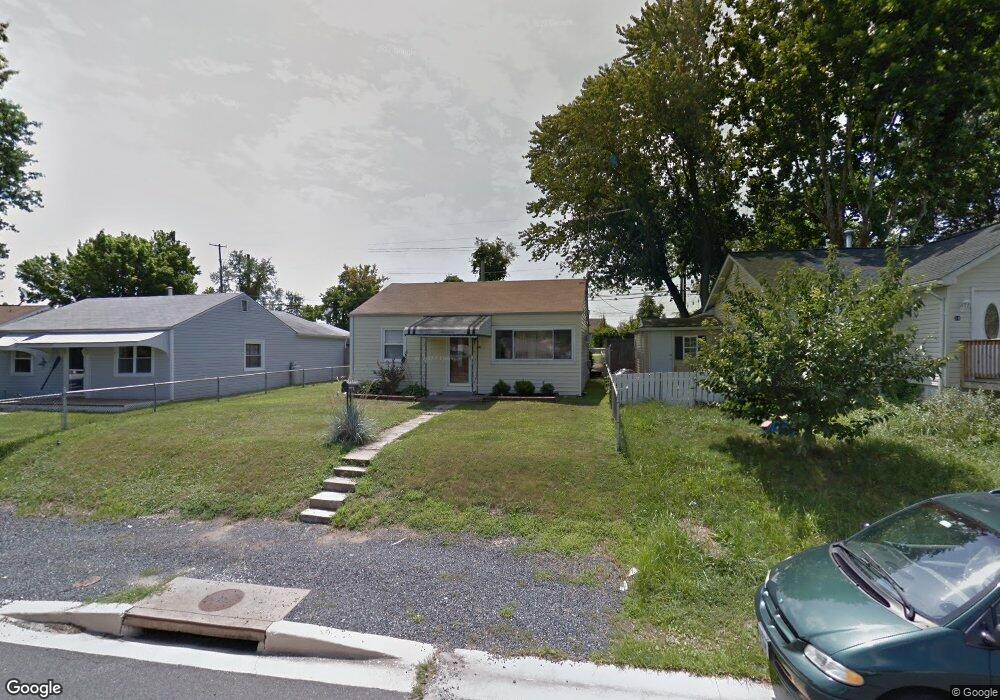
16 Right Wing Dr Middle River, MD 21220
Estimated Value: $191,009 - $227,000
--
Bed
1
Bath
672
Sq Ft
$320/Sq Ft
Est. Value
About This Home
This home is located at 16 Right Wing Dr, Middle River, MD 21220 and is currently estimated at $215,252, approximately $320 per square foot. 16 Right Wing Dr is a home located in Baltimore County with nearby schools including Orems Elementary, Stemmers Run Middle School, and Kenwood High.
Ownership History
Date
Name
Owned For
Owner Type
Purchase Details
Closed on
Aug 11, 1995
Sold by
Severn Robert W
Bought by
Mensch Roy A
Current Estimated Value
Home Financials for this Owner
Home Financials are based on the most recent Mortgage that was taken out on this home.
Original Mortgage
$74,450
Interest Rate
7.48%
Purchase Details
Closed on
May 30, 1992
Sold by
Boone Norman E
Bought by
Severn Robert Wayne
Create a Home Valuation Report for This Property
The Home Valuation Report is an in-depth analysis detailing your home's value as well as a comparison with similar homes in the area
Home Values in the Area
Average Home Value in this Area
Purchase History
| Date | Buyer | Sale Price | Title Company |
|---|---|---|---|
| Mensch Roy A | $73,000 | -- | |
| Severn Robert Wayne | $67,900 | -- |
Source: Public Records
Mortgage History
| Date | Status | Borrower | Loan Amount |
|---|---|---|---|
| Closed | Mensch Roy A | $74,450 |
Source: Public Records
Tax History Compared to Growth
Tax History
| Year | Tax Paid | Tax Assessment Tax Assessment Total Assessment is a certain percentage of the fair market value that is determined by local assessors to be the total taxable value of land and additions on the property. | Land | Improvement |
|---|---|---|---|---|
| 2025 | $1,968 | $137,133 | -- | -- |
| 2024 | $1,968 | $129,767 | $0 | $0 |
| 2023 | $845 | $122,400 | $52,800 | $69,600 |
| 2022 | $1,807 | $116,467 | $0 | $0 |
| 2021 | $613 | $110,533 | $0 | $0 |
| 2020 | $613 | $104,600 | $52,800 | $51,800 |
| 2019 | $1,640 | $104,033 | $0 | $0 |
| 2018 | $1,633 | $103,467 | $0 | $0 |
| 2017 | $1,560 | $102,900 | $0 | $0 |
| 2016 | $1,444 | $100,567 | $0 | $0 |
| 2015 | $1,444 | $98,233 | $0 | $0 |
| 2014 | $1,444 | $95,900 | $0 | $0 |
Source: Public Records
Map
Nearby Homes
- 18 Right Wing Dr
- 1335 Canberra Dr
- 1329 Canberra Dr
- 23 Blister St
- 1040 Middlesex Rd
- 44 Left Wing Dr
- 171 Orville Rd
- 958 Arncliffe Rd
- 53 Longeron Dr
- 1111 Cord St
- 105 Seamaster Rd
- 12 N Hawthorne Rd
- 909 Arncliffe Rd
- 2114 Oakland Rd
- 844 N Marlyn Ave
- 1008 Fuselage Ave
- 832 N Marlyn Ave
- 15 Gyro Dr
- 110 Judywood Ln
- 804 Arncliffe Rd
- 14 Right Wing Dr
- 12 Right Wing Dr
- 20 Right Wing Dr
- 21 Right Wing Dr
- 10 Right Wing Dr
- 22 Right Wing Dr
- 11 Right Wing Dr
- 8 Right Wing Dr
- 24 Right Wing Dr
- 29 Cockpit St
- 24 Cockpit St
- 23 Right Wing Dr
- 7 Right Wing Dr
- 26 Right Wing Dr
- 25 Right Wing Dr
- 6 Right Wing Dr
- 27 Cockpit St
- 22 Cockpit St
- 5 Right Wing Dr
- 27 Right Wing Dr