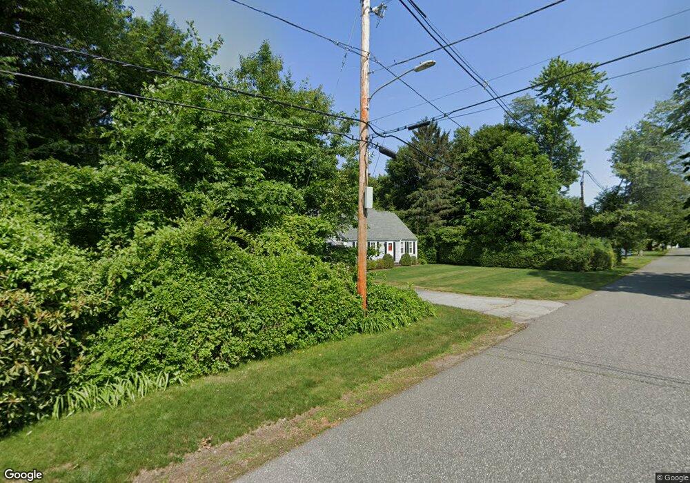
16 Ripley St Wilbraham, MA 01095
Estimated Value: $439,543 - $492,000
4
Beds
2
Baths
1,876
Sq Ft
$253/Sq Ft
Est. Value
About This Home
This home is located at 16 Ripley St, Wilbraham, MA 01095 and is currently estimated at $474,886, approximately $253 per square foot. 16 Ripley St is a home located in Hampden County with nearby schools including Minnechaug Regional High School, Springfield International Charter School, and Wilbraham & Monson Academy.
Ownership History
Date
Name
Owned For
Owner Type
Purchase Details
Closed on
Apr 24, 1992
Sold by
Robkoff Durenda and Robkoff Larry
Bought by
Jackman Alan C and Jackman Christine
Current Estimated Value
Create a Home Valuation Report for This Property
The Home Valuation Report is an in-depth analysis detailing your home's value as well as a comparison with similar homes in the area
Home Values in the Area
Average Home Value in this Area
Purchase History
| Date | Buyer | Sale Price | Title Company |
|---|---|---|---|
| Jackman Alan C | $160,000 | -- |
Source: Public Records
Mortgage History
| Date | Status | Borrower | Loan Amount |
|---|---|---|---|
| Open | Jackman Alan C | $93,500 | |
| Closed | Jackman Alan C | $10,000 | |
| Closed | Jackman Alan C | $100,000 | |
| Closed | Jackman Alan C | $100,000 |
Source: Public Records
Tax History Compared to Growth
Tax History
| Year | Tax Paid | Tax Assessment Tax Assessment Total Assessment is a certain percentage of the fair market value that is determined by local assessors to be the total taxable value of land and additions on the property. | Land | Improvement |
|---|---|---|---|---|
| 2025 | $6,580 | $368,000 | $84,300 | $283,700 |
| 2024 | $6,142 | $332,000 | $84,300 | $247,700 |
| 2023 | $5,836 | $312,100 | $84,300 | $227,800 |
| 2022 | $5,913 | $288,600 | $84,300 | $204,300 |
| 2021 | $5,409 | $235,600 | $92,800 | $142,800 |
| 2020 | $5,273 | $235,600 | $92,800 | $142,800 |
| 2019 | $5,140 | $235,800 | $92,800 | $143,000 |
| 2018 | $4,969 | $219,500 | $92,800 | $126,700 |
| 2017 | $4,829 | $219,500 | $92,800 | $126,700 |
| 2016 | $4,774 | $221,000 | $98,600 | $122,400 |
| 2015 | $4,614 | $221,000 | $98,600 | $122,400 |
Source: Public Records
Map
Nearby Homes
- 8 Patriot Ridge Ln
- 68 Monson Rd
- 767 Stony Hill Rd
- 763 Stony Hill Rd
- 14 Brookdale Dr
- 2 Bayberry Dr Unit 51
- 1028 Tinkham Rd
- 5 Edgewood Rd
- 28 Decorie Dr
- 6 Hilltop Park
- 6 Katie St
- 12 Highridge Rd
- 500 Springfield St
- 474 Mountain Rd
- 11 Wellfleet Dr
- 751 Ridge Rd
- 99 Sandalwood Dr Unit site 00
- 103 Sandalwood Dr Unit site 00
- 57 Sandalwood Dr Unit site 61
- 69 High Pine Cir