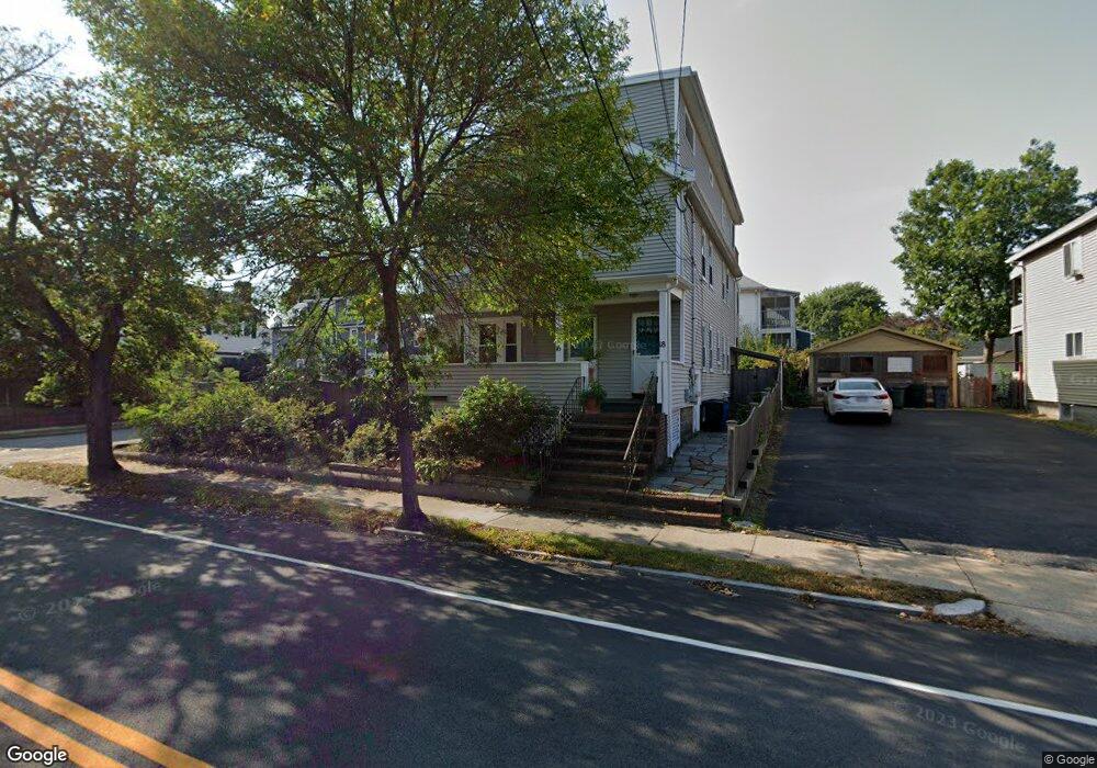
16 River St Unit 1 Arlington, MA 02474
East Arlington NeighborhoodEstimated Value: $1,299,000 - $1,587,880
2
Beds
1
Bath
950
Sq Ft
$1,500/Sq Ft
Est. Value
About This Home
This home is located at 16 River St Unit 1, Arlington, MA 02474 and is currently estimated at $1,425,220, approximately $1,500 per square foot. 16 River St Unit 1 is a home located in Middlesex County with nearby schools including Thompson School, Ottoson Middle School, and Arlington High School.
Ownership History
Date
Name
Owned For
Owner Type
Purchase Details
Closed on
Mar 14, 2003
Sold by
Conlin John F and Conlin John F
Bought by
Conlin John F and Conlin Rachel M
Current Estimated Value
Purchase Details
Closed on
Aug 12, 1993
Sold by
Mcdonald Marilyn L
Bought by
Conlin John F and Conlin Rachel M
Purchase Details
Closed on
Mar 30, 1990
Sold by
Stull Sean D
Bought by
Mcdonald Edward J
Create a Home Valuation Report for This Property
The Home Valuation Report is an in-depth analysis detailing your home's value as well as a comparison with similar homes in the area
Home Values in the Area
Average Home Value in this Area
Purchase History
| Date | Buyer | Sale Price | Title Company |
|---|---|---|---|
| Conlin John F | -- | -- | |
| Conlin John F | $218,000 | -- | |
| Conlin John F | $218,000 | -- | |
| Mcdonald Edward J | $227,000 | -- | |
| Mcdonald Edward J | $227,000 | -- |
Source: Public Records
Mortgage History
| Date | Status | Borrower | Loan Amount |
|---|---|---|---|
| Open | Mcdonald Edward J | $362,800 | |
| Closed | Mcdonald Edward J | $330,000 |
Source: Public Records
Tax History Compared to Growth
Tax History
| Year | Tax Paid | Tax Assessment Tax Assessment Total Assessment is a certain percentage of the fair market value that is determined by local assessors to be the total taxable value of land and additions on the property. | Land | Improvement |
|---|---|---|---|---|
| 2025 | $14,052 | $1,304,700 | $586,600 | $718,100 |
| 2024 | $12,842 | $1,212,700 | $558,400 | $654,300 |
| 2023 | $13,059 | $1,164,900 | $468,100 | $696,800 |
| 2022 | $13,042 | $1,142,000 | $451,200 | $690,800 |
| 2021 | $12,611 | $1,112,100 | $451,200 | $660,900 |
| 2020 | $12,303 | $1,112,400 | $451,200 | $661,200 |
| 2019 | $11,058 | $982,100 | $479,400 | $502,700 |
| 2018 | $6,477 | $852,400 | $349,700 | $502,700 |
| 2017 | $9,760 | $777,100 | $304,600 | $472,500 |
| 2016 | $9,368 | $731,900 | $259,400 | $472,500 |
| 2015 | $9,073 | $669,600 | $253,800 | $415,800 |
Source: Public Records
Map
Nearby Homes
- 42-44 Warren St Unit 42
- 29 Dartmouth St Unit 29
- 94 Rawson Rd Unit 94
- 23 Yale Rd
- 132 Rawson Rd Unit 132
- 41 Palmer St Unit 43
- 25-27 Adams St
- 6 Gordon Rd
- 69 Arlington St
- 12 Arizona Terrace Unit 2
- 167 Franklin St Unit 167
- 215 Massachusetts Ave Unit 19 (34)
- 230 Massachusetts Ave Unit 6
- 18 Belknap St Unit 2
- 18 Belknap St Unit 1
- 166 Arlington St
- 111 Sharon St Unit 1
- 22 Hamilton Rd Unit 206
- 31 Sharon St
- 395 Alewife Brook Pkwy Unit 2C
- 16 River St Unit 18
- 20 River St Unit 22
- 79 Amherst St
- 24 River St Unit 26
- 4 Amherst St
- 4 Amherst St Unit 4
- 4 Amherst St Unit 2
- 6 Amherst St
- 8 Amherst St Unit 10
- 8 Bowdoin St Unit 1
- 11 Amherst St
- 8-10 Amherst St
- 8-10 Amherst St Unit TWO
- 8-10 Amherst St Unit ONE
- 12 Bowdoin St
- 10 River St Unit 2
- 8 River St Unit 10
- 8 River St Unit 8
- 8 River St Unit 2
- 8 River St Unit 1