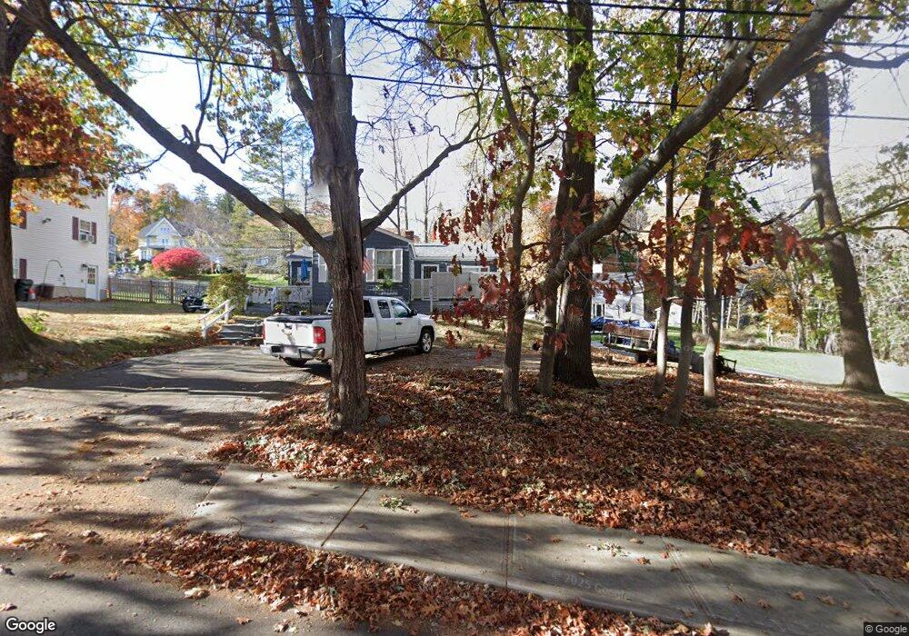
16 Rowell St Amesbury, MA 01913
Estimated Value: $417,000 - $569,000
3
Beds
3
Baths
1,230
Sq Ft
$416/Sq Ft
Est. Value
About This Home
This home is located at 16 Rowell St, Amesbury, MA 01913 and is currently estimated at $511,389, approximately $415 per square foot. 16 Rowell St is a home located in Essex County with nearby schools including Amesbury High School and Amesbury Seventh-Day Adventist School.
Ownership History
Date
Name
Owned For
Owner Type
Purchase Details
Closed on
Feb 16, 2007
Sold by
Lavenson Debra L and Lavenson Gary S
Bought by
Lavenson Debra L
Current Estimated Value
Create a Home Valuation Report for This Property
The Home Valuation Report is an in-depth analysis detailing your home's value as well as a comparison with similar homes in the area
Home Values in the Area
Average Home Value in this Area
Purchase History
| Date | Buyer | Sale Price | Title Company |
|---|---|---|---|
| Lavenson Debra L | -- | -- |
Source: Public Records
Mortgage History
| Date | Status | Borrower | Loan Amount |
|---|---|---|---|
| Open | Lavenson Debra L | $25,000 | |
| Previous Owner | Lavenson Debra L | $50,000 | |
| Previous Owner | Lavenson Debra L | $15,000 | |
| Previous Owner | Lavenson Debra L | $105,000 |
Source: Public Records
Tax History Compared to Growth
Tax History
| Year | Tax Paid | Tax Assessment Tax Assessment Total Assessment is a certain percentage of the fair market value that is determined by local assessors to be the total taxable value of land and additions on the property. | Land | Improvement |
|---|---|---|---|---|
| 2025 | $6,206 | $405,600 | $199,100 | $206,500 |
| 2024 | $5,862 | $374,800 | $187,800 | $187,000 |
| 2023 | $5,724 | $350,300 | $163,300 | $187,000 |
| 2022 | $5,535 | $312,900 | $142,000 | $170,900 |
| 2021 | $5,145 | $281,900 | $109,700 | $172,200 |
| 2020 | $4,647 | $270,500 | $105,500 | $165,000 |
| 2019 | $4,594 | $250,100 | $105,500 | $144,600 |
| 2018 | $4,719 | $248,500 | $100,500 | $148,000 |
| 2017 | $4,415 | $221,300 | $100,500 | $120,800 |
| 2016 | $4,316 | $212,800 | $100,500 | $112,300 |
| 2015 | $4,182 | $203,600 | $100,500 | $103,100 |
| 2014 | $3,777 | $180,100 | $100,500 | $79,600 |
Source: Public Records
Map
Nearby Homes
- 3 Arlington St
- 105 Market St Unit B
- 101 Market St Unit B
- 101 Market St Unit A
- 48 Orchard St
- 25 Cedar St Unit 4
- 25 Cedar St Unit 14
- 25 Cedar St Unit 7
- 4 Winter St
- 13 High St Unit 2
- 4 Clark St
- 57 Clinton St
- 37 Millyard Unit 204
- 97 Elm St
- 5 Richs Ct Unit 3
- 118 Elm St
- 1 Brown Ave Unit 1-37
- 1 Brown Ave Unit 3-80
- 93 Friend St
- 25 Whittier Meadows Dr