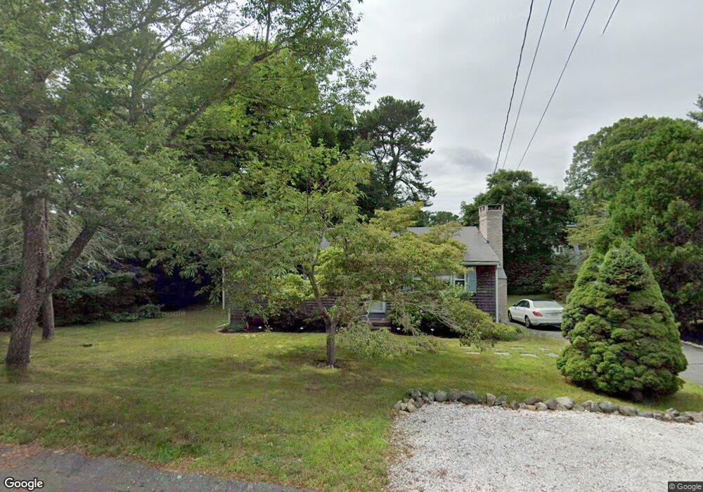
16 Sabbatt Rd Pocasset, MA 02559
Pocasset NeighborhoodEstimated Value: $458,000 - $528,000
2
Beds
1
Bath
960
Sq Ft
$520/Sq Ft
Est. Value
About This Home
This home is located at 16 Sabbatt Rd, Pocasset, MA 02559 and is currently estimated at $499,412, approximately $520 per square foot. 16 Sabbatt Rd is a home located in Barnstable County with nearby schools including Bourne High School and Cadence Academy Preschool - Bourne.
Ownership History
Date
Name
Owned For
Owner Type
Purchase Details
Closed on
Oct 13, 2023
Sold by
Viens Ft and Martin
Bought by
Viens Susan A
Current Estimated Value
Purchase Details
Closed on
Mar 13, 2023
Sold by
Viens Susan A
Bought by
Viens Ft and Martin
Purchase Details
Closed on
Jul 31, 2008
Sold by
Berlandi Stephen P
Bought by
Viens Susan A
Home Financials for this Owner
Home Financials are based on the most recent Mortgage that was taken out on this home.
Original Mortgage
$206,400
Interest Rate
6.47%
Mortgage Type
Purchase Money Mortgage
Create a Home Valuation Report for This Property
The Home Valuation Report is an in-depth analysis detailing your home's value as well as a comparison with similar homes in the area
Home Values in the Area
Average Home Value in this Area
Purchase History
| Date | Buyer | Sale Price | Title Company |
|---|---|---|---|
| Viens Susan A | -- | None Available | |
| Viens Susan A | -- | None Available | |
| Viens Ft | -- | None Available | |
| Viens Ft | -- | None Available | |
| Viens Susan A | $229,000 | -- | |
| Viens Susan A | $229,000 | -- |
Source: Public Records
Mortgage History
| Date | Status | Borrower | Loan Amount |
|---|---|---|---|
| Previous Owner | Viens Susan A | $206,400 | |
| Previous Owner | Viens Susan A | $25,000 |
Source: Public Records
Tax History Compared to Growth
Tax History
| Year | Tax Paid | Tax Assessment Tax Assessment Total Assessment is a certain percentage of the fair market value that is determined by local assessors to be the total taxable value of land and additions on the property. | Land | Improvement |
|---|---|---|---|---|
| 2025 | $3,087 | $395,300 | $196,500 | $198,800 |
| 2024 | $3,147 | $392,400 | $204,100 | $188,300 |
| 2023 | $3,061 | $347,400 | $180,700 | $166,700 |
| 2022 | $2,831 | $280,600 | $146,600 | $134,000 |
| 2021 | $2,751 | $255,400 | $133,400 | $122,000 |
| 2020 | $2,659 | $247,600 | $132,100 | $115,500 |
| 2019 | $2,534 | $241,100 | $132,100 | $109,000 |
| 2018 | $2,426 | $230,200 | $131,600 | $98,600 |
| 2017 | $2,347 | $227,900 | $130,300 | $97,600 |
| 2016 | $2,269 | $223,300 | $130,300 | $93,000 |
| 2015 | $1,849 | $183,600 | $90,600 | $93,000 |
Source: Public Records
Map
Nearby Homes
- 7 Portside Dr
- 7 4th Ave
- 15 1st St
- 174 Barlows Landing Rd
- 940 County Rd
- 709 County Rd
- 940 County Rd
- 254 Barlows Landing Rd
- 39 Bennets Neck Dr
- 1094 County Rd
- 3 Red Brook Pond Dr
- 515 County Rd
- 171 Bellavista Dr
- 16 Tara Terrace
- 501 County Rd
- 48 Red Brook Harbor Rd
- 22 Nairn Rd
- 14 Navajo Rd
- 1234 Route 28a
- 30 Howard Ave