16 Shady Rest Blvd Sandy Hook, CT 06482
Estimated Value: $449,000 - $539,000
3
Beds
3
Baths
1,236
Sq Ft
$401/Sq Ft
Est. Value
About This Home
This home is located at 16 Shady Rest Blvd, Sandy Hook, CT 06482 and is currently estimated at $495,778, approximately $401 per square foot. 16 Shady Rest Blvd is a home located in Fairfield County with nearby schools including Hawley Elementary School, Reed Intermediate School, and Newtown Middle School.
Ownership History
Date
Name
Owned For
Owner Type
Purchase Details
Closed on
Oct 31, 2007
Sold by
Mcwilliams Matthew and Mcwilliams Sheila
Bought by
Eberlin Roger S and Eberlin Heather L
Current Estimated Value
Home Financials for this Owner
Home Financials are based on the most recent Mortgage that was taken out on this home.
Original Mortgage
$321,930
Outstanding Balance
$204,213
Interest Rate
6.43%
Estimated Equity
$291,565
Purchase Details
Closed on
May 12, 1998
Sold by
Karsawe Leslie S
Bought by
Mcwilliams Matthew and Mcwilliams Sheila
Home Financials for this Owner
Home Financials are based on the most recent Mortgage that was taken out on this home.
Original Mortgage
$174,930
Interest Rate
7.05%
Mortgage Type
Unknown
Create a Home Valuation Report for This Property
The Home Valuation Report is an in-depth analysis detailing your home's value as well as a comparison with similar homes in the area
Home Values in the Area
Average Home Value in this Area
Purchase History
| Date | Buyer | Sale Price | Title Company |
|---|---|---|---|
| Eberlin Roger S | $350,000 | -- | |
| Eberlin Roger S | $350,000 | -- | |
| Mcwilliams Matthew | $171,500 | -- | |
| Mcwilliams Matthew | $171,500 | -- |
Source: Public Records
Mortgage History
| Date | Status | Borrower | Loan Amount |
|---|---|---|---|
| Open | Mcwilliams Matthew | $321,930 | |
| Closed | Mcwilliams Matthew | $321,930 | |
| Previous Owner | Mcwilliams Matthew | $180,000 | |
| Previous Owner | Mcwilliams Matthew | $174,930 |
Source: Public Records
Tax History
| Year | Tax Paid | Tax Assessment Tax Assessment Total Assessment is a certain percentage of the fair market value that is determined by local assessors to be the total taxable value of land and additions on the property. | Land | Improvement |
|---|---|---|---|---|
| 2025 | $6,779 | $235,880 | $56,390 | $179,490 |
| 2024 | $6,362 | $235,880 | $56,390 | $179,490 |
| 2023 | $6,189 | $235,880 | $56,390 | $179,490 |
| 2022 | $5,540 | $159,800 | $55,140 | $104,660 |
| 2021 | $5,537 | $159,800 | $55,140 | $104,660 |
| 2020 | $5,555 | $159,800 | $55,140 | $104,660 |
| 2019 | $5,556 | $159,800 | $55,140 | $104,660 |
| 2018 | $5,472 | $159,800 | $55,140 | $104,660 |
| 2017 | $5,693 | $168,070 | $73,490 | $94,580 |
| 2016 | $5,647 | $168,070 | $73,490 | $94,580 |
| 2015 | $5,558 | $168,070 | $73,490 | $94,580 |
| 2014 | $5,598 | $168,070 | $73,490 | $94,580 |
Source: Public Records
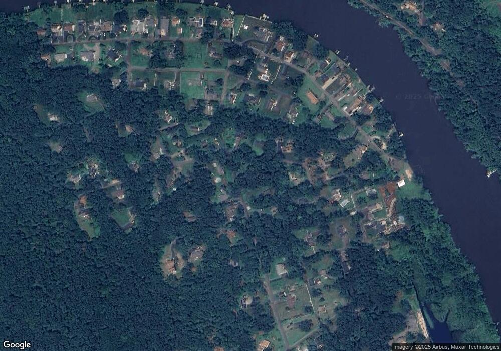
Map
Nearby Homes
- 5 Shepaug Rd
- 4 Shady Rest Blvd
- 7 Ford Rd
- 600 Berkshire Rd
- 17 Buttonball Dr
- 167 Willow Creek Estates Dr
- Ashford Plan at Willow Creek Estates
- 12 Valley Field Rd S
- 41 Chipmunk Trail
- 56 Walnut Tree Hill Rd
- 32 Old Green Rd
- 34 Echo Valley Rd
- 22 Hemlock Trail
- 4 Sunnyview Terrace
- 108 Riverside Rd
- 175 Hollow Swamp Rd
- 25 Saint George Place
- 105 Lower Fish Rock Rd
- 89 Alpine Dr
- 30 Capitol Dr
- 14 Shady Rest Blvd
- 13 Shady Rest Blvd
- 20 Shepaug Rd
- 11 Shepaug Rd
- 11 Shady Rest Blvd
- 22 Shepaug Rd
- 18 Shepaug Rd
- 12 Shady Rest Blvd
- 2 Deer Trail
- 2 Overlook Knoll Rd
- 3 Overlook Knoll Rd
- 9 Shepaug Rd
- 1 Deer Trail
- 3 Todds Rd
- 1 Todds Rd
- 18 Mackenzie Cir
- 17 Shady Rest Blvd
- 5 Todds Rd
- 19 Shady Rest Blvd
- 4 Deer Trail
Your Personal Tour Guide
Ask me questions while you tour the home.