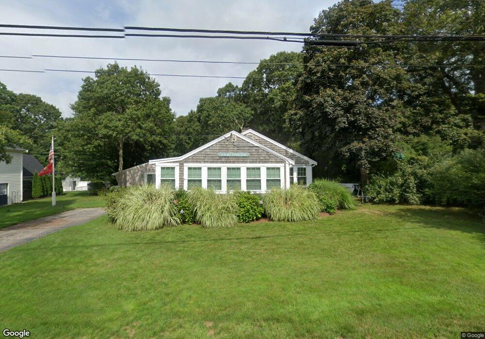
16 Spruce Dr Pocasset, MA 02559
Pocasset NeighborhoodEstimated Value: $568,984 - $650,000
2
Beds
1
Bath
624
Sq Ft
$960/Sq Ft
Est. Value
About This Home
This home is located at 16 Spruce Dr, Pocasset, MA 02559 and is currently estimated at $599,246, approximately $960 per square foot. 16 Spruce Dr is a home located in Barnstable County with nearby schools including Bourne High School, Cadence Academy Preschool - Bourne, and Heritage Christian Academy.
Ownership History
Date
Name
Owned For
Owner Type
Purchase Details
Closed on
Feb 4, 2023
Sold by
Flannery Nancy A and Allen Carol F
Bought by
Flannery Nancy A and Allen Carol F
Current Estimated Value
Purchase Details
Closed on
Dec 15, 2020
Sold by
Moak-Faria Abram A
Bought by
Flannery Nancy A and Allen Carol F
Purchase Details
Closed on
Nov 8, 2019
Sold by
Rivers Nt and Bainbridge-Burrill
Bought by
Flannery Nancy A and Allen Carol F
Home Financials for this Owner
Home Financials are based on the most recent Mortgage that was taken out on this home.
Original Mortgage
$262,000
Interest Rate
3.65%
Mortgage Type
New Conventional
Purchase Details
Closed on
Aug 4, 2004
Sold by
Burrill Barbara A and Rivers Barbara A
Bought by
Rivers Nt and Rivers
Create a Home Valuation Report for This Property
The Home Valuation Report is an in-depth analysis detailing your home's value as well as a comparison with similar homes in the area
Home Values in the Area
Average Home Value in this Area
Purchase History
| Date | Buyer | Sale Price | Title Company |
|---|---|---|---|
| Flannery Nancy A | -- | None Available | |
| Flannery Nancy A | -- | None Available | |
| Flannery Nancy A | -- | None Available | |
| Flannery Nancy A | -- | None Available | |
| Flannery Nancy A | $327,500 | -- | |
| Flannery Nancy A | $327,500 | -- | |
| Rivers Nt | $10,000 | -- | |
| Rivers Nt | $10,000 | -- |
Source: Public Records
Mortgage History
| Date | Status | Borrower | Loan Amount |
|---|---|---|---|
| Previous Owner | Flannery Nancy A | $262,000 |
Source: Public Records
Tax History Compared to Growth
Tax History
| Year | Tax Paid | Tax Assessment Tax Assessment Total Assessment is a certain percentage of the fair market value that is determined by local assessors to be the total taxable value of land and additions on the property. | Land | Improvement |
|---|---|---|---|---|
| 2025 | $4,618 | $591,300 | $417,300 | $174,000 |
| 2024 | $4,516 | $563,100 | $397,400 | $165,700 |
| 2023 | $4,019 | $456,200 | $309,500 | $146,700 |
| 2022 | $3,624 | $359,200 | $242,800 | $116,400 |
| 2021 | $3,615 | $335,700 | $220,900 | $114,800 |
| 2020 | $3,523 | $328,000 | $218,800 | $109,200 |
| 2019 | $3,383 | $321,900 | $218,800 | $103,100 |
| 2018 | $3,288 | $312,000 | $213,800 | $98,200 |
| 2017 | $3,400 | $330,100 | $232,900 | $97,200 |
| 2016 | $3,038 | $299,000 | $211,800 | $87,200 |
| 2015 | $3,011 | $299,000 | $211,800 | $87,200 |
Source: Public Records
Map
Nearby Homes
- 22 Nairn Rd
- 48 Red Brook Harbor Rd
- 3 Red Brook Pond Dr
- 171 Bellavista Dr
- 1094 County Rd
- 940 County Rd
- 254 Barlows Landing Rd
- 34 Kenwood Rd
- 45 Kenwood Rd
- 940 County Rd
- 70 Wings Neck Rd
- 709 County Rd
- 7 4th Ave
- 174 Barlows Landing Rd
- 24 Richmond Rd
- 15 1st St
- 1234 Route 28a
- 1234 Route 28a
- 14 Navajo Rd
- 89 Harbor Dr