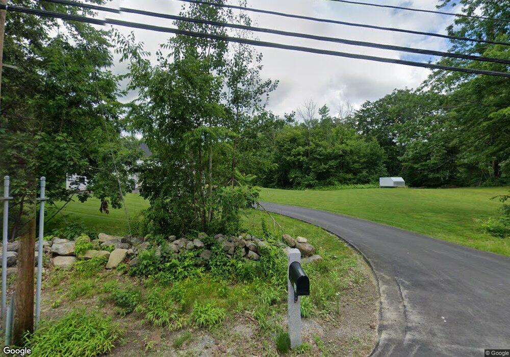
16 Stark Hwy S Dunbarton, NH 03046
Estimated Value: $590,000 - $830,804
3
Beds
3
Baths
2,240
Sq Ft
$331/Sq Ft
Est. Value
About This Home
This home is located at 16 Stark Hwy S, Dunbarton, NH 03046 and is currently estimated at $741,701, approximately $331 per square foot. 16 Stark Hwy S is a home with nearby schools including Dunbarton Elementary School, Bow Memorial School, and Bow High School.
Create a Home Valuation Report for This Property
The Home Valuation Report is an in-depth analysis detailing your home's value as well as a comparison with similar homes in the area
Home Values in the Area
Average Home Value in this Area
Tax History Compared to Growth
Tax History
| Year | Tax Paid | Tax Assessment Tax Assessment Total Assessment is a certain percentage of the fair market value that is determined by local assessors to be the total taxable value of land and additions on the property. | Land | Improvement |
|---|---|---|---|---|
| 2024 | $13,762 | $521,700 | $73,500 | $448,200 |
| 2023 | $13,340 | $521,700 | $73,500 | $448,200 |
| 2022 | $11,989 | $521,700 | $73,500 | $448,200 |
| 2021 | $7,550 | $322,500 | $73,500 | $249,000 |
| 2020 | $1,638 | $73,500 | $73,500 | $0 |
Source: Public Records
Map
Nearby Homes
- 15 Robert Rogers Rd
- 1003 School St
- 49 Stark Hwy N
- 78 Rangeway Rd
- 3 Stephanie Rd
- 0 Fairway Dr Unit 11
- 22 Fairway Dr
- 43 Sterling Place
- 1 Hop Kiln Rd
- 70 Gile Hill Rd
- 250 Grapevine Rd
- 0 Brown Hill Rd Unit 5032600
- 104 Brown Hill Rd
- 5 Longview Dr
- 8 Longview Dr
- 849 River Rd
- 0 Huntington Hill Rd Unit 69
- 490 Page Rd
- 40 N Woods Rd
- 602 Black Brook Rd
- 20 Stark Hwy S
- 14 Stark Hwy S
- 19 Stark Hwy S
- 11 Stark Hwy S
- 13 Stark Hwy S
- 26 Stark Hwy S
- 10 Stark Hwy S
- 23 Stark Hwy S
- 9 Stark Hwy S
- 17 Stark Hwy S
- 28 Stark Hwy S
- 25 Robert Rogers Rd
- 7 Stark Hwy S
- 21 Robert Rogers Rd
- 17 Robert Rogers Rd
- 37 Stark Hwy S
- 31 Stark Hwy S
- 11 Robert Rogers Rd
- 5 Stark Hwy S
- 34 Stark Hwy S