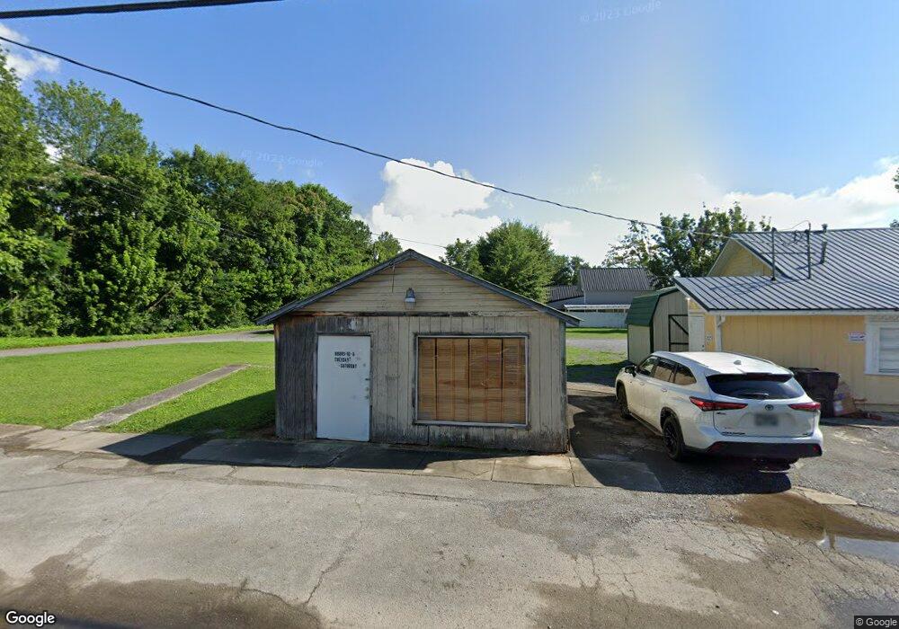
16 State St W Dunlap, TN 37327
Estimated Value: $135,435 - $442,000
Studio
1
Bath
1,142
Sq Ft
$216/Sq Ft
Est. Value
About This Home
This home is located at 16 State St W, Dunlap, TN 37327 and is currently estimated at $246,359, approximately $215 per square foot. 16 State St W is a home located in Sequatchie County with nearby schools including Griffith Elementary School, Sequatchie County Middle School, and Sequatchie County High School.
Ownership History
Date
Name
Owned For
Owner Type
Purchase Details
Closed on
Mar 31, 1993
Bought by
Wife Billingsley C and Wife Katherine
Current Estimated Value
Purchase Details
Closed on
Jan 20, 1993
Bought by
Willhide Micheal L & % Ch Billingsley Jr
Purchase Details
Closed on
Jan 1, 1981
Create a Home Valuation Report for This Property
The Home Valuation Report is an in-depth analysis detailing your home's value as well as a comparison with similar homes in the area
Home Values in the Area
Average Home Value in this Area
Purchase History
| Date | Buyer | Sale Price | Title Company |
|---|---|---|---|
| Wife Billingsley C | $32,000 | -- | |
| Willhide Micheal L & % Ch Billingsley Jr | $30,000 | -- | |
| -- | $9,600 | -- |
Source: Public Records
Tax History
| Year | Tax Paid | Tax Assessment Tax Assessment Total Assessment is a certain percentage of the fair market value that is determined by local assessors to be the total taxable value of land and additions on the property. | Land | Improvement |
|---|---|---|---|---|
| 2025 | -- | $45,280 | $20,160 | $25,120 |
| 2024 | -- | $45,280 | $20,160 | $25,120 |
| 2023 | $1,094 | $45,280 | $20,160 | $25,120 |
| 2022 | $807 | $24,320 | $17,120 | $7,200 |
| 2021 | $795 | $24,320 | $17,120 | $7,200 |
| 2020 | $795 | $24,320 | $17,120 | $7,200 |
| 2019 | $795 | $24,320 | $17,120 | $7,200 |
| 2018 | $786 | $24,320 | $17,120 | $7,200 |
| 2017 | $777 | $24,320 | $17,120 | $7,200 |
| 2016 | $943 | $28,320 | $25,200 | $3,120 |
| 2015 | $943 | $28,320 | $25,200 | $3,120 |
| 2014 | $943 | $28,320 | $25,200 | $3,120 |
Source: Public Records
Map
Nearby Homes
- 0 State Rt 399 Lot 13
- 159 Poplar St
- 0 SE US Hwy 127 Unit 1519993
- 0 SE US Hwy 127 Unit 1519990
- 0 SE US Hwy 127 Unit 1519988
- 0 SE US Hwy 127 Unit 1314389
- 0 SE US Hwy 127 Unit 1519979
- 0 SE US Hwy 127 Unit 1519991
- 0 SE US Hwy 127 Unit 1519984
- 2 Fredonia Rd
- 21550 U S 127
- 21552 U S 127
- 1 Fredonia Rd
- 3 Fredonia Rd
- 103 Fredonia Rd
- 410 Cherry St
- 254 Cdl Trail
- 95 Blue Sky Rd Rd
- Lot 13 B Greenfields Way
- 0 Jericho Rd Unit 1523837
- 15875 Rankin Ave
- 2 State St W
- 15869 Rankin Ave
- 0 State St W
- 0 Hendon Rd Unit 988895
- 0 Hendon Rd Unit 653895
- 15889 Rankin Ave
- 6897 Highway 28
- 15866 Rankin Ave
- 15825 Rankin Ave
- 15880 Rankin Ave
- 0 Hwy 111 - Sr8 Unit 5481333
- 0 Hwy 111 - Sr8 Unit 5481047
- 0 Hwy 111 - Sr8 Unit 5480723
- 0 Hwy 111 - Sr8 Tract 2
- 0 Hwy 111 - Sr8 Tract 1
- 3802 State St
- 15836 Rankin Ave
- 15809 Rankin Ave
- 136 Rankin Ave