16 Stephanie Rd Dunbarton, NH 03046
Estimated Value: $426,000 - $477,000
2
Beds
1
Bath
1,176
Sq Ft
$384/Sq Ft
Est. Value
About This Home
This home is located at 16 Stephanie Rd, Dunbarton, NH 03046 and is currently estimated at $451,093, approximately $383 per square foot. 16 Stephanie Rd is a home located in Merrimack County with nearby schools including Dunbarton Elementary School, Bow Memorial School, and Bow High School.
Ownership History
Date
Name
Owned For
Owner Type
Purchase Details
Closed on
May 11, 2023
Sold by
Robert G Saunders Ret
Bought by
Robert G Saunders Ret
Current Estimated Value
Purchase Details
Closed on
Jan 31, 2008
Sold by
Perkins Donald A
Bought by
Saunders Robert
Home Financials for this Owner
Home Financials are based on the most recent Mortgage that was taken out on this home.
Original Mortgage
$216,000
Interest Rate
6.18%
Mortgage Type
Purchase Money Mortgage
Create a Home Valuation Report for This Property
The Home Valuation Report is an in-depth analysis detailing your home's value as well as a comparison with similar homes in the area
Home Values in the Area
Average Home Value in this Area
Purchase History
| Date | Buyer | Sale Price | Title Company |
|---|---|---|---|
| Robert G Saunders Ret | -- | None Available | |
| Saunders Robert | $270,000 | -- |
Source: Public Records
Mortgage History
| Date | Status | Borrower | Loan Amount |
|---|---|---|---|
| Previous Owner | Saunders Robert | $216,000 |
Source: Public Records
Tax History Compared to Growth
Tax History
| Year | Tax Paid | Tax Assessment Tax Assessment Total Assessment is a certain percentage of the fair market value that is determined by local assessors to be the total taxable value of land and additions on the property. | Land | Improvement |
|---|---|---|---|---|
| 2024 | $7,007 | $265,600 | $114,900 | $150,700 |
| 2023 | $6,791 | $265,600 | $114,900 | $150,700 |
| 2022 | $6,103 | $265,600 | $114,900 | $150,700 |
| 2021 | $6,218 | $265,600 | $114,900 | $150,700 |
| 2020 | $5,918 | $265,600 | $114,900 | $150,700 |
| 2018 | $4,353 | $193,200 | $75,300 | $117,900 |
| 2017 | $4,948 | $193,200 | $75,300 | $117,900 |
| 2016 | $4,633 | $193,200 | $75,300 | $117,900 |
| 2015 | $4,558 | $193,200 | $75,300 | $117,900 |
| 2014 | $4,458 | $210,900 | $65,100 | $145,800 |
| 2013 | $4,431 | $210,900 | $65,100 | $145,800 |
Source: Public Records
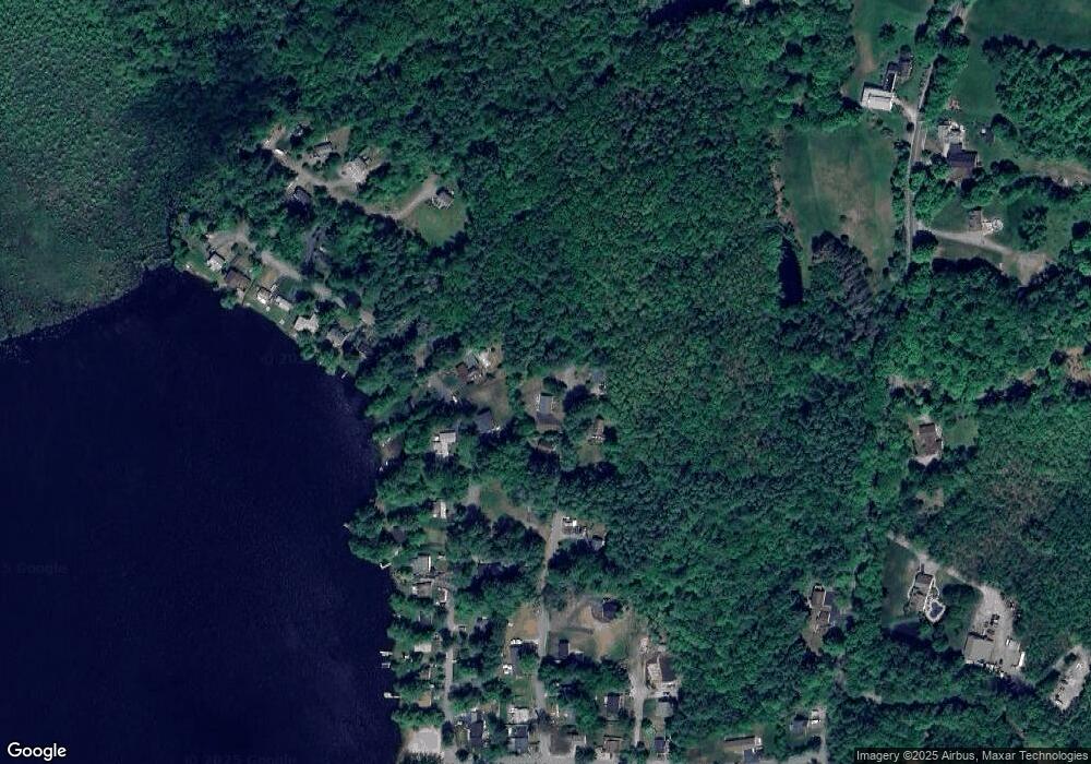
Map
Nearby Homes
- 3 Stephanie Rd
- 0 Fairway Dr Unit 11
- 22 Fairway Dr
- 15 Robert Rogers Rd
- 1003 School St
- 78 Rangeway Rd
- 849 River Rd
- 174 S Stark Hwy Unit 13
- 174 S Stark Hwy Unit 1
- 174 S Stark Hwy Unit 23
- 88 Saunders Rd
- 0 Huntington Hill Rd Unit 69
- 602 Black Brook Rd
- 93 Daniels Rd
- 103 Renshaw Rd
- 77 Gould Rd
- 624 S Stark Hwy
- 45 Range Rd
- 16 Palmer Rd
- 99 Elm St
- 14 Stephanie Rd
- 19 Holiday Shore Dr
- 17 Stephanie Rd
- 21 Holiday Shore Dr
- 15 Stephanie Rd
- 23 Holiday Shore Dr
- 18 Holiday Shore Dr
- 25 Holiday Shore Dr
- 20 Holiday Shore Dr
- 24 Holiday Shore Dr
- 16 Holiday Shore Dr
- 27 Holiday Shore Dr
- 26 Holiday Shore Dr
- 11 Holiday Shore Dr
- 11 Stephanie Rd
- 28 Holiday Shore Dr
- 14 Holiday Shore Dr
- 0 Stephanie Rd
- 48 Holiday Shore Dr
- 12 Holiday Shore Dr