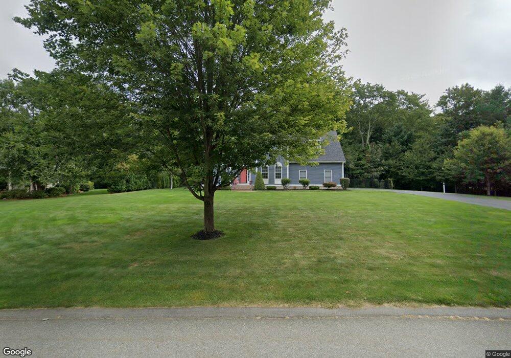
16 Stonebridge Rd Groveland, MA 01834
Estimated Value: $957,000 - $1,300,000
4
Beds
3
Baths
2,926
Sq Ft
$365/Sq Ft
Est. Value
About This Home
This home is located at 16 Stonebridge Rd, Groveland, MA 01834 and is currently estimated at $1,069,128, approximately $365 per square foot. 16 Stonebridge Rd is a home located in Essex County with nearby schools including Pentucket Regional High School.
Ownership History
Date
Name
Owned For
Owner Type
Purchase Details
Closed on
Jun 30, 2006
Sold by
Tower Homes Inc
Bought by
Manfredonia John R and Manfredonia Suzanne N
Current Estimated Value
Purchase Details
Closed on
Jan 11, 2006
Sold by
Walker Dev Llc
Bought by
Ketschke Tricia J
Create a Home Valuation Report for This Property
The Home Valuation Report is an in-depth analysis detailing your home's value as well as a comparison with similar homes in the area
Home Values in the Area
Average Home Value in this Area
Purchase History
| Date | Buyer | Sale Price | Title Company |
|---|---|---|---|
| Manfredonia John R | $649,900 | -- | |
| Ketschke Tricia J | $300,000 | -- |
Source: Public Records
Mortgage History
| Date | Status | Borrower | Loan Amount |
|---|---|---|---|
| Closed | Ketschke Tricia J | $146,000 | |
| Closed | Ketschke Tricia J | $193,500 | |
| Closed | Ketschke Tricia J | $210,000 |
Source: Public Records
Tax History Compared to Growth
Tax History
| Year | Tax Paid | Tax Assessment Tax Assessment Total Assessment is a certain percentage of the fair market value that is determined by local assessors to be the total taxable value of land and additions on the property. | Land | Improvement |
|---|---|---|---|---|
| 2025 | $10,941 | $862,200 | $254,100 | $608,100 |
| 2024 | $10,365 | $765,500 | $242,000 | $523,500 |
| 2023 | $9,601 | $731,200 | $231,300 | $499,900 |
| 2022 | $9,430 | $651,700 | $203,400 | $448,300 |
| 2021 | $9,022 | $612,900 | $188,400 | $424,500 |
| 2020 | $8,521 | $606,500 | $188,400 | $418,100 |
| 2019 | $8,484 | $591,200 | $177,700 | $413,500 |
| 2018 | $8,304 | $565,300 | $167,000 | $398,300 |
| 2017 | $8,028 | $546,900 | $167,000 | $379,900 |
| 2016 | $7,759 | $514,200 | $158,500 | $355,700 |
| 2015 | $7,659 | $524,200 | $167,000 | $357,200 |
| 2014 | $7,688 | $510,500 | $167,000 | $343,500 |
Source: Public Records
Map
Nearby Homes
- 7 Pheasant Ln
- 129 King St
- 503 Diane Cir
- 2 Dana Dr
- 606 Alyssa Dr Unit 606
- 167 Center St
- 7 Yale St
- Lot 9 Katie Ln
- Lot 8 Katie Ln
- 231 W Main St
- 1 Atwood Ln
- 98 King St
- 206 W Main St Unit 3
- 206 W Main St Unit 5
- 206 W Main St Unit 6
- 206 W Main St Unit 4
- 106 School St
- 199 W Main St
- 3 Carriage Ln
- 6 Highland Ave
- 14 Stonebridge Rd
- 18 Stonebridge Rd
- 20 Stonebridge Rd
- 15 Stonebridge Rd
- 12 Stonebridge Rd
- 15 Stonebridge Rd
- 13 Stonebridge Rd
- 24 Stonebridge Rd
- 24 Stonebridge Rd Unit Road
- 11 Stonebridge Rd
- Lot 15 Stonebridge Rd
- 10 Stonebridge Rd
- 21 Stonebridge Rd
- 9 Stonebridge Rd
- 23 Stonebridge Rd
- 28 Stonebridge Rd
- 26 Stonebridge Rd
- 165 King St
- 19 Stonebridge Rd
- 19 Stonebridge Rd