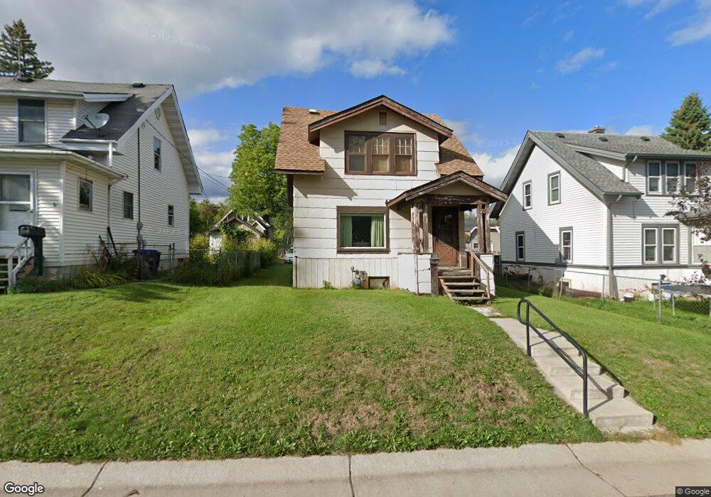
16 Sunnyside St Duluth, MN 55808
Riverside NeighborhoodEstimated Value: $141,451 - $202,000
2
Beds
1
Bath
910
Sq Ft
$187/Sq Ft
Est. Value
About This Home
This home is located at 16 Sunnyside St, Duluth, MN 55808 and is currently estimated at $169,863, approximately $186 per square foot. 16 Sunnyside St is a home located in St. Louis County with nearby schools including Stowe Elementary School, Lincoln Park Middle School, and Denfeld High School.
Ownership History
Date
Name
Owned For
Owner Type
Purchase Details
Closed on
Aug 22, 2025
Sold by
Rudh Martin
Bought by
Rudh Martin
Current Estimated Value
Purchase Details
Closed on
May 17, 2024
Sold by
Randall Leiloni R and Huffman Leiloni R
Bought by
Rudh Martin and Rudh Kristin
Purchase Details
Closed on
Mar 6, 2024
Sold by
Pryatel Anthony Joseph and Pryatel Regine L
Bought by
Moryn Leiloni R and Huffman Leiloni R
Create a Home Valuation Report for This Property
The Home Valuation Report is an in-depth analysis detailing your home's value as well as a comparison with similar homes in the area
Home Values in the Area
Average Home Value in this Area
Purchase History
| Date | Buyer | Sale Price | Title Company |
|---|---|---|---|
| Rudh Martin | $500 | None Listed On Document | |
| Rudh Martin | $26,900 | None Listed On Document | |
| Moryn Leiloni R | $17,500 | None Listed On Document |
Source: Public Records
Tax History
| Year | Tax Paid | Tax Assessment Tax Assessment Total Assessment is a certain percentage of the fair market value that is determined by local assessors to be the total taxable value of land and additions on the property. | Land | Improvement |
|---|---|---|---|---|
| 2024 | $1,112 | $112,100 | $10,200 | $101,900 |
| 2023 | $1,112 | $112,100 | $10,200 | $101,900 |
| 2022 | $920 | $92,600 | $9,600 | $83,000 |
| 2021 | $762 | $81,200 | $8,400 | $72,800 |
| 2020 | $782 | $70,800 | $7,300 | $63,500 |
| 2019 | $724 | $70,800 | $7,300 | $63,500 |
| 2018 | $1,068 | $65,800 | $7,300 | $58,500 |
| 2017 | $1,070 | $72,900 | $7,400 | $65,500 |
| 2016 | $1,060 | $72,900 | $7,400 | $65,500 |
| 2015 | $735 | $43,700 | $4,500 | $39,200 |
| 2014 | $735 | $43,700 | $4,500 | $39,200 |
Source: Public Records
Map
Nearby Homes
- 125 Goldys Way
- 8408 Potters Place
- 8313 Eric Shaffer Way
- 121 Kayak View
- 8620 Maynard Place
- 8602 Maynard Place
- 9118 Gogebic St
- 5xx N 83rd Ave W
- 322 N 80th Ave W
- TBD Arbor St
- 9501 Seaver Ave
- 1010 85th Ave W
- 1063 86th Ave W
- 2xx S 63rd Ave W
- 3xx S 63rd Ave W
- 317 S 63rd Ave W
- 33 Ivy Dr
- 63 S Elder Dr
- XXX Commonwealth Ave
- 21 Kalmia Dr
- 14 Sunnyside St
- 18 Sunnyside St
- 20 Sunnyside St
- 12 Sunnyside St
- 7 Manitou St
- 5 Manitou St
- 9 Manitou St
- 10 Sunnyside St
- 10 Sunnyside St Unit RIVERSIDE
- 3 Manitou St
- 11 Manitou St
- 24 Sunnyside St
- 36 Cato Ave
- 8 Sunnyside St
- 35 England Ave
- 15 Manitou St
- 1 Manitou St
- 34 Cato Ave
- 6 Sunnyside St
- 33 England Ave
Your Personal Tour Guide
Ask me questions while you tour the home.