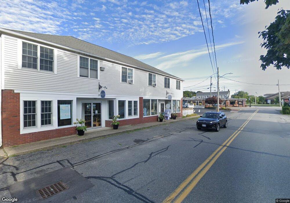
16 Telegraph Rd Dennis Port, MA 2639
Dennis Port Neighborhood
--
Bed
--
Bath
7,420
Sq Ft
0.67
Acres
About This Home
This home is located at 16 Telegraph Rd, Dennis Port, MA 2639. 16 Telegraph Rd is a home located in Barnstable County with nearby schools including Dennis-Yarmouth Regional High School and St. Pius X. School.
Ownership History
Date
Name
Owned For
Owner Type
Purchase Details
Closed on
Sep 25, 2017
Sold by
Sa Land T and Labelle
Bought by
Labelle Property Mgmt
Create a Home Valuation Report for This Property
The Home Valuation Report is an in-depth analysis detailing your home's value as well as a comparison with similar homes in the area
Home Values in the Area
Average Home Value in this Area
Purchase History
| Date | Buyer | Sale Price | Title Company |
|---|---|---|---|
| Labelle Property Mgmt | -- | -- | |
| Labelle Property Mgmt | -- | -- |
Source: Public Records
Tax History Compared to Growth
Tax History
| Year | Tax Paid | Tax Assessment Tax Assessment Total Assessment is a certain percentage of the fair market value that is determined by local assessors to be the total taxable value of land and additions on the property. | Land | Improvement |
|---|---|---|---|---|
| 2025 | $3,230 | $745,900 | $174,900 | $571,000 |
| 2024 | $3,228 | $735,200 | $168,500 | $566,700 |
| 2023 | $3,265 | $699,200 | $160,500 | $538,700 |
| 2022 | $3,725 | $665,200 | $151,400 | $513,800 |
| 2021 | $6,124 | $641,200 | $148,500 | $492,700 |
| 2020 | $3,842 | $629,900 | $142,900 | $487,000 |
| 2019 | $3,857 | $625,100 | $142,900 | $482,200 |
| 2018 | $5,333 | $627,600 | $142,900 | $484,700 |
| 2017 | $4,939 | $627,600 | $142,900 | $484,700 |
| 2016 | $4,181 | $640,200 | $142,900 | $497,300 |
| 2015 | $4,097 | $640,200 | $142,900 | $497,300 |
| 2014 | $3,773 | $594,200 | $142,900 | $451,300 |
Source: Public Records
Map
Nearby Homes
- 47 Telegraph Rd Unit 1
- 141 Division St
- 141 Division St
- 9 Country Ln
- 73 Division St
- 10 Candlewood Ln Unit 2-1
- 12 Candlewood Ln Unit 2-9
- 45 Route 28
- 40 Willow St
- 148 Belmont Rd
- 12 Cross St
- 79 Massachusetts 28
- 26 Manning Rd
- 9 Bells Neck Rd Unit 10
- 104 Toms Path
- 9 Mansion St
- 91 Depot Rd W
- 6 Bayberry Ln
- 11 Lane Rd
- 78 Upper County Rd Unit A&B
- 652 Main St
- 17 Telegraph Rd
- 662 Main St
- 237 Upper County Rd
- 497 Upper County Rd
- 485 Upper County Rd
- 636 Main St
- 662 Massachusetts 28
- 668 Main St
- 2 Telegraph Rd
- 242 Upper County Rd
- 626 Main St
- 242 Upper County Rd
- 246 Upper County Rd
- 671 Main St
- 678 Main St
- 676 Main (Route 28) St
- 682 Main St
- 682 Main St
- 401 Upper County Rd