16 Tristam Trace Westerly, RI 02891
Estimated Value: $1,613,000 - $1,840,000
4
Beds
4
Baths
3,413
Sq Ft
$499/Sq Ft
Est. Value
About This Home
This home is located at 16 Tristam Trace, Westerly, RI 02891 and is currently estimated at $1,704,057, approximately $499 per square foot. 16 Tristam Trace is a home located in Washington County with nearby schools including Westerly High School and St. Michael School.
Ownership History
Date
Name
Owned For
Owner Type
Purchase Details
Closed on
Mar 18, 2005
Sold by
L L Ross Inc
Bought by
Bulazel Alexander
Current Estimated Value
Purchase Details
Closed on
Sep 19, 2003
Sold by
Ryder Douglas
Bought by
L L Ross Inc
Create a Home Valuation Report for This Property
The Home Valuation Report is an in-depth analysis detailing your home's value as well as a comparison with similar homes in the area
Home Values in the Area
Average Home Value in this Area
Purchase History
| Date | Buyer | Sale Price | Title Company |
|---|---|---|---|
| Bulazel Alexander | $815,000 | -- | |
| L L Ross Inc | $195,000 | -- |
Source: Public Records
Mortgage History
| Date | Status | Borrower | Loan Amount |
|---|---|---|---|
| Open | L L Ross Inc | $168,250 | |
| Open | L L Ross Inc | $338,000 |
Source: Public Records
Tax History
| Year | Tax Paid | Tax Assessment Tax Assessment Total Assessment is a certain percentage of the fair market value that is determined by local assessors to be the total taxable value of land and additions on the property. | Land | Improvement |
|---|---|---|---|---|
| 2025 | $11,388 | $1,463,700 | $532,400 | $931,300 |
| 2024 | $11,544 | $1,104,700 | $382,800 | $721,900 |
| 2023 | $11,224 | $1,104,700 | $382,800 | $721,900 |
| 2022 | $11,157 | $1,104,700 | $382,800 | $721,900 |
| 2021 | $10,261 | $850,800 | $278,500 | $572,300 |
| 2020 | $10,082 | $850,800 | $278,500 | $572,300 |
| 2019 | $9,988 | $850,800 | $278,500 | $572,300 |
| 2018 | $9,235 | $747,800 | $273,300 | $474,500 |
| 2017 | $8,974 | $747,800 | $273,300 | $474,500 |
| 2016 | $8,974 | $747,800 | $273,300 | $474,500 |
| 2015 | $8,620 | $767,600 | $278,700 | $488,900 |
| 2014 | $8,482 | $767,600 | $278,700 | $488,900 |
Source: Public Records
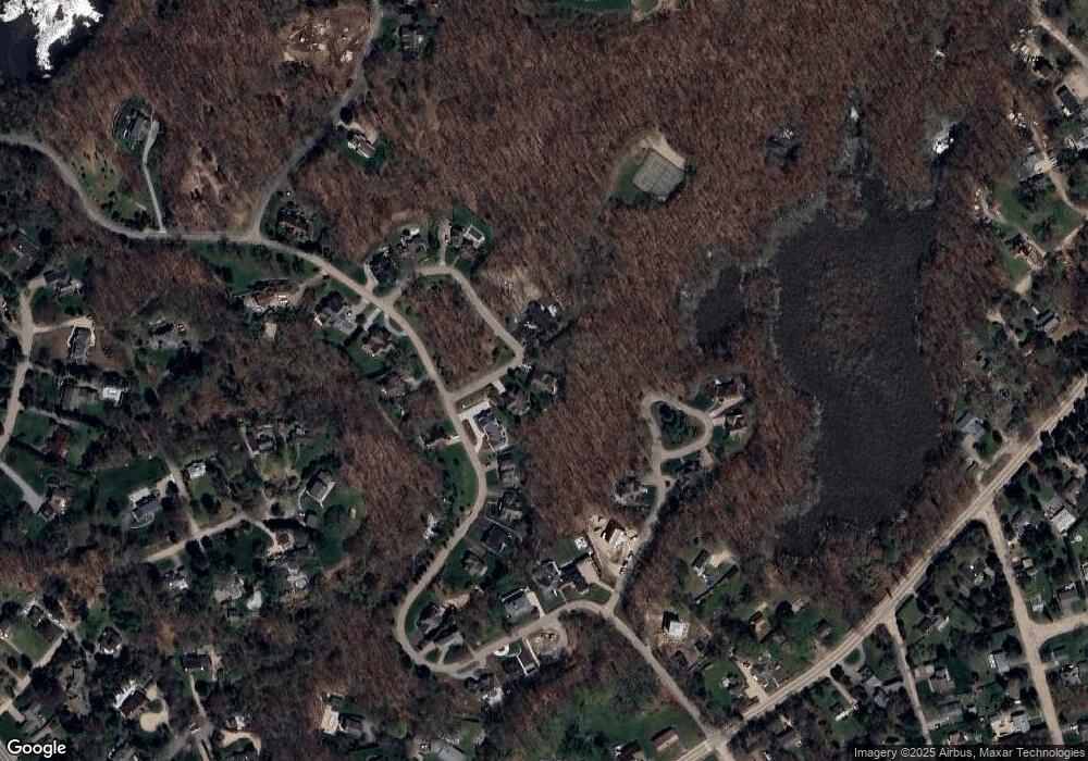
Map
Nearby Homes
- 10 Tristam St
- 4 Shore Rd
- 27 Benson Ave
- 9 Compass Way Unit 201
- 9 Compass Way Unit 202
- 9 Compass Way Unit 101
- 9 Compass Way Unit 102
- 9 Compass Way Unit 103
- 9 Compass Way Unit 203
- 4 Quail Run
- 417 River Rd
- 60 Avondale Rd
- 18 Timothy Dr
- 9 Champlin Dr
- 20 Browning Rd
- 16 Green Ave
- 0 Green Ave
- 23 Summertime Cir
- 22 Summertime Cir
- 19 Wicklow Rd
- 18 Tristam Trace
- 14 Tristam Trace
- 26 Ice Pond Rd
- 28 Ice Pond Rd
- 12 Oyster Cove
- 30 Ice Pond Rd
- 10 Oyster Cove
- 29 Ice Pond Rd
- 14 Oyster Cove
- 32 Ice Pond Rd
- 12 Tristam Trace St
- 6 Oyster Cove
- 25 Ice Pond Rd
- 6 Tristam Trace
- 34 Ice Pond Rd
- 23 Ice Pond Rd
- 7 Oyster Cove
- 4 Oyster Cove
- 11 Oyster Cove
- 4 Tristam Trace
Your Personal Tour Guide
Ask me questions while you tour the home.