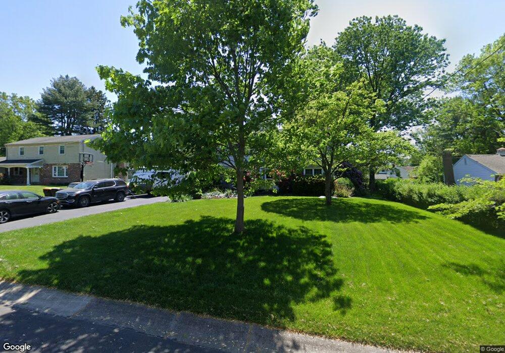
16 Walnut Ln Doylestown, PA 18901
Estimated Value: $721,498 - $796,000
4
Beds
3
Baths
2,324
Sq Ft
$333/Sq Ft
Est. Value
About This Home
This home is located at 16 Walnut Ln, Doylestown, PA 18901 and is currently estimated at $774,125, approximately $333 per square foot. 16 Walnut Ln is a home located in Bucks County with nearby schools including Linden El School, Lenape Middle School, and Central Bucks High School-West.
Ownership History
Date
Name
Owned For
Owner Type
Purchase Details
Closed on
Aug 31, 2000
Sold by
Meier Colleen R
Bought by
Mcgurk Ii Charles E and Mcgurk Susan S
Current Estimated Value
Home Financials for this Owner
Home Financials are based on the most recent Mortgage that was taken out on this home.
Original Mortgage
$192,000
Interest Rate
8.16%
Create a Home Valuation Report for This Property
The Home Valuation Report is an in-depth analysis detailing your home's value as well as a comparison with similar homes in the area
Home Values in the Area
Average Home Value in this Area
Purchase History
| Date | Buyer | Sale Price | Title Company |
|---|---|---|---|
| Mcgurk Ii Charles E | $244,000 | -- |
Source: Public Records
Mortgage History
| Date | Status | Borrower | Loan Amount |
|---|---|---|---|
| Previous Owner | Mcgurk Ii Charles E | $192,000 |
Source: Public Records
Tax History
| Year | Tax Paid | Tax Assessment Tax Assessment Total Assessment is a certain percentage of the fair market value that is determined by local assessors to be the total taxable value of land and additions on the property. | Land | Improvement |
|---|---|---|---|---|
| 2025 | $6,204 | $34,440 | $7,760 | $26,680 |
| 2024 | $6,204 | $34,440 | $7,760 | $26,680 |
| 2023 | $5,911 | $34,440 | $7,760 | $26,680 |
| 2022 | $5,829 | $34,440 | $7,760 | $26,680 |
| 2021 | $5,765 | $34,440 | $7,760 | $26,680 |
| 2020 | $5,702 | $34,440 | $7,760 | $26,680 |
| 2019 | $5,639 | $34,440 | $7,760 | $26,680 |
| 2018 | $5,570 | $34,440 | $7,760 | $26,680 |
| 2017 | $5,511 | $34,440 | $7,760 | $26,680 |
| 2016 | $5,511 | $34,440 | $7,760 | $26,680 |
| 2015 | -- | $34,440 | $7,760 | $26,680 |
| 2014 | -- | $34,440 | $7,760 | $26,680 |
Source: Public Records
Map
Nearby Homes
- 34 Houk Rd
- 607 S Chubb Dr
- 5 Belmont Square
- 3795 Route 202
- 45 Springs Dr
- 117 Windover Ln
- 3775 Buckingham Dr
- 000 Cherry Ln
- 3660 Buttonwood Dr
- 146 E Court St
- 2980 Yorkshire Rd
- 110 E Ashland St
- 150 Selner Ln
- 150 Watercrest Dr
- 69 E Oakland Ave
- 223 Cherry Ln
- 169 N Main St
- 236 Green St
- 102 Clear Springs Ct
- 152 Watercrest Dr
Your Personal Tour Guide
Ask me questions while you tour the home.