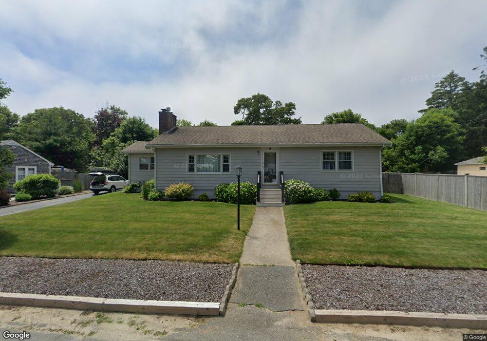
16 Wenonah Rd Buzzards Bay, MA 02532
Estimated Value: $440,000 - $568,000
2
Beds
2
Baths
1,312
Sq Ft
$376/Sq Ft
Est. Value
About This Home
This home is located at 16 Wenonah Rd, Buzzards Bay, MA 02532 and is currently estimated at $493,029, approximately $375 per square foot. 16 Wenonah Rd is a home.
Ownership History
Date
Name
Owned For
Owner Type
Purchase Details
Closed on
Jun 27, 1995
Sold by
Capone Leopolda M and Calpone Alven As
Bought by
Theodore Elaine M
Current Estimated Value
Home Financials for this Owner
Home Financials are based on the most recent Mortgage that was taken out on this home.
Original Mortgage
$5,000
Interest Rate
7.48%
Create a Home Valuation Report for This Property
The Home Valuation Report is an in-depth analysis detailing your home's value as well as a comparison with similar homes in the area
Home Values in the Area
Average Home Value in this Area
Purchase History
| Date | Buyer | Sale Price | Title Company |
|---|---|---|---|
| Theodore Elaine M | $107,500 | -- |
Source: Public Records
Mortgage History
| Date | Status | Borrower | Loan Amount |
|---|---|---|---|
| Previous Owner | Theodore Elaine M | $15,000 | |
| Previous Owner | Theodore Elaine M | $5,000 | |
| Previous Owner | Theodore Elaine M | $57,000 | |
| Previous Owner | Theodore Elaine M | $40,000 |
Source: Public Records
Tax History Compared to Growth
Tax History
| Year | Tax Paid | Tax Assessment Tax Assessment Total Assessment is a certain percentage of the fair market value that is determined by local assessors to be the total taxable value of land and additions on the property. | Land | Improvement |
|---|---|---|---|---|
| 2025 | $4,343 | $395,500 | $120,800 | $274,700 |
| 2024 | $4,376 | $374,700 | $94,400 | $280,300 |
| 2023 | $3,909 | $335,600 | $85,800 | $249,800 |
| 2022 | $3,909 | $287,000 | $85,800 | $201,200 |
| 2021 | $3,889 | $277,800 | $85,800 | $192,000 |
| 2020 | $3,600 | $262,600 | $85,800 | $176,800 |
| 2019 | $3,294 | $242,900 | $82,500 | $160,400 |
| 2018 | $3,130 | $222,900 | $82,500 | $140,400 |
| 2017 | $2,989 | $213,800 | $82,500 | $131,300 |
| 2016 | $2,724 | $193,300 | $79,800 | $113,500 |
| 2015 | $2,648 | $193,300 | $79,800 | $113,500 |
| 2014 | $2,592 | $195,000 | $79,800 | $115,200 |
Source: Public Records
Map
Nearby Homes
- 18 Martin St
- 14 Buttonwood Ln
- 23 Pine Ridge Rd
- 3132 Cranberry Hwy Unit 59
- 110 Packard St
- 11 Thompson Rd Unit 11A
- 11 Thompson Rd Unit A
- 69 Bay Pointe Drive Extension Unit 69
- 45 Bay Pointe Drive Extension Unit 45
- 27 Baker Ln Unit 27H
- 13 Bay Pointe Drive Extension Unit 13
- 37 Bay Pointe Drive Extension Unit 37
- 56 Rip Van Winkle Way
- 22 Long Neck Rd
- 13 Hideaway Village Unit G
- 3 Fairway Dr Unit F
- 9 Hideaway Rd Unit F
- 3 Wolf Rd
- 1 Pine Tree Dr
- 810 Head of The Bay Rd