16 Whittemore Rd Sturbridge, MA 01566
Estimated Value: $582,000 - $654,000
4
Beds
3
Baths
2,416
Sq Ft
$252/Sq Ft
Est. Value
About This Home
This home is located at 16 Whittemore Rd, Sturbridge, MA 01566 and is currently estimated at $608,274, approximately $251 per square foot. 16 Whittemore Rd is a home located in Worcester County with nearby schools including Burgess Elementary School, Tantasqua Regional Junior High School, and Tantasqua Regional High School.
Ownership History
Date
Name
Owned For
Owner Type
Purchase Details
Closed on
Sep 30, 1993
Sold by
Parmenter Donald T and Parmenter Paula
Bought by
Wilson James E and Wilson Mary
Current Estimated Value
Home Financials for this Owner
Home Financials are based on the most recent Mortgage that was taken out on this home.
Original Mortgage
$172,000
Interest Rate
7%
Mortgage Type
Purchase Money Mortgage
Create a Home Valuation Report for This Property
The Home Valuation Report is an in-depth analysis detailing your home's value as well as a comparison with similar homes in the area
Home Values in the Area
Average Home Value in this Area
Purchase History
| Date | Buyer | Sale Price | Title Company |
|---|---|---|---|
| Wilson James E | $216,000 | -- |
Source: Public Records
Mortgage History
| Date | Status | Borrower | Loan Amount |
|---|---|---|---|
| Open | Wilson James E | $30,000 | |
| Open | Wilson James E | $141,500 | |
| Closed | Wilson James E | $172,000 | |
| Previous Owner | Wilson James E | $30,000 |
Source: Public Records
Tax History Compared to Growth
Tax History
| Year | Tax Paid | Tax Assessment Tax Assessment Total Assessment is a certain percentage of the fair market value that is determined by local assessors to be the total taxable value of land and additions on the property. | Land | Improvement |
|---|---|---|---|---|
| 2025 | $7,873 | $494,200 | $101,800 | $392,400 |
| 2024 | $7,724 | $468,400 | $99,800 | $368,600 |
| 2023 | $7,504 | $415,300 | $86,700 | $328,600 |
| 2022 | $7,220 | $377,000 | $78,100 | $298,900 |
| 2021 | $6,493 | $341,400 | $74,400 | $267,000 |
| 2020 | $6,493 | $341,400 | $74,400 | $267,000 |
| 2019 | $6,207 | $324,100 | $76,800 | $247,300 |
| 2018 | $6,108 | $314,200 | $73,100 | $241,100 |
| 2017 | $5,841 | $301,100 | $70,200 | $230,900 |
| 2016 | $5,600 | $291,500 | $68,300 | $223,200 |
| 2015 | $5,558 | $288,900 | $68,300 | $220,600 |
Source: Public Records
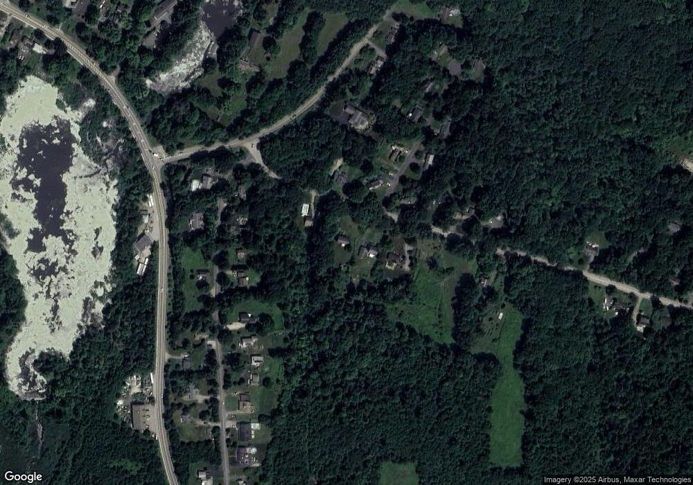
Map
Nearby Homes
- 14 Maple St
- 7 Haynes St
- 9 Haynes St
- 6 Mcgilpin Rd
- 0 Fiske Hill Rd
- 8 Blueberry Ln
- 1 Chase Rd
- 368 Main St
- Lot B-6 River Rd
- 5 Fairview Park Rd Unit A10
- 3 Berry Farms Road - Jv
- 73 New Boston Rd
- 20 Audubon Way
- 101 Mcgilpin Rd
- 22 Mountain Brook Rd
- 6 Cedar Pond Dr
- 43 Mountain Brook Rd
- Lot 1 Berry Farms Road-2 Acre
- 6 Berry Farms Rd Unit 63
- 6 Berry Farms Rd Unit 6
- 18 Whittemore Rd
- 10 Whittemore Rd
- 70 Whittemore Rd
- 20 Whittemore Rd
- 11 Whittemore Rd
- 1 Hawthorne Rd
- 17 Whittemore Rd
- 36 Willard Rd
- 42 Willard Rd
- 34 Willard Rd
- 46 Willard Rd
- 5 Hawthorne Rd
- 21 Whittemore Rd
- 30 Willard Rd
- 8 Hawthorne Rd
- 8 Hall Rd
- 16 Hawthorne Rd
- 23 Whittemore Rd
- 28 Willard Rd
- 26 Willard Rd