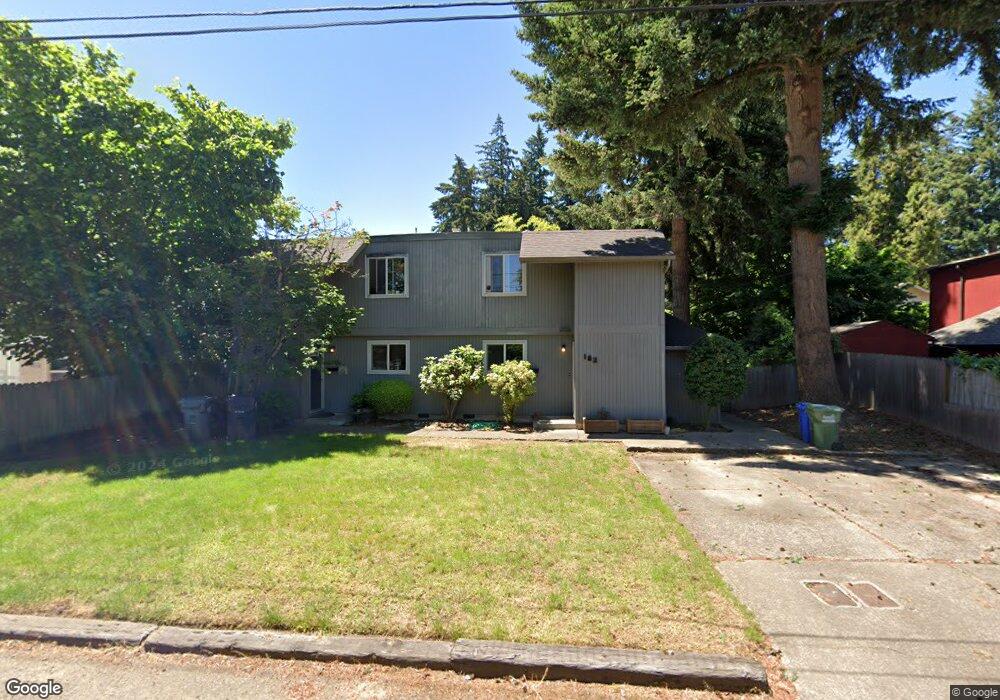
160 Ash St Eugene, OR 97402
Whiteaker NeighborhoodEstimated Value: $479,341 - $1,164,000
About This Home
This home is located at 160 Ash St, Eugene, OR 97402 and is currently estimated at $694,085, approximately $279 per square foot. 160 Ash St is a home located in Lane County with nearby schools including River Road/El Camino del Río Elementary School, Kelly Middle School, and North Eugene High School.
Ownership History
We collect this data history from publicly available records. To have your information removed, we recommend requesting removal directly through your county’s website.
Purchase Details
Home Financials for this Owner
Home Financials are based on the most recent Mortgage that was taken out on this home.Purchase Details
Home Values in the Area
Average Home Value in this Area
Purchase History
We collect this data history from publicly available records. To have your information removed, we recommend requesting removal directly through your county’s website.
| Date | Buyer | Sale Price | Title Company |
|---|---|---|---|
| -- | First American Title | ||
| -- | None Available |
Mortgage History
We collect this data history from publicly available records. To have your information removed, we recommend requesting removal directly through your county’s website.
| Date | Status | Borrower | Loan Amount |
|---|---|---|---|
| Open | $325,000 |
Tax History
We collect this data history from publicly available records. To have your information removed, we recommend requesting removal directly through your county’s website.
| Year | Tax Paid | Tax Assessment Tax Assessment Total Assessment is a certain percentage of the fair market value that is determined by local assessors to be the total taxable value of land and additions on the property. | Land | Improvement |
|---|---|---|---|---|
| 2025 | $4,334 | $222,466 | ||
| 2024 | $4,281 | $215,987 | ||
| 2023 | $4,281 | $209,697 | ||
| 2022 | $4,010 | $203,590 | $0 | $0 |
| 2021 | $3,767 | $197,661 | $0 | $0 |
| 2020 | $3,780 | $191,904 | $0 | $0 |
| 2019 | $3,651 | $186,315 | $0 | $0 |
| 2018 | $3,436 | $175,620 | $0 | $0 |
| 2017 | $3,282 | $175,620 | $0 | $0 |
| 2016 | $3,201 | $170,505 | $0 | $0 |
| 2015 | $3,073 | $165,539 | $0 | $0 |
| 2014 | $3,025 | $160,717 | $0 | $0 |
Map
- 9 N Monroe St Unit B
- 9 N Monroe St Unit D
- 9 N Monroe St Unit A
- 59 Adams St
- 851 W 5th Ave
- 490 W 4th Ave
- 1030 W 5th Ave
- 527 Monroe St
- 427 Washington St
- 511 Madison St
- 325 River Rd
- 577 Madison St
- 875 Sand Ave
- 960 W 7th Ave
- 990 W 7th Ave
- 111 Holeman Ave
- 229 Holeman Ave
- 743 Club Way
- 0 W 7th Aly
- 106 Hansen Ln
Ask me questions while you tour the home.