160 Braden Ln Vaughn, MT 59487
Estimated Value: $872,000
Studio
--
Bath
--
Sq Ft
21,344
Sq Ft Lot
About This Home
This home is located at 160 Braden Ln, Vaughn, MT 59487 and is currently estimated at $872,000. 160 Braden Ln is a home located in Cascade County with nearby schools including Simms High School.
Ownership History
Date
Name
Owned For
Owner Type
Purchase Details
Closed on
Aug 11, 2021
Sold by
Stevens Larry C and Stevens Margie A
Bought by
Pate Michael and Pate Kathy
Current Estimated Value
Purchase Details
Closed on
Oct 6, 2015
Sold by
Joramo Seth M and Joramo Crystal M
Bought by
Stevens Lrry C and Stevens Margie A
Home Financials for this Owner
Home Financials are based on the most recent Mortgage that was taken out on this home.
Original Mortgage
$50,000
Interest Rate
6.25%
Mortgage Type
Future Advance Clause Open End Mortgage
Purchase Details
Closed on
May 16, 2005
Sold by
Walhus Anthony A and Walhus Elvira
Bought by
Joramo Seth M and Joramo Crystal M
Create a Home Valuation Report for This Property
The Home Valuation Report is an in-depth analysis detailing your home's value as well as a comparison with similar homes in the area
Purchase History
| Date | Buyer | Sale Price | Title Company |
|---|---|---|---|
| Pate Michael | -- | First American Title | |
| Stevens Lrry C | -- | First American Title Company | |
| Joramo Seth M | -- | First American Title Company |
Source: Public Records
Mortgage History
| Date | Status | Borrower | Loan Amount |
|---|---|---|---|
| Previous Owner | Stevens Lrry C | $50,000 |
Source: Public Records
Tax History
| Year | Tax Paid | Tax Assessment Tax Assessment Total Assessment is a certain percentage of the fair market value that is determined by local assessors to be the total taxable value of land and additions on the property. | Land | Improvement |
|---|---|---|---|---|
| 2025 | $332 | $60,122 | $0 | $0 |
| 2024 | $600 | $70,031 | $0 | $0 |
| 2023 | $585 | $70,031 | $0 | $0 |
| 2022 | $459 | $53,381 | $0 | $0 |
| 2021 | $428 | $49,341 | $0 | $0 |
| 2020 | $427 | $49,121 | $0 | $0 |
| 2019 | $424 | $49,121 | $0 | $0 |
| 2018 | $365 | $39,910 | $0 | $0 |
| 2017 | $366 | $39,910 | $0 | $0 |
| 2016 | $371 | $39,979 | $0 | $0 |
| 2015 | $384 | $39,979 | $0 | $0 |
| 2014 | $362 | $20,526 | $0 | $0 |
Source: Public Records
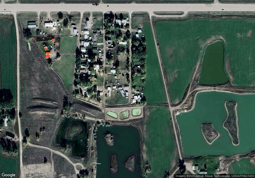
Map
Nearby Homes
- 356 U S 89
- 62 Dear Lane Loop
- TBD Fourmile Creek Rd
- 101 Fourmile Creek Rd
- 1140 5th Ave
- 935 1st Ave
- 895 1st Ave
- 30 Trail Ln
- 130 Meadows Loop
- 1st Road S
- Nhn 1st Rd S
- NHN S 1st Rd
- 1481 County Line Rd
- Nhn County Line Rd
- 5 Indian Cliffs Dr
- TBD Luebbe Rd
- 64 Holmesland Rd
- 201 W Ulm Rd
- Tbd N Manchester Rd
- 1176 County Line Rd
Your Personal Tour Guide
Ask me questions while you tour the home.