160 Craig Main St Wolf Creek, MT 59648
Estimated Value: $459,000
1
Bed
--
Bath
--
Sq Ft
3,920
Sq Ft Lot
About This Home
This home is located at 160 Craig Main St, Wolf Creek, MT 59648 and is currently estimated at $459,000. 160 Craig Main St is a home located in Lewis and Clark County.
Ownership History
Date
Name
Owned For
Owner Type
Purchase Details
Closed on
Mar 31, 2021
Sold by
Lafaver Sharon
Bought by
Arnold John Cameron and Arnold Julie Janis
Current Estimated Value
Home Financials for this Owner
Home Financials are based on the most recent Mortgage that was taken out on this home.
Original Mortgage
$203,000
Outstanding Balance
$182,690
Interest Rate
2.8%
Mortgage Type
New Conventional
Estimated Equity
$276,310
Purchase Details
Closed on
May 31, 2005
Sold by
Dean Marya A
Bought by
Lafaver Sharon
Home Financials for this Owner
Home Financials are based on the most recent Mortgage that was taken out on this home.
Original Mortgage
$76,000
Interest Rate
6.75%
Mortgage Type
Adjustable Rate Mortgage/ARM
Create a Home Valuation Report for This Property
The Home Valuation Report is an in-depth analysis detailing your home's value as well as a comparison with similar homes in the area
Home Values in the Area
Average Home Value in this Area
Purchase History
| Date | Buyer | Sale Price | Title Company |
|---|---|---|---|
| Arnold John Cameron | -- | Chicago Title | |
| Lafaver Sharon | -- | Helena Abstract & Title Comp |
Source: Public Records
Mortgage History
| Date | Status | Borrower | Loan Amount |
|---|---|---|---|
| Open | Arnold John Cameron | $203,000 | |
| Previous Owner | Lafaver Sharon | $76,000 |
Source: Public Records
Tax History Compared to Growth
Tax History
| Year | Tax Paid | Tax Assessment Tax Assessment Total Assessment is a certain percentage of the fair market value that is determined by local assessors to be the total taxable value of land and additions on the property. | Land | Improvement |
|---|---|---|---|---|
| 2025 | $454 | $146,136 | $0 | $0 |
| 2024 | $373 | $66,349 | $0 | $0 |
| 2023 | $443 | $66,349 | $0 | $0 |
| 2022 | $453 | $56,855 | $0 | $0 |
| 2021 | $367 | $56,855 | $0 | $0 |
| 2020 | $448 | $56,217 | $0 | $0 |
| 2019 | $455 | $56,217 | $0 | $0 |
| 2018 | $424 | $51,488 | $0 | $0 |
| 2017 | $322 | $51,488 | $0 | $0 |
| 2016 | $283 | $32,232 | $0 | $0 |
| 2015 | $204 | $32,232 | $0 | $0 |
| 2014 | $329 | $27,842 | $0 | $0 |
Source: Public Records
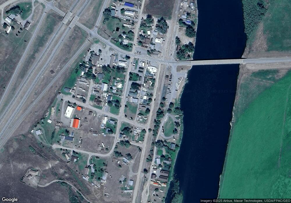
Map
Nearby Homes
- 220 Leonard St
- 2755 Sevenmile Rd
- 2155 Craig River Rd Unit 2 Parcels of land
- 4234 & 4236 Marshall Ln
- Tbd Powerline Rd
- 64 Bluebird Dr
- TBD Golden Eagle Dr
- 0 Mountain Home Ln Unit 16921312
- 558 Dearborn River Rd
- 1348 Beartooth Rd
- 68 River Dr
- Tbd Mountain Home Ln
- Nhn Gunsight Ln Unit Cascade MT 59421
- 2660 Olywood Ct
- 23 River Dr
- 153 Cooper Dr
- 0 Tbd Ridge Crest Ln
- 41 Sugarloaf Mountain Ln Unit Parcel 2
- 84 Sugarloaf Mountain Ln
- 2973 Old Us Highway 91
- 130 Craig Main St
- 170 Craig Main St
- 140 Craig Main St
- 180 Craig Main St
- 191 Leonard St
- 191&199 Leonard St
- 198 Craig Main St
- 140 Leonard St
- 105 Bridge St
- 105 Bridge St Unit Izaak's
- 170 Leonard St
- 145 Bridge St
- 110 Leonard St
- 210 Craig Main St
- 311 Bridge St
- 215 Leonard St
- 75 Leonard St
- 260 Augusta St
- 67 Leonard St
- 70 Craig Main St