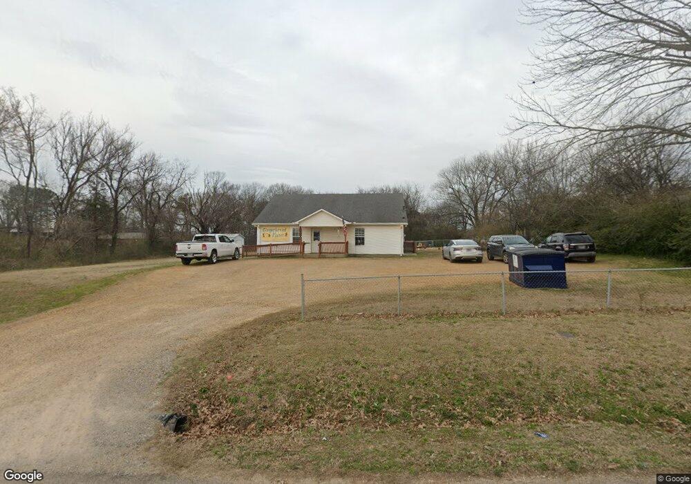
160 High St Savannah, TN 38372
Estimated Value: $133,000 - $218,000
--
Bed
1
Bath
1,600
Sq Ft
$108/Sq Ft
Est. Value
About This Home
This home is located at 160 High St, Savannah, TN 38372 and is currently estimated at $173,425, approximately $108 per square foot. 160 High St is a home located in Hardin County with nearby schools including Hardin County High School, Hardin County Christian School, and Savannah Christian Academy.
Ownership History
Date
Name
Owned For
Owner Type
Purchase Details
Closed on
Sep 21, 2018
Sold by
Melson Vicki
Bought by
Prince Joseph M and Prince Misty D
Current Estimated Value
Home Financials for this Owner
Home Financials are based on the most recent Mortgage that was taken out on this home.
Original Mortgage
$95,000
Interest Rate
4.5%
Mortgage Type
New Conventional
Purchase Details
Closed on
Mar 13, 2007
Sold by
Coln Gary
Bought by
Melson Vicki
Purchase Details
Closed on
Jan 14, 1972
Bought by
Ingle Ingle L and Ingle Marie
Purchase Details
Closed on
Nov 14, 1945
Create a Home Valuation Report for This Property
The Home Valuation Report is an in-depth analysis detailing your home's value as well as a comparison with similar homes in the area
Home Values in the Area
Average Home Value in this Area
Purchase History
| Date | Buyer | Sale Price | Title Company |
|---|---|---|---|
| Prince Joseph M | $105,500 | -- | |
| Melson Vicki | $24,000 | -- | |
| Ingle Ingle L | -- | -- | |
| -- | -- | -- |
Source: Public Records
Mortgage History
| Date | Status | Borrower | Loan Amount |
|---|---|---|---|
| Closed | Prince Joseph M | $95,000 | |
| Closed | Prince Joseph M | $95,000 |
Source: Public Records
Tax History Compared to Growth
Tax History
| Year | Tax Paid | Tax Assessment Tax Assessment Total Assessment is a certain percentage of the fair market value that is determined by local assessors to be the total taxable value of land and additions on the property. | Land | Improvement |
|---|---|---|---|---|
| 2024 | $1,624 | $66,280 | $5,800 | $60,480 |
| 2023 | $1,624 | $66,280 | $5,800 | $60,480 |
| 2022 | $1,407 | $50,960 | $5,200 | $45,760 |
| 2021 | $1,407 | $50,960 | $5,200 | $45,760 |
| 2020 | $1,389 | $50,960 | $5,200 | $45,760 |
| 2019 | $1,389 | $50,320 | $5,200 | $45,120 |
| 2018 | $1,354 | $50,320 | $5,200 | $45,120 |
| 2017 | $1,183 | $42,560 | $4,000 | $38,560 |
| 2016 | $1,183 | $42,560 | $4,000 | $38,560 |
| 2015 | $1,073 | $42,560 | $4,000 | $38,560 |
| 2014 | $1,073 | $42,560 | $4,000 | $38,560 |
Source: Public Records
Map
Nearby Homes
- 0 High Pointe Dr Unit 10202679
- 6 High Pointe Dr
- 7 High Pointe Dr
- 105 Pinhook Dr
- 7085 Cravens Rd
- 0 Hwy 128 Hwy Unit LotWP001 22873478
- 0 Hwy 128 Hwy Unit RTC2801964
- 0 Hwy 128 Hwy Unit 10143254
- 230 White St
- 190 Turner Kyle Dr
- 10 Deberry St
- 171 White St
- 530 Main St E
- 25 Northcutt St
- 250 Ranch St
- 165 College St
- 80 Northcutt St
- 00 Enoch Blvd
- 0 Pickwick St Unit 2501597
- 710 Main St E
- 220 Malcomb St
- 200 Malcomb St
- 0 High Pointe Dr Unit 3141959
- 0 High Pointe Dr Unit 3141957
- 0 High Pointe Dr Unit 3141955
- 0 High Pointe Dr Unit 3141950
- 0 High Pointe Dr Unit 3141933
- 0 High Pointe Dr Unit 3141869
- 0 High Pointe Dr Unit 3141891
- 0 High Pointe Dr Unit 3141879
- 0 High Pointe Dr Unit 3141865
- 0 High Pointe Dr Unit 3141942
- 0 High Pointe Dr Unit 3141873
- 0 High Pointe Dr Unit 3141890
- 0 High Pointe Dr Unit 3141875
- 0 High Pointe Dr Unit 3141940
- 0 High Pointe Dr Unit 3141928
- 0 High Pointe Dr Unit 3141882
- 0 High Pointe Dr Unit 3141945
- 0 High Pointe Dr Unit 3141894