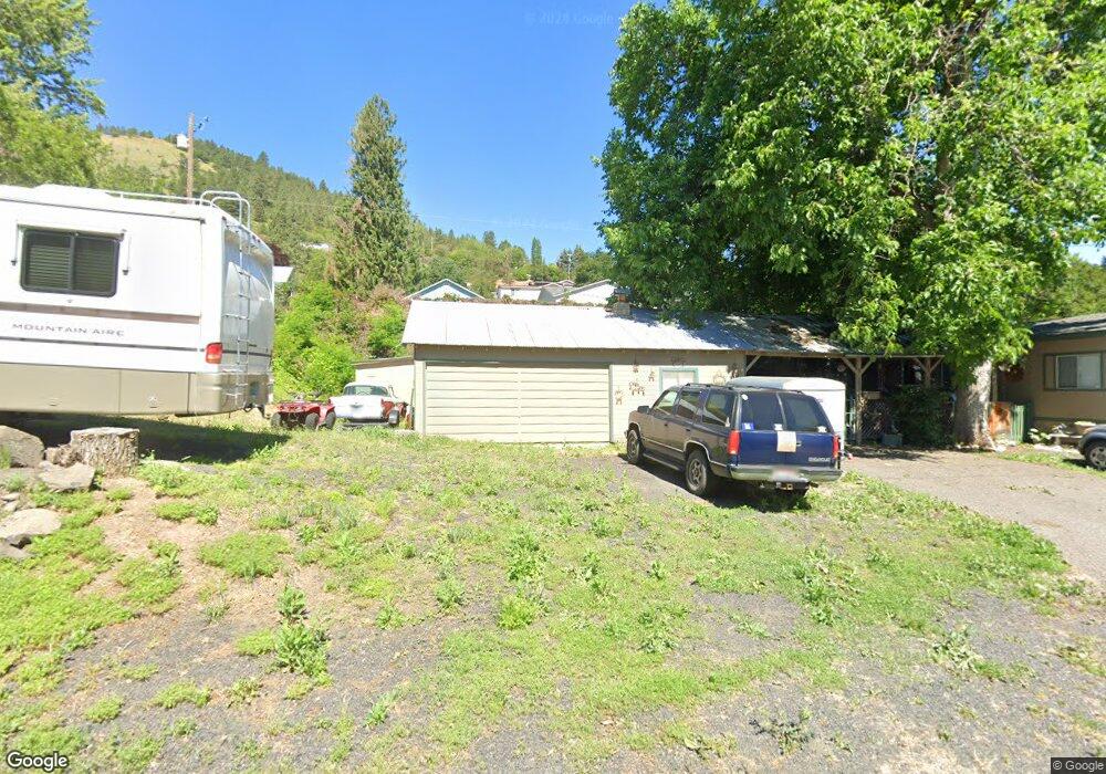
160 Old Main St Juliaetta, ID 83535
Estimated Value: $113,000 - $394,000
3
Beds
2
Baths
1,000
Sq Ft
$259/Sq Ft
Est. Value
About This Home
This home is located at 160 Old Main St, Juliaetta, ID 83535 and is currently estimated at $258,667, approximately $258 per square foot. 160 Old Main St is a home located in Latah County with nearby schools including Juliaetta Elementary School and Kendrick Junior/Senior High School.
Ownership History
Date
Name
Owned For
Owner Type
Purchase Details
Closed on
Nov 9, 2016
Sold by
Nagle Brittani Ann
Bought by
Boltz Gary L
Current Estimated Value
Home Financials for this Owner
Home Financials are based on the most recent Mortgage that was taken out on this home.
Original Mortgage
$107,400
Outstanding Balance
$85,526
Interest Rate
3.42%
Mortgage Type
VA
Estimated Equity
$173,141
Purchase Details
Closed on
Nov 20, 2006
Sold by
Nagle Jack P
Bought by
Nagle Lori
Home Financials for this Owner
Home Financials are based on the most recent Mortgage that was taken out on this home.
Original Mortgage
$78,000
Interest Rate
6.62%
Mortgage Type
Adjustable Rate Mortgage/ARM
Create a Home Valuation Report for This Property
The Home Valuation Report is an in-depth analysis detailing your home's value as well as a comparison with similar homes in the area
Purchase History
| Date | Buyer | Sale Price | Title Company |
|---|---|---|---|
| Boltz Gary L | -- | Latah County Title Co | |
| Nagle Lori | -- | -- |
Source: Public Records
Mortgage History
| Date | Status | Borrower | Loan Amount |
|---|---|---|---|
| Open | Boltz Gary L | $107,400 | |
| Previous Owner | Nagle Lori | $78,000 |
Source: Public Records
Tax History
| Year | Tax Paid | Tax Assessment Tax Assessment Total Assessment is a certain percentage of the fair market value that is determined by local assessors to be the total taxable value of land and additions on the property. | Land | Improvement |
|---|---|---|---|---|
| 2025 | $2,327 | $358,986 | $31,800 | $327,186 |
| 2024 | $2,327 | $202,408 | $31,800 | $170,608 |
| 2023 | $1,031 | $202,408 | $31,800 | $170,608 |
| 2022 | $1,268 | $172,019 | $28,875 | $143,144 |
| 2021 | $1,435 | $123,682 | $28,875 | $94,807 |
| 2020 | $1,016 | $116,815 | $27,500 | $89,315 |
| 2019 | $1,114 | $116,231 | $27,500 | $88,731 |
| 2018 | $1,035 | $105,405 | $27,500 | $77,905 |
| 2017 | $1,034 | $102,221 | $27,500 | $74,721 |
| 2016 | $940 | $0 | $0 | $0 |
| 2014 | $977 | $97,785 | $27,500 | $70,285 |
Source: Public Records
Map
Nearby Homes
- 164 State St
- 196 Main St
- 301 State St
- 13790 Cross Farm Rd
- 17550 Stoney Point
- 1701 State Highway 3
- TBD Sperry Grade Rd
- 701 Wheeler St
- 406 W Main
- 101 Wallace St
- 812 Main St
- 901 E Main St
- 403 N Kirby St
- 20485 Cotton Tail Ln
- 31404 Paradise Ln
- 31388 Paradise Ln
- TBD Arrow Highline Rd
- 31803 Cherry Ranch Ln
- 1028 Redemption Ln
- NKA Redemption Ln
Your Personal Tour Guide
Ask me questions while you tour the home.