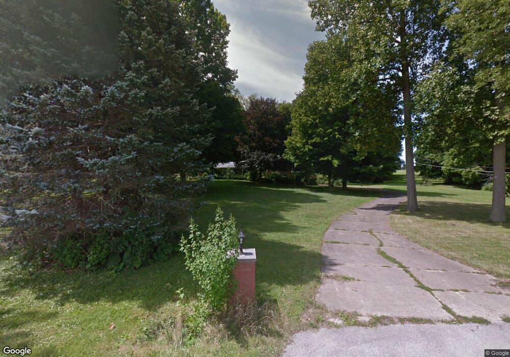
1600 Hulit Rd Mansfield, OH 44903
Estimated Value: $317,083 - $366,000
3
Beds
4
Baths
2,285
Sq Ft
$151/Sq Ft
Est. Value
About This Home
This home is located at 1600 Hulit Rd, Mansfield, OH 44903 and is currently estimated at $346,021, approximately $151 per square foot. 1600 Hulit Rd is a home located in Richland County with nearby schools including Madison High School, St. Mary Catholic School, and Temple-Christian School.
Ownership History
Date
Name
Owned For
Owner Type
Purchase Details
Closed on
Oct 26, 2015
Sold by
Mccormick Earl F and Prosser Shelly D
Bought by
Bivens Gregory K and Bivens Barbara A
Current Estimated Value
Purchase Details
Closed on
Oct 31, 2003
Sold by
Bond Ruth J
Bought by
Mccormick Earl F and Prosser Shelly D
Home Financials for this Owner
Home Financials are based on the most recent Mortgage that was taken out on this home.
Original Mortgage
$140,000
Interest Rate
5.29%
Mortgage Type
Purchase Money Mortgage
Create a Home Valuation Report for This Property
The Home Valuation Report is an in-depth analysis detailing your home's value as well as a comparison with similar homes in the area
Home Values in the Area
Average Home Value in this Area
Purchase History
| Date | Buyer | Sale Price | Title Company |
|---|---|---|---|
| Bivens Gregory K | $140,000 | Ward Title | |
| Mccormick Earl F | $190,000 | Southern Title |
Source: Public Records
Mortgage History
| Date | Status | Borrower | Loan Amount |
|---|---|---|---|
| Previous Owner | Mccormick Earl F | $140,000 |
Source: Public Records
Tax History Compared to Growth
Tax History
| Year | Tax Paid | Tax Assessment Tax Assessment Total Assessment is a certain percentage of the fair market value that is determined by local assessors to be the total taxable value of land and additions on the property. | Land | Improvement |
|---|---|---|---|---|
| 2024 | $4,015 | $75,650 | $11,400 | $64,250 |
| 2023 | $3,824 | $75,650 | $11,400 | $64,250 |
| 2022 | $2,904 | $52,900 | $9,130 | $43,770 |
| 2021 | $2,902 | $52,900 | $9,130 | $43,770 |
| 2020 | $2,925 | $52,900 | $9,130 | $43,770 |
| 2019 | $2,642 | $44,610 | $7,680 | $36,930 |
| 2018 | $2,620 | $44,610 | $7,680 | $36,930 |
| 2017 | $2,631 | $44,610 | $7,680 | $36,930 |
| 2016 | $2,691 | $45,600 | $7,290 | $38,310 |
| 2015 | $2,691 | $55,620 | $7,290 | $48,330 |
| 2014 | $3,218 | $55,620 | $7,290 | $48,330 |
| 2012 | $1,551 | $58,550 | $7,680 | $50,870 |
Source: Public Records
Map
Nearby Homes
- 1791 Beal Rd
- 1292 Wolford Rd
- 1171 Hoover Rd
- 1585 Beal Rd
- 2202 Lakewood Dr
- 0 Hoover Rd
- 1951 Woodmont Rd
- 1806 Richard Dr
- 1997 Hout Rd
- 920 Piper Rd
- 1106 Keller Dr Unit 1108
- 1151 Beal Rd
- 1245 N Stewart Rd
- 1158 Delwood Rd
- 1150 Delwood Dr
- 1910 Crider Rd
- 903 Mayflower Ave
- 2270 Lakecrest Dr Unit 2272
- 683 Coachman Rd
- 671 Coachman Rd