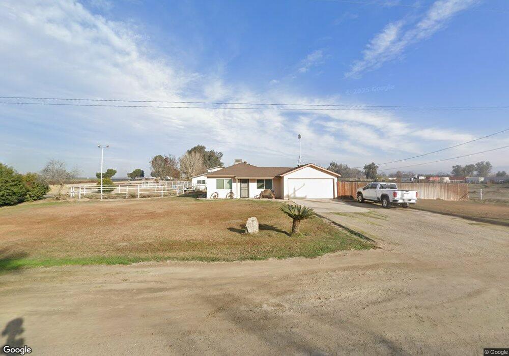
1600 Shafter Rd Bakersfield, CA 93313
Estimated Value: $410,700 - $688,000
3
Beds
2
Baths
1,053
Sq Ft
$494/Sq Ft
Est. Value
About This Home
This home is located at 1600 Shafter Rd, Bakersfield, CA 93313 and is currently estimated at $519,925, approximately $493 per square foot. 1600 Shafter Rd is a home located in Kern County with nearby schools including General Shafter Elementary School, Ridgeview High School, and Gideon Apostolic Academy.
Ownership History
Date
Name
Owned For
Owner Type
Purchase Details
Closed on
Nov 14, 2003
Sold by
Mofield Lonnie Dennis and Mofield Cynthia Faye
Bought by
Bullard Ricky A
Current Estimated Value
Home Financials for this Owner
Home Financials are based on the most recent Mortgage that was taken out on this home.
Original Mortgage
$155,000
Interest Rate
6.04%
Purchase Details
Closed on
Feb 27, 1997
Sold by
Dennis Mofield Lonnie
Bought by
Mofield Lonnie Dennis
Create a Home Valuation Report for This Property
The Home Valuation Report is an in-depth analysis detailing your home's value as well as a comparison with similar homes in the area
Home Values in the Area
Average Home Value in this Area
Purchase History
| Date | Buyer | Sale Price | Title Company |
|---|---|---|---|
| Bullard Ricky A | $250,000 | Stewart Title | |
| Mofield Lonnie Dennis | -- | Commonwealth Title |
Source: Public Records
Mortgage History
| Date | Status | Borrower | Loan Amount |
|---|---|---|---|
| Closed | Bullard Ricky A | $155,000 |
Source: Public Records
Tax History Compared to Growth
Tax History
| Year | Tax Paid | Tax Assessment Tax Assessment Total Assessment is a certain percentage of the fair market value that is determined by local assessors to be the total taxable value of land and additions on the property. | Land | Improvement |
|---|---|---|---|---|
| 2025 | $3,462 | $270,123 | $85,298 | $184,825 |
| 2024 | $3,370 | $264,827 | $83,626 | $181,201 |
| 2023 | $3,370 | $259,636 | $81,987 | $177,649 |
| 2022 | $3,289 | $254,546 | $80,380 | $174,166 |
| 2021 | $3,185 | $249,555 | $78,804 | $170,751 |
| 2020 | $3,122 | $246,997 | $77,996 | $169,001 |
| 2019 | $3,074 | $246,997 | $77,996 | $169,001 |
| 2018 | $2,991 | $237,408 | $74,968 | $162,440 |
| 2017 | $2,930 | $232,754 | $73,499 | $159,255 |
| 2016 | $2,453 | $228,191 | $72,058 | $156,133 |
| 2015 | $1,784 | $165,000 | $60,000 | $105,000 |
| 2014 | $1,675 | $155,000 | $55,000 | $100,000 |
Source: Public Records
Map
Nearby Homes
- 1509 Porty Ave
- 1523 Kuhio St
- 15852 Wible Rd
- 0 Bear Mountain Blvd
- 10517 McCormac Ave
- 1301 Taft Hwy Unit 91
- 1301 Taft Hwy Unit 50
- 1301 Taft Hwy
- 1301 Taft Hwy Unit 166
- 1301 Taft Hwy Unit 93
- 1301 Taft Hwy Unit 12
- 1225 Taft Hwy Unit 5
- 1225 Taft Hwy Unit 23
- 1225 Taft Hwy Unit 3
- 1225 Taft Hwy Unit 24
- 811 Kidlington Ct
- 0 S Union Ave Unit 202509110
- 9449 S Union Ave
- 2310 Taft Hwy
- 1510 Shafter Rd
- 14424 S H St
- 1645 Shafter Rd
- 1601 Shafter Rd
- 14520 S H St
- 1500 Shafter Rd
- 1501 Shafter Rd
- 1455 Shafter Rd
- 1632 Shafter Rd
- 14711 Mccaffrey St
- 1538 Cyril Ct
- 14200 S H St
- 1260 Shafter Rd
- 1525 Cyril Ct
- 14823 Mccaffrey St
- 14201 Costajo Rd
- 14201 Costajo Rd
- 14141 Costajo Rd
- 13900 S H St
- 13930 Billie St