16005 S Graham Rd Pleasant Hill, MO 64080
Estimated Value: $601,344 - $754,000
3
Beds
2
Baths
3,244
Sq Ft
$214/Sq Ft
Est. Value
About This Home
This home is located at 16005 S Graham Rd, Pleasant Hill, MO 64080 and is currently estimated at $693,448, approximately $213 per square foot. 16005 S Graham Rd is a home located in Cass County with nearby schools including Pleasant Hill Primary School, Pleasant Hill Elementary School, and Pleasant Hill Intermediate School.
Ownership History
Date
Name
Owned For
Owner Type
Purchase Details
Closed on
May 14, 2019
Sold by
Downing Roger and Downing Jodi
Bought by
Sawyer Kerry and Ergovich Phillip L
Current Estimated Value
Home Financials for this Owner
Home Financials are based on the most recent Mortgage that was taken out on this home.
Original Mortgage
$286,630
Outstanding Balance
$250,977
Interest Rate
4%
Mortgage Type
New Conventional
Estimated Equity
$442,471
Create a Home Valuation Report for This Property
The Home Valuation Report is an in-depth analysis detailing your home's value as well as a comparison with similar homes in the area
Home Values in the Area
Average Home Value in this Area
Purchase History
| Date | Buyer | Sale Price | Title Company |
|---|---|---|---|
| Sawyer Kerry | -- | Clt |
Source: Public Records
Mortgage History
| Date | Status | Borrower | Loan Amount |
|---|---|---|---|
| Open | Sawyer Kerry | $286,630 |
Source: Public Records
Tax History Compared to Growth
Tax History
| Year | Tax Paid | Tax Assessment Tax Assessment Total Assessment is a certain percentage of the fair market value that is determined by local assessors to be the total taxable value of land and additions on the property. | Land | Improvement |
|---|---|---|---|---|
| 2024 | $3,009 | $49,940 | $4,230 | $45,710 |
| 2023 | $3,009 | $49,940 | $4,230 | $45,710 |
| 2022 | $2,587 | $42,350 | $4,230 | $38,120 |
| 2021 | $2,502 | $42,350 | $4,230 | $38,120 |
| 2020 | $2,343 | $40,860 | $4,230 | $36,630 |
| 2019 | $2,305 | $40,860 | $4,230 | $36,630 |
| 2018 | $2,179 | $36,630 | $3,380 | $33,250 |
| 2017 | $2,254 | $36,630 | $3,380 | $33,250 |
| 2016 | $2,254 | $37,850 | $3,380 | $34,470 |
| 2015 | $2,289 | $37,850 | $3,380 | $34,470 |
| 2014 | $2,302 | $37,850 | $3,380 | $34,470 |
| 2013 | -- | $37,850 | $3,380 | $34,470 |
Source: Public Records
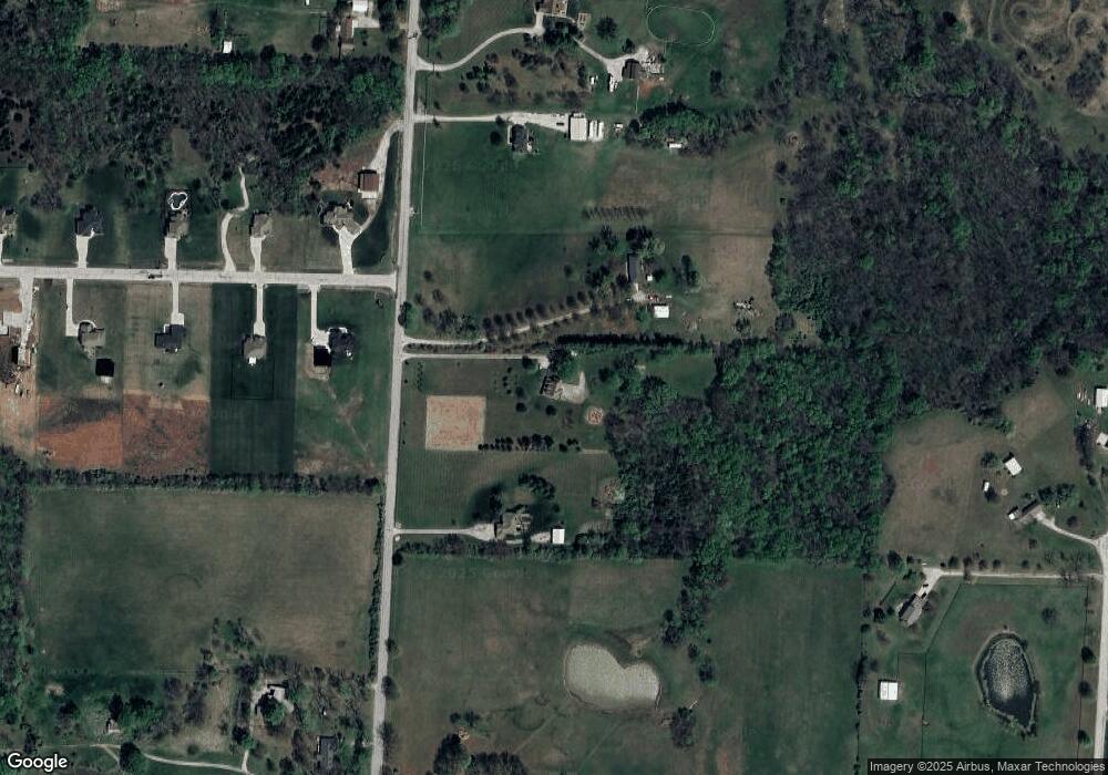
Map
Nearby Homes
- 16025 Knorpp Rd
- 29 Acres E State Route Vv
- 32204 E County Line Rd
- 1405 E State Route Vv
- 1507 Trail Ridge Dr
- 1918 Owen Dr
- 1908 Owen Dr
- 2004 Owen Dr
- 14801 Hamilton Rd
- 0 E County Line Rd
- 1202 Morgan Dr
- 28410 E County Line Rd
- 1200 Buckeye Ln
- 14611 Gammon Rd
- 1309 Pinoak Ct
- 25.8+/- Acres E 163rd St
- 0 E 163rd St Unit HMS2499275
- 1202 Ashford St
- 902 Buckeye Ln
- Lot 7 Snyder Rd
- 16103 S Graham Rd
- 30411 Woodland Dr
- 15913 S Graham Rd
- 30409 Woodland Dr
- 30412 Woodland Dr
- 30410 Woodland Dr
- 30407 Woodland Dr
- 15901 S Graham Rd
- 15900 S Graham Rd
- 16122 S Graham Rd
- 30408 Woodland Dr
- 16116 S Walnut Grove Rd
- 16201 S Graham Rd
- 30405 Woodland Dr
- 16018 S Walnut Grove Rd
- 30406 Woodland Dr
- 15812 S Graham Rd
- 0 Woodland Dr
- 0 Woodland Dr
- 30403 Woodland Dr