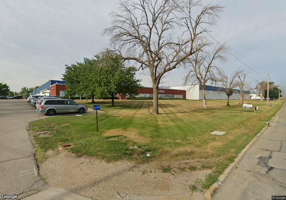
1601 Blairs Ferry Rd NE Cedar Rapids, IA 52402
Noelridge Park NeighborhoodEstimated Value: $15,578,049
--
Bed
--
Bath
908,226
Sq Ft
$17/Sq Ft
Est. Value
About This Home
This home is located at 1601 Blairs Ferry Rd NE, Cedar Rapids, IA 52402 and is currently estimated at $15,578,049, approximately $17 per square foot. 1601 Blairs Ferry Rd NE is a home located in Linn County with nearby schools including T.C. Cherry Elementary School, Wright Elementary School, and Harding Middle School.
Ownership History
Date
Name
Owned For
Owner Type
Purchase Details
Closed on
Jan 15, 2025
Sold by
Mdc Coast 22 Llc
Bought by
City Of Cedar Rapids
Current Estimated Value
Purchase Details
Closed on
Jan 5, 2023
Sold by
Kap Card 6 Seller Llc
Bought by
Mdc Coast 22 Llc
Purchase Details
Closed on
Jun 30, 2015
Sold by
Dll Cedar Rapids Llc
Bought by
Abcfgs Holdings Llc
Purchase Details
Closed on
Apr 27, 2007
Sold by
Longview Fibre Paper & Packaging Inc
Bought by
Dll Cedar Rapids Llc
Purchase Details
Closed on
Dec 31, 2005
Sold by
Longview Fibre Co
Bought by
Longview Fibre Paper & Packaging Inc
Create a Home Valuation Report for This Property
The Home Valuation Report is an in-depth analysis detailing your home's value as well as a comparison with similar homes in the area
Home Values in the Area
Average Home Value in this Area
Purchase History
| Date | Buyer | Sale Price | Title Company |
|---|---|---|---|
| City Of Cedar Rapids | $112,370 | -- | |
| City Of Cedar Rapids | $112,370 | -- | |
| Mdc Coast 22 Llc | -- | -- | |
| Kap Card 6 Seller Llc | -- | -- | |
| Abcfgs Holdings Llc | $11,475,500 | Stewart Title Nts Chicago | |
| Dll Cedar Rapids Llc | $4,420,000 | Chicago Title Insurance Comp | |
| Longview Fibre Paper & Packaging Inc | -- | None Available |
Source: Public Records
Tax History Compared to Growth
Tax History
| Year | Tax Paid | Tax Assessment Tax Assessment Total Assessment is a certain percentage of the fair market value that is determined by local assessors to be the total taxable value of land and additions on the property. | Land | Improvement |
|---|---|---|---|---|
| 2025 | $296,490 | $9,445,100 | $1,269,800 | $8,175,300 |
| 2024 | $166,614 | $8,699,800 | $1,270,100 | $7,429,700 |
| 2023 | $166,614 | $8,699,800 | $1,270,100 | $7,429,700 |
| 2022 | $167,246 | $4,855,700 | $1,270,100 | $3,585,600 |
| 2021 | $163,368 | $8,441,300 | $1,270,100 | $7,171,200 |
| 2020 | $163,368 | $8,220,500 | $1,055,200 | $7,165,300 |
| 2019 | $157,970 | $4,634,900 | $1,055,200 | $3,579,700 |
| 2018 | $157,190 | $4,634,900 | $1,055,200 | $3,579,700 |
| 2017 | $159,400 | $4,634,900 | $1,055,200 | $3,579,700 |
| 2016 | $159,400 | $4,634,900 | $1,055,200 | $3,579,700 |
| 2015 | $162,901 | $4,706,066 | $616,226 | $4,089,840 |
| 2014 | $159,300 | $4,706,066 | $616,226 | $4,089,840 |
| 2013 | $170,204 | $4,706,066 | $616,226 | $4,089,840 |
Source: Public Records
Map
Nearby Homes
- 109 E Willman St
- 327 Meadows Field Dr NE
- 0 Council St NE
- 1638 47th St NE
- 250 Cimarron Dr Unit 311
- 105 W Willman St
- 1006 Messina Dr NE
- 1138 Messina Dr NE
- 5455 Blairs Ferry Rd NE
- 6505 Brookview Ln NE
- 915 Suburban St NE
- 1 N Center Point Rd
- 3 N Center Point Rd
- 6410 Creekside Dr NE Unit 1
- 6410 Creekside Dr NE
- 6430 Creekside Dr NE Unit 4
- 1200 Murray St NE Unit 11
- 4309 Benton St NE
- 1472 Tower Ln NE Unit 5
- 4523 Regal Ave NE
- 1725 Blairs Ferry Rd NE Unit 103
- 1.23 Acres Blairs Ferry Rd NE
- 1925 Blairs Ferry Rd NE Unit Bldgs 1,2,3
- 1925 Blairs Ferry Rd NE Unit Bldgs 2 & 3
- 1925 Blairs Ferry Rd NE Unit Bldg 1
- 1925 Blairs Ferry Rd NE Unit Bldgs 1 & 2
- 1925 Blairs Ferry Rd NE
- 5515 Council St NE Unit D
- 5515 Council St NE Unit B
- 5515 Council St NE Unit F
- 5515 Council St NE Unit E
- 5515 Council St NE Unit A
- 5515 Council St NE Unit C
- 5515 Council St NE Unit G
- 5515 Council St NE Unit I
- 5515 Council St NE Unit H
- 1810 Blairs Ferry Rd NE
- 5527 Crane Ln NE Unit A
- 5527 Crane Ln NE
- 1540 Midland Ct NE