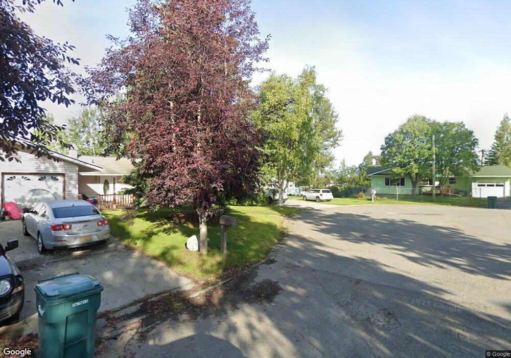
1601 Brink Dr Anchorage, AK 99504
Northeast Anchorage NeighborhoodEstimated Value: $290,000 - $588,972
5
Beds
3
Baths
2,840
Sq Ft
$153/Sq Ft
Est. Value
About This Home
This home is located at 1601 Brink Dr, Anchorage, AK 99504 and is currently estimated at $434,743, approximately $153 per square foot. 1601 Brink Dr is a home located in Anchorage Municipality with nearby schools including Susitna Elementary School, Nicholas J. Begich Middle School, and Bartlett High School.
Ownership History
Date
Name
Owned For
Owner Type
Purchase Details
Closed on
Feb 26, 2010
Sold by
Casagranda Katherine
Bought by
Francisco Noreen P
Current Estimated Value
Home Financials for this Owner
Home Financials are based on the most recent Mortgage that was taken out on this home.
Original Mortgage
$324,022
Outstanding Balance
$216,916
Interest Rate
5.5%
Mortgage Type
FHA
Estimated Equity
$217,827
Create a Home Valuation Report for This Property
The Home Valuation Report is an in-depth analysis detailing your home's value as well as a comparison with similar homes in the area
Home Values in the Area
Average Home Value in this Area
Purchase History
| Date | Buyer | Sale Price | Title Company |
|---|---|---|---|
| Francisco Noreen P | -- | Atga |
Source: Public Records
Mortgage History
| Date | Status | Borrower | Loan Amount |
|---|---|---|---|
| Open | Francisco Noreen P | $324,022 |
Source: Public Records
Tax History
| Year | Tax Paid | Tax Assessment Tax Assessment Total Assessment is a certain percentage of the fair market value that is determined by local assessors to be the total taxable value of land and additions on the property. | Land | Improvement |
|---|---|---|---|---|
| 2025 | $7,976 | $540,000 | $94,500 | $445,500 |
| 2024 | $7,976 | $494,000 | $94,500 | $399,500 |
| 2023 | $7,766 | $456,000 | $94,500 | $361,500 |
| 2022 | $7,553 | $448,500 | $94,500 | $354,000 |
| 2021 | $7,248 | $402,200 | $94,500 | $307,700 |
| 2020 | $5,763 | $389,300 | $94,500 | $294,800 |
| 2019 | $5,402 | $380,200 | $94,500 | $285,700 |
| 2018 | $5,164 | $364,900 | $94,500 | $270,400 |
| 2017 | $5,627 | $379,300 | $94,500 | $284,800 |
| 2016 | $5,247 | $387,300 | $92,700 | $294,600 |
| 2015 | $5,247 | $384,400 | $92,700 | $291,700 |
| 2014 | $5,247 | $364,800 | $84,300 | $280,500 |
Source: Public Records
Map
Nearby Homes
- 1900 Muldoon Rd
- 1542 Northview Dr Unit E5
- 000 Muldoon & Debarr Rd
- 8510 Moss Ct
- 7339 E 17th Ave
- 7831 Wildbrook Ct
- 7426 E 20th Ave
- 2221 Muldoon Rd Unit 291
- 2221 Muldoon Rd Unit 524
- 4430 View Ct Unit 1
- 8510 Hidden View Ct
- 8512 Cross Pointe Loop
- 7524 Eastbrook Cir
- 2221 E Muldoon Unit 143
- 822 Cherry St
- 1500 Marten St
- 705 Muldoon Rd Unit 187
- 705 Muldoon Rd Unit 13
- 705 Muldoon Rd Unit 180
- Tr E Debarr Rd
Your Personal Tour Guide
Ask me questions while you tour the home.