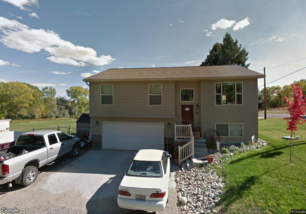
1601 Cove Ln Laurel, MT 59044
Estimated Value: $374,226 - $422,000
4
Beds
3
Baths
1,703
Sq Ft
$230/Sq Ft
Est. Value
About This Home
This home is located at 1601 Cove Ln, Laurel, MT 59044 and is currently estimated at $391,057, approximately $229 per square foot. 1601 Cove Ln is a home located in Yellowstone County with nearby schools including Fred W. Graff School, West School, and Laurel Middle School.
Ownership History
Date
Name
Owned For
Owner Type
Purchase Details
Closed on
Aug 16, 2012
Sold by
House Jeff and House Carrie
Bought by
Thomas Jason L and Thomas Tianna L
Current Estimated Value
Home Financials for this Owner
Home Financials are based on the most recent Mortgage that was taken out on this home.
Original Mortgage
$204,081
Outstanding Balance
$140,644
Interest Rate
3.56%
Mortgage Type
New Conventional
Estimated Equity
$250,413
Purchase Details
Closed on
Oct 20, 2010
Sold by
Amish Heritage Homes Inc
Bought by
House Jeff and House Carrie
Home Financials for this Owner
Home Financials are based on the most recent Mortgage that was taken out on this home.
Original Mortgage
$148,443
Interest Rate
4.31%
Mortgage Type
New Conventional
Purchase Details
Closed on
Aug 16, 2010
Sold by
Brown Gary Lynn
Bought by
Amish Heritage Homes Inc
Create a Home Valuation Report for This Property
The Home Valuation Report is an in-depth analysis detailing your home's value as well as a comparison with similar homes in the area
Home Values in the Area
Average Home Value in this Area
Purchase History
| Date | Buyer | Sale Price | Title Company |
|---|---|---|---|
| Thomas Jason L | -- | None Available | |
| House Jeff | -- | None Available | |
| Amish Heritage Homes Inc | -- | None Available |
Source: Public Records
Mortgage History
| Date | Status | Borrower | Loan Amount |
|---|---|---|---|
| Open | Thomas Jason L | $204,081 | |
| Previous Owner | House Jeff | $148,443 |
Source: Public Records
Tax History
| Year | Tax Paid | Tax Assessment Tax Assessment Total Assessment is a certain percentage of the fair market value that is determined by local assessors to be the total taxable value of land and additions on the property. | Land | Improvement |
|---|---|---|---|---|
| 2025 | $1,875 | $348,900 | $60,912 | $287,988 |
| 2024 | $1,875 | $272,000 | $39,284 | $232,716 |
| 2023 | $1,849 | $272,000 | $39,284 | $232,716 |
| 2022 | $1,577 | $226,500 | $0 | $0 |
| 2021 | $1,580 | $226,500 | $0 | $0 |
| 2020 | $1,643 | $231,700 | $0 | $0 |
| 2019 | $1,576 | $231,700 | $0 | $0 |
| 2018 | $1,734 | $221,600 | $0 | $0 |
| 2017 | $1,451 | $221,600 | $0 | $0 |
| 2016 | $1,574 | $227,600 | $0 | $0 |
| 2015 | $1,547 | $227,600 | $0 | $0 |
| 2014 | $1,218 | $102,396 | $0 | $0 |
Source: Public Records
Map
Nearby Homes
- 1631 Valley Dr
- 1319 Valley Dr
- 1735 Lobo Dr
- 109 E 12th St
- 1216 W 12th Street Cir
- 1960 Coyote Ridge Rd N
- 1013 W 12th St
- 1109 10th Ave
- 1003 Montana Ave
- 1014 Rochelle Ln
- 603 5th Ave
- TBD Block 1 Lot 3
- TBD Block 3 Lot 6
- 516 Pennsylvania Ave
- 110 E 5th St
- 1031 Fir Ave
- 601 E 5th St
- 414 Wyoming Ave
- 1104 E 8th St
- 310 (and 814 w 4) 8th Ave
- 1603 Valley Dr
- 1621 Valley Dr
- 1612 Valley Dr
- 1628 Valley Dr
- 1535 Valley Dr
- 1639 Cove Ln
- 1638 Cove Ln
- 1650 Valley Dr
- 1653 Valley Dr
- 1733 Beartooth Dr
- 1708 Valley Dr
- 1702 Groshelle Blvd
- 1707 Valley Dr
- 1616 1st Ave
- 1628 1st Ave
- 1710 Groshelle Blvd
- 1718 Groshelle Blvd
- 1716 Beartooth Dr
- 1726 Groshelle Blvd
- 1525 1st Ave
Your Personal Tour Guide
Ask me questions while you tour the home.