1601 Gold Camp Way Franktown, CO 80116
Estimated Value: $964,864 - $1,384,000
5
Beds
4
Baths
2,921
Sq Ft
$401/Sq Ft
Est. Value
About This Home
This home is located at 1601 Gold Camp Way, Franktown, CO 80116 and is currently estimated at $1,171,466, approximately $401 per square foot. 1601 Gold Camp Way is a home located in Douglas County with nearby schools including Franktown Elementary School, Sagewood Middle School, and Ponderosa High School.
Ownership History
Date
Name
Owned For
Owner Type
Purchase Details
Closed on
Oct 28, 1999
Sold by
Hart Donald R and Hart Jane M
Bought by
Johnson David R and Johnson Donnelle J
Current Estimated Value
Home Financials for this Owner
Home Financials are based on the most recent Mortgage that was taken out on this home.
Original Mortgage
$310,000
Outstanding Balance
$94,785
Interest Rate
7.77%
Mortgage Type
Stand Alone First
Estimated Equity
$1,076,681
Purchase Details
Closed on
Apr 26, 1977
Sold by
Zimet Carl N and Zimet Sara G
Bought by
Hart Donald R and Hart Jane M
Create a Home Valuation Report for This Property
The Home Valuation Report is an in-depth analysis detailing your home's value as well as a comparison with similar homes in the area
Home Values in the Area
Average Home Value in this Area
Purchase History
| Date | Buyer | Sale Price | Title Company |
|---|---|---|---|
| Johnson David R | $399,500 | -- | |
| Hart Donald R | $30,000 | -- |
Source: Public Records
Mortgage History
| Date | Status | Borrower | Loan Amount |
|---|---|---|---|
| Open | Johnson David R | $310,000 |
Source: Public Records
Tax History Compared to Growth
Tax History
| Year | Tax Paid | Tax Assessment Tax Assessment Total Assessment is a certain percentage of the fair market value that is determined by local assessors to be the total taxable value of land and additions on the property. | Land | Improvement |
|---|---|---|---|---|
| 2024 | $5,568 | $68,280 | $34,440 | $33,840 |
| 2023 | $5,630 | $68,280 | $34,440 | $33,840 |
| 2022 | $4,459 | $53,260 | $23,430 | $29,830 |
| 2021 | $4,621 | $53,260 | $23,430 | $29,830 |
| 2020 | $4,051 | $47,770 | $19,980 | $27,790 |
| 2019 | $4,070 | $47,770 | $19,980 | $27,790 |
| 2018 | $3,515 | $40,530 | $15,230 | $25,300 |
| 2017 | $3,273 | $40,530 | $15,230 | $25,300 |
| 2016 | $3,197 | $38,820 | $12,730 | $26,090 |
| 2015 | $3,269 | $38,820 | $12,730 | $26,090 |
| 2014 | $2,978 | $33,050 | $10,980 | $22,070 |
Source: Public Records
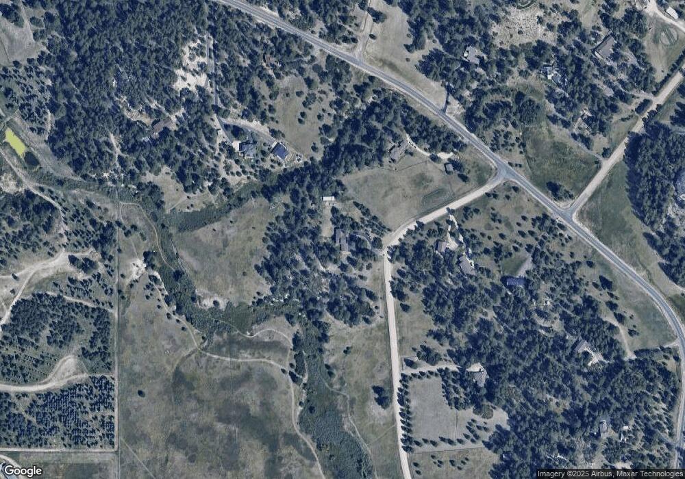
Map
Nearby Homes
- 10691 Tomichi Dr
- 1559 Apex Rd
- 1571 Arrowpoint Ct
- 1561 Arrowpoint Ct
- 1555 Arrowpoint Ct
- 1972 Gold Camp Way
- 10400 Pine Valley Dr
- 11274 E Manitou Rd
- 1721 Arrowpoint Ct
- 1724 Arrowpoint Ct
- 11044 Conestoga Place
- 1341 Tomichi Dr
- 2072 Summit St
- 856 Woodridge Rd
- 1133 Tomichi Dr
- 230 S Big Meadow Trail
- 9250 Steeplechase Dr
- 10525 Wild Fox Place
- 210 High Meadows Loop
- 104 Bill Davis Rd
- 10710 Tomichi Dr
- 1592 Gold Camp Way
- 10538 Tomichi Dr
- 11069 Tomichi Dr
- 10802 Tomichi Dr
- 10644 Tomichi Dr
- 1253 Apex Rd
- 1676 Gold Camp Way
- 10526 Tomichi Dr
- 10900 Tomichi Dr
- 1726 Gold Camp Way
- 10804 Empire Dr
- 1726 Gold Camp Way
- 10755 Empire Dr
- 10555 Tomichi Dr
- 1353 Apex Rd
- 10950 Tomichi Dr
- 1465 Apex Rd
- 10855 Tomichi Dr
- 1776 Gold Camp Way