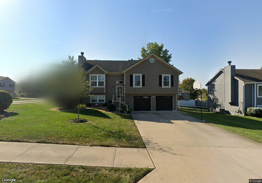
1601 Johnston Dr Raymore, MO 64083
Estimated Value: $293,000 - $313,000
3
Beds
2
Baths
1,129
Sq Ft
$268/Sq Ft
Est. Value
About This Home
This home is located at 1601 Johnston Dr, Raymore, MO 64083 and is currently estimated at $302,699, approximately $268 per square foot. 1601 Johnston Dr is a home located in Cass County with nearby schools including Eagle Glen Intermediate School, Raymore-Peculiar East Middle School, and Raymore-Peculiar Senior High School.
Ownership History
Date
Name
Owned For
Owner Type
Purchase Details
Closed on
Sep 11, 2012
Sold by
Bueno Raul and Orlarte Maria Magdelena
Bought by
Bueno Raul and Bueno Maria
Current Estimated Value
Home Financials for this Owner
Home Financials are based on the most recent Mortgage that was taken out on this home.
Original Mortgage
$110,868
Outstanding Balance
$16,955
Interest Rate
3.59%
Mortgage Type
FHA
Estimated Equity
$285,744
Purchase Details
Closed on
Nov 1, 2003
Sold by
Fritzshall Michael H and Fritzshall Teresita S
Bought by
Bueno Raul and Olarte Maria Magdalena
Home Financials for this Owner
Home Financials are based on the most recent Mortgage that was taken out on this home.
Original Mortgage
$123,450
Interest Rate
5.8%
Mortgage Type
New Conventional
Create a Home Valuation Report for This Property
The Home Valuation Report is an in-depth analysis detailing your home's value as well as a comparison with similar homes in the area
Home Values in the Area
Average Home Value in this Area
Purchase History
| Date | Buyer | Sale Price | Title Company |
|---|---|---|---|
| Bueno Raul | -- | None Available | |
| Bueno Raul | -- | -- |
Source: Public Records
Mortgage History
| Date | Status | Borrower | Loan Amount |
|---|---|---|---|
| Open | Bueno Raul | $110,868 | |
| Previous Owner | Bueno Raul | $123,450 |
Source: Public Records
Tax History
| Year | Tax Paid | Tax Assessment Tax Assessment Total Assessment is a certain percentage of the fair market value that is determined by local assessors to be the total taxable value of land and additions on the property. | Land | Improvement |
|---|---|---|---|---|
| 2025 | $2,500 | $34,710 | $5,530 | $29,180 |
| 2024 | $2,500 | $30,720 | $5,020 | $25,700 |
| 2023 | $2,497 | $30,720 | $5,020 | $25,700 |
| 2022 | $2,193 | $26,810 | $5,020 | $21,790 |
| 2021 | $2,194 | $26,810 | $5,020 | $21,790 |
| 2020 | $2,157 | $25,890 | $5,020 | $20,870 |
| 2019 | $2,082 | $25,890 | $5,020 | $20,870 |
| 2018 | $1,931 | $23,190 | $4,310 | $18,880 |
| 2017 | $1,737 | $23,190 | $4,310 | $18,880 |
| 2016 | $1,737 | $21,650 | $4,310 | $17,340 |
| 2015 | $1,738 | $21,650 | $4,310 | $17,340 |
| 2014 | $1,739 | $21,650 | $4,310 | $17,340 |
| 2013 | -- | $21,650 | $4,310 | $17,340 |
Source: Public Records
Map
Nearby Homes
- 1601 Stasi Ave
- 212 S Huntsman Blvd
- 411 Eagle Glen Dr
- 414 Eagle Glen Dr
- 110 S Westglen Dr
- 112 S Westglen Dr
- 0 Scott Dr
- 215 Scott Dr
- 415 Woodview Dr
- 603 Old Paint Rd
- 113 N Eastglen Dr
- 1105 Brookside Place
- 1412 W Stone Blvd
- 300 Dean Ave
- 105 N Landcaster Dr
- 1510 Colt Cir
- 201 Johnston Dr
- 701 Hampstead Dr
- 1519 Colt Cir
- 1108 Yokley Dr
- 1603 Johnston Dr
- 1600 Cody Dr
- 1602 Cody Dr
- 301 S Pelham Path
- 1605 Johnston Dr
- 303 S Pelham Path
- 1600 Johnston Dr
- 1602 Johnston Dr
- 305 S Pelham Path
- 215 S Pelham Path
- 1604 Johnston Dr
- 1607 Johnston Dr
- 307 S Pelham Path
- 1606 Cody Dr
- 1521 Johnston Dr
- 1606 Johnston Dr
- 302 Eagle Glen Ct
- 1601 Cody Dr
- 213 S Pelham Path
- 1603 Stasi Ave
Your Personal Tour Guide
Ask me questions while you tour the home.