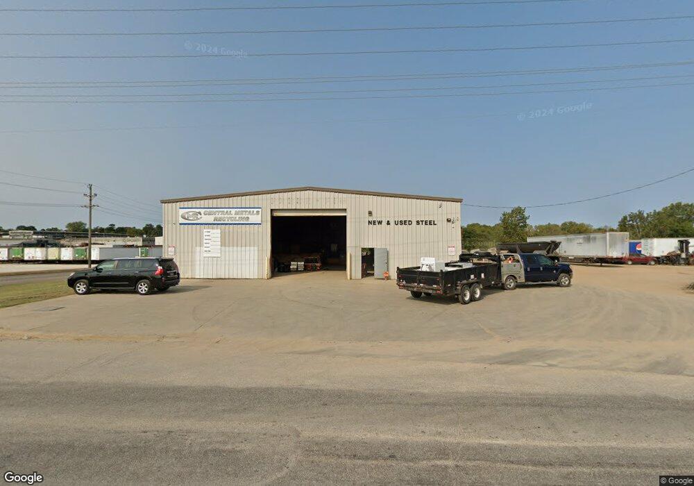
1601 N 30th St Quincy, IL 62301
--
Bed
--
Bath
9,017
Sq Ft
10.82
Acres
About This Home
This home is located at 1601 N 30th St, Quincy, IL 62301. 1601 N 30th St is a home located in Adams County with nearby schools including Iles Elementary School, Quincy Junior High School, and Quincy Senior High School.
Ownership History
Date
Name
Owned For
Owner Type
Purchase Details
Closed on
Feb 19, 2021
Sold by
Liberty Bank
Bought by
Robert J Reed Trust
Home Financials for this Owner
Home Financials are based on the most recent Mortgage that was taken out on this home.
Original Mortgage
$300,327
Outstanding Balance
$271,092
Interest Rate
3.25%
Mortgage Type
New Conventional
Purchase Details
Closed on
Jan 26, 2018
Sold by
Sheriff Of Adams County
Bought by
Farmers Bank Of Liberty
Create a Home Valuation Report for This Property
The Home Valuation Report is an in-depth analysis detailing your home's value as well as a comparison with similar homes in the area
Home Values in the Area
Average Home Value in this Area
Purchase History
| Date | Buyer | Sale Price | Title Company |
|---|---|---|---|
| Robert J Reed Trust | $300,000 | Schmiedeskamp Robertson Neu & | |
| Farmers Bank Of Liberty | -- | Towne & Country Abstract |
Source: Public Records
Mortgage History
| Date | Status | Borrower | Loan Amount |
|---|---|---|---|
| Open | Robert J Reed Trust | $300,327 |
Source: Public Records
Tax History Compared to Growth
Tax History
| Year | Tax Paid | Tax Assessment Tax Assessment Total Assessment is a certain percentage of the fair market value that is determined by local assessors to be the total taxable value of land and additions on the property. | Land | Improvement |
|---|---|---|---|---|
| 2024 | $6,893 | $116,500 | $40,730 | $75,770 |
| 2023 | $6,574 | $108,430 | $37,910 | $70,520 |
| 2022 | $6,574 | $100,000 | $34,960 | $65,040 |
| 2021 | $9,854 | $157,970 | $33,400 | $124,570 |
| 2020 | $9,612 | $155,220 | $32,820 | $122,400 |
| 2019 | $9,306 | $152,480 | $32,240 | $120,240 |
| 2018 | $9,177 | $148,820 | $31,470 | $117,350 |
| 2017 | $9,071 | $146,770 | $31,040 | $115,730 |
| 2016 | $8,924 | $136,840 | $28,940 | $107,900 |
| 2015 | $8,396,520 | $136,840 | $28,940 | $107,900 |
| 2012 | $8,366 | $133,330 | $28,190 | $105,140 |
Source: Public Records
Map
Nearby Homes
- 1632 N 24th St
- 1715 N 24th St
- 2625 Cherry St
- 2524 Cedar St
- 2048 Locust St
- 2205 Sycamore St
- 3329 Chestnut St
- 2843 Elm St
- 3302 Lindell Ave
- 4811 Elm St
- 822 N Branch Ave
- 1424 N 20th St
- 921 Santa Maria Ct
- 2608 Kings Pointe SE
- 1615 Maple St
- 2815 N 23rd St
- 2809 N 23rd St
- 2803 N 23rd St
- 2805 N 23rd St
- 2807 N 23rd St
- 1701 N 30th St
- 1812 N 30th St
- 1827 N 30th St
- 2639 Larch Rd
- 2631 Larch Rd
- 2625 Larch Rd
- 2609 Larch Rd
- 3001 Locust St
- 2007 N 30th St
- 2603 Larch Rd
- 2610 Turner Rd
- 2601 Locust St
- 2604 Larch Rd
- 2601 Larch Rd
- 2535 Locust St
- 2539 Larch Rd
- 2535 Larch Rd
- 3200 Wisman Ln
- 3200 Wisman Ln Unit East Building
- 2529 Locust St